‘Extreme’ weather event: Dozens rescued as Victoria homes flooded
As emergency crews carry out dozens of rescues amid flash flooding in Victoria, Jim Chalmers warns of the ‘consequences’ of extreme weather events in Queensland.
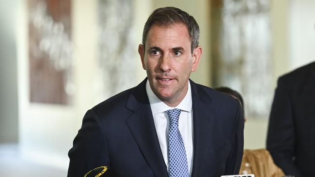
The federal government said the cost of the rain and flooding in Queensland will “weigh heavily on our economy”, as Victoria braces for dangerous flash flooding on Monday.
A strong and moist low pressure system currently moving across the northwest of Victoria means intense rainfall will continue to plague the state.
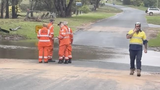
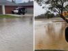
More than 920 requests for assistance have been made throughout Victoria in 24 hours, with dozens of rescues taking place overnight as floodwaters inundate homes and the state battles a potentially life-threatening deluge in the next 24-hours.
“The human consequences of this heavy weather are what matters the most, but there will be consequences for our economy and for our budget as well,” Treasurer Jim Chalmers said.
He said rising interest rates coupled with global uncertainty and conflicts will see inflation “persist” into 2025.
“All of this combined will weigh on our economy in the opening months of 2024 and in the year ahead.“ Mr Chalmers said.
As of 10am on Monday morning, Victoria’s State Emergency Service (VICSES) made 26 flood rescues and responded to about 500 property-related incidents.
The Bureau of Meteorology (BoM) has issued a severe weather warning for a stretch of country between Warragul and east of Bendigo.
A spokesman for the VICSES told The Australian the worst affected regions include Bendigo, where they responded to 156 requests for assistance.
“The most active SES unit was in Bendigo where they had 156 requests for assistance, Killmore had 72 requests, Warrnambool had 57 and nine people were rescued from Goornong between 1am and 4am,” the spokesman said.
It's been a busy one folks. As at 10:00am today, in the last 24 hours we've received over 920 requests for assistance, including 503 for flood, 210 trees down, 118 counts of building damage (1/2) pic.twitter.com/a4Sqqfmrdh
— VICSES News (@vicsesnews) January 7, 2024
Residents surrounding the Campaspe River between Lake Eppalock and Barnadown, south of Bendigo, were told to move to higher ground on Monday morning, with more than 130mm falling in the river catchment since 9am Sunday.
As of Monday morning, the level of the Campaspe River at Barnadown was 5.17m and rising.
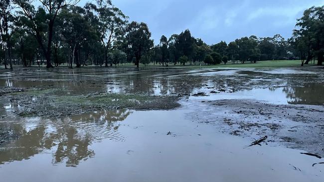
There are fears it may reach 6m — similar to the November 2010 flood level — by late morning. Heathcote, in Central Victoria, recorded 160 millimetres of rain in 24 hours.
Senior forecaster Miriam Bradbury said flash flooding is likely in places like Shepparton, Wangaratta and Wodonga.
“We have flood watches still covering large parts of Victoria and the risk of riverine flooding continues today, we may see these flood watches upgraded throughout the day,” Ms Bradbury said.
“We also have a severe weather warning for heavy rainfall and flash flooding for north central and north eastern parts of Victoria and also parts of southern New South Wales.”
There are flood watches in place for rivers in Gippsland and in Central and Northern Victoria, in addition to the major flood warning for the Campaspe River.
Meanwhile in Queensland, much of the state could potentially see a return to wet, stormy conditions for at least half of the week.
More thunderstorms and heavy rainfall are forecast to lash through parts of the southeast coast as the clean-up continues into the second week of the year.
The Bureau’s Patch Clapp said thunderstorms could form between the Warrego region through to the north west.
“It’s a bit of a mixed bag to start the week with, but we are seeing shower and storm potential for much of the state,” Mr Clapp said.
This comes as power was restored to 100 per cent of homes in the Gold Coast and Scenic Rim regions, which were battered by the Christmas Day deluge.
Mr Clapp said a trough was making its way towards the east coast, where by Tuesday it could reach parts of the Darling Downs and Goondiwindi.
“By Wednesday, we could see those storms push right to the Wide Bay and Burnett Coast.”
“So we’ll be seeing the heavier rainfall from the storms out in the west today.”
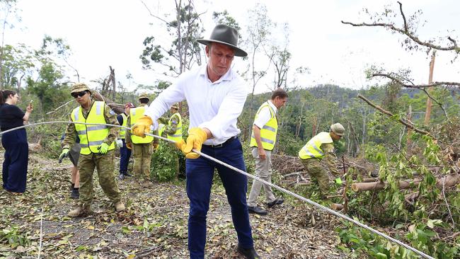
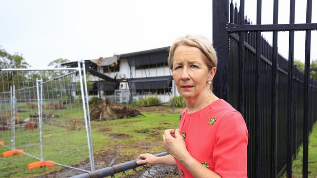
Queensland’s Education Minister Di Farmer said 130 state schools have been damaged by the dual Christmas and New Year’s deluge, with repairs being fast tracked ahead of the first day back.
Minister Farmer, who visited Helensvale State School on the Gold Coast on Monday, said most of the damage took place in the Far North.
The school was one of 35 schools damaged across the states Metro south and southeast regions. A further 95 schools in Far North Queensland suffered damage following Cyclone Jasper.
“While the damaged building at Helensvale State School won’t be available for approximately the first three weeks of the school year, it has sufficient capacity to accommodate all students for the start of school,“ Minister Di Farmer said.
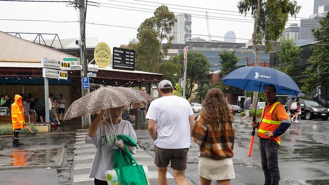
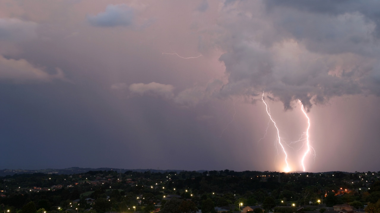
Earlier, Victorians were warned to brace for “extreme” weather to bucket heavy rainfall and cause flash flooding as showers and storms extend to parts of NSW, Queensland, Canberra, South Australia and the Northern Territory.
A low-pressure trough moving across the state through Melbourne to east, northeast, western and northwestern Victoria has prompted the State Emergency Service to advise campers and those living in flood-prone areas to be on alert.
“The amount of moisture across the state at the moment is incredible. It’s what you would normally say in somewhere like Queensland,” Bureau of Meteorology meteorologist Michael Efron said on Saturday.
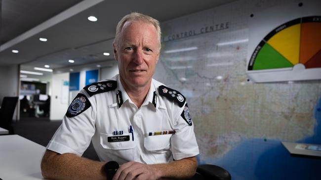
Victorian Emergency Management commissioner Rick Nugent said that, while 150mm of rain was expected to fall across the state in the coming days, this forecast could push upwards of 200mm.
“Over the past few weeks we’ve already had a significant amounts of rain, and many of the rivers, creeks and water catchment areas are quite full. So it’s highly likely that there will be flash floods in flood areas,” he said.
“Falling tree branches and flash floods have the highest risk.”
Mr Nugent pleaded for motorists to avoid driving into floodwaters. “You’re driving a car, not a boat,” he said.
The bureau’s senior meteorologist, Miriam Bradbury, on Sunday said storms could push towards Canberra in the evening and affect other capitals.
“It should be noted that showers and storms are extending through much of the country at the moment including parts of southeast Northern Territory, inland Queensland and through eastern Australia as well,” Ms Bradbury said.
Rain and severe storms are building across parts of eastern Australia, with heavy falls a risk over the coming days. Warnings are current. For the latest forecasts and warnings visit https://t.co/4W35o8iFmh or the BOM Weather app. pic.twitter.com/IgKtRVPtvO
— Bureau of Meteorology, Australia (@BOM_au) January 7, 2024
“By Tuesday we’ll really start to see that contracting towards the east coast. This is good news and bad news. It’s good news because western NSW, western Victoria, Melbourne and South Australia are all in for much clearer weather by Tuesday.
“But that’s when the risk is really increasing for places like Sydney, the Illawarra, even pushing towards southeast Queensland as well.”
She said heavy rainfall were forecast to ease in Sydney and Brisbane on Friday, with the possibility of coastal showers through the weekend.
A severe weather warning for heavy, locally intense rainfall has been issued South West Slopes, Riverina, Snowy Mountains, Southern Tablelands and Central West Slopes and Plains Forecast Districts in NSW.
A similar alert is also in place for northeast and parts of the northern country, north-central and East Gippsland districts in Victoria, with an additional five flood watch warnings.
In Queensland, there are two minor flood warnings in place for parts of the Dawson River, Capricornia and the southeast coast and two severe thunderstorm warnings in South Australia.
The Northern Territory’s Tiwi District, Queensland’s Peninsula District and WA’s Kimberley, Pilbara and North Interior Districts were issued with heatwave warnings.
More Coverage


Add your comment to this story

Firefighters waiting to negotiate before pay deal expires
Queensland’s firefighters’ union is yet to be given the green light from the Crisafulli government to begin enterprise bargaining negotiations, despite their deal being set to expire in two weeks.

Unions and business vie for seat at the table
Jim Chalmers faces a growing list of business and union figures vying for an invitation to his productivity roundtable.
To join the conversation, please log in. Don't have an account? Register
Join the conversation, you are commenting as Logout