Deluge welcome but bushfire zones still on high alert
Heavy rain and flash flooding have failed to stem the bushfire crisis ahead of a spike in extreme weather in coming days.
Heavy rain and flash flooding have failed to stem the bushfire crisis ahead of a forecast spike in extreme weather in coming days.
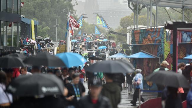
The eastern suburbs of Melbourne copped the brunt of a downpour on Monday afternoon, causing flash flooding in the outer eastern suburb of Pakenham.
Fire-ravaged communities in Victoria’s East Gippsland and the state’s northeast received consistent rain throughout the day, and were also bracing for potential flash flooding after the Bureau of Meteorology issued a warning over the wild weather.
BOM senior forecaster Kevin Parkyn said the neighbouring East Gippsland towns of Omeo and Ensay, which have been hit hard by bushfires, received 47mm of rain on Sunday and a further 5 to 10mm on Monday.
“It’s not unusual for this time of year to expect thunderstorms but this on the back of quite a significant fire season,” he said.
“We not only have risks in areas where we have firefighters and communities that have been engulfed by fire but also in metropolitan Melbourne and regional Victoria,” he said. “Some of these severe storms have produced flash flooding, damaging wind gusts and giant hailstones.”
The Great Alpine Road was closed between Ensay and Bruthen after heavy rains washed fire debris on to the tourist road.
However the return of warmer weather, coupled with damaging winds on Wednesday, is expected to elevate the bushfire risk, pushing fire danger into the severe and extreme ranges again.
Recent Victorian bushfires have killed five men, razed more than 1.5 million hectares and destroyed about 400 homes as well as more than 600 outbuildings.
In NSW, there were 69 fires still burning with 20 yet-to-be-contained.
NSW Rural Fire Service spokesman James Morris said 1100 firefighters were working tirelessly to slow the spread of the blazes and build containment lines before strong winds and dry lightning returned danger to the state on Thursday.
“We are preparing for fire conditions to increase over the next three or four days as storms forming in southern parts of the state increase the chance of dry lightning sparking new fires,” he said.
“Thursday will be our busiest day this week as winds and temperatures across a wide area of NSW are predicted to rise.”
Despite 35mm of rain falling overnight in the Snowy Mountains, Mr Morris said fire agencies needed a lot more in their battle against the fires that have so far claimed the lives of 21 people.
Kangaroo Island remains the biggest concern in South Australia with gusts forecast for Wednesday as firefighters struggle to contain fires that have burnt half the island. “A large number of our resources are at Kangaroo Island as the fires there are yet to be contained,” Country Fire Service media officer Alison Martin said.
“Wednesday is the main day of concern at this stage, but high temps are expected to remain on Thursday and Friday.” Ms Martin said storms were moving across the northeast of South Australia, and possible storms were forming in the far south.
Add your comment to this story

Push for welfare debt time cap
The Albanese government accepted all recommendations made by Robodebt commissioner Catherine Holmes but has yet to legislate a cap that would prevent raising of decades-old debts.

Latham’s ex breaks silence: my fears over sex tape leaks
In an emotional interview, Nathalie Matthews speaks for the first time since accusing Mark Latham of domestic abuse.
To join the conversation, please log in. Don't have an account? Register
Join the conversation, you are commenting as Logout