Sky-high bushfires creating thunderstorms of their own
Thunderstorms generated by bushfires are becoming an increasing feature of our worst conflagrations - and a nightmare scenario.

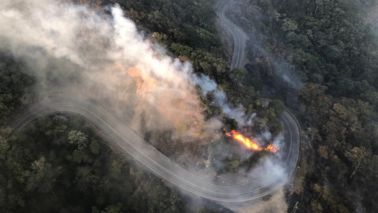
As fires razed NSW’s parched landscape on Sunday, one stood out. The Sir Ivan fire, east of Dunedoo in the state’s central west, gave birth to its own thunderstorm.
In late afternoon the smoke plume, which had reached an estimated 4.5km altitude for most of the day, suddenly speared a further 7km or more into the upper troposphere. Moisture trapped in the smoke condensed in the cold upper air, producing an ominous cloud which generated scores of lightning bolts — some suspected to have sparked two separate fires about 100km to the east.
The storm whipped the already blustery conditions into a frenzy, creating gusts measured at about 80km/h and possibly as high as 110km/h.

It was a nightmare scenario for firefighters as the fire-generated thunderstorm — or “pyro-cumulonimbus” cloud — spawned the sort of ferocity that all but wiped the small community of Uarbry off the map.
This is the new reality confronting Australia’s fire authorities. Pyro-cumulonimbus clouds, long associated with volcanic eruptions and more recently nuclear explosions, have increasingly become a feature of bushfires. Fire-generated storms were also involved in the 2013 Warrumbungles fire in NSW, Victoria’s Black Saturday bushfires of 2009 and the Canberra inferno of 2003.
These rank among Australia’s worst fires. The Warrumbungles fire claimed more than 50 homes, while the Canberra disaster took about 10 times as many properties and four lives. Black Saturday, considered Australia’s worst bushfire catastrophe, killed 173 people and destroyed more than 2000 homes.

On Black Saturday, the extra wind strength generated by the “pyroconvective” conditions blew embers 30km ahead of the fire fronts.
The cloud above the Canberra fire generated a tornado strong enough to lift cars. Researchers speculate it may have intercepted high-altitude jet streams, dragging dry air to the ground and inflaming fire behaviour.
Jason Sharples, a bushfire researcher with the Australian Defence Force Academy in Canberra, said pyro-cumulonimbus clouds were likely to become more frequent. But researchers are unsure why they develop above some fires, but not others. “Our understanding of how these things form is still incomplete,” he said. “But we know it takes a lot more beyond the normal hot, dry and windy conditions.”
One precondition is a source of moisture, such as the cold front that moved through the Dunedoo area on Sunday. Dr Sharples said instability in the atmosphere, which allowed the cloud to rise more easily, also appeared to play a role.
More Coverage

Add your comment to this story
Residents ordered to flee for their lives
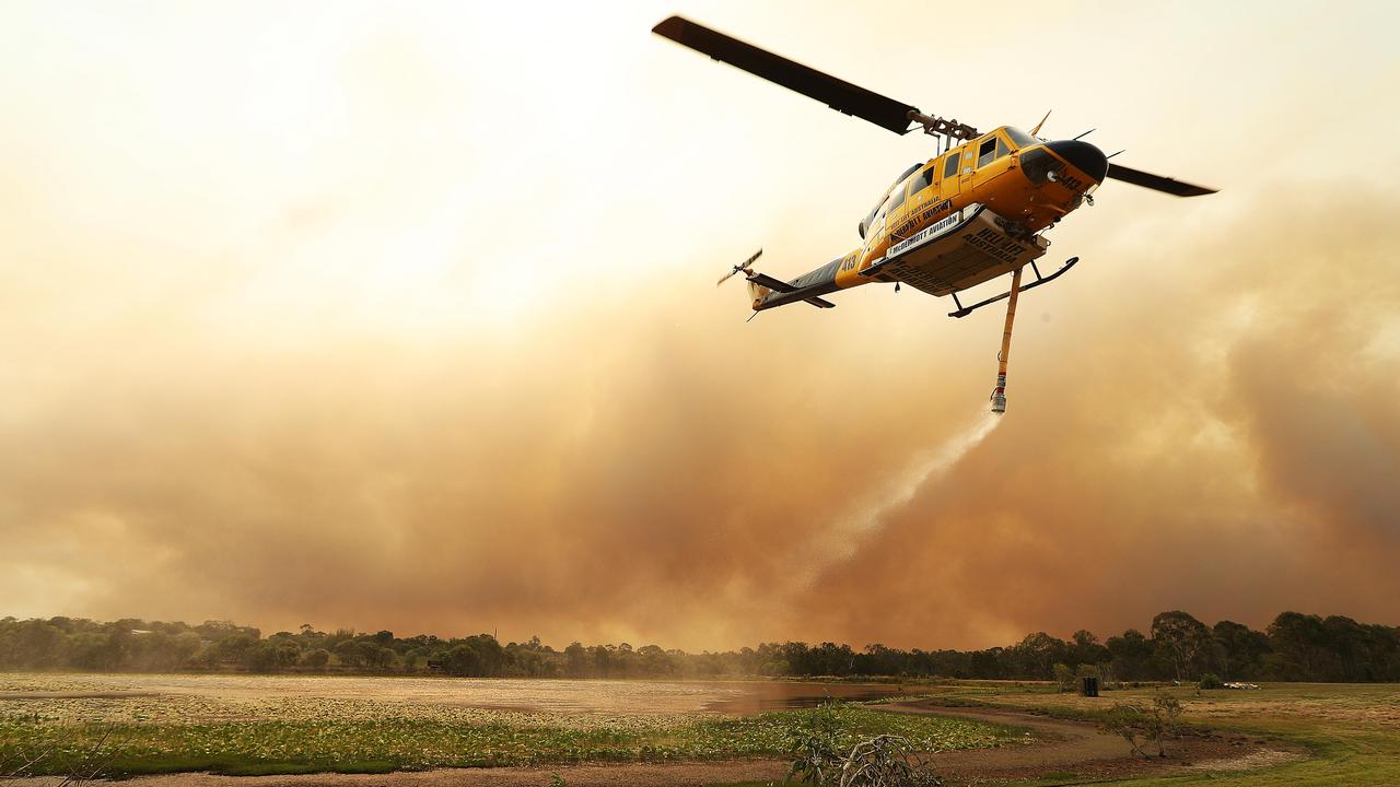
Another community was last night ordered to evacuate as the battle to contain Queensland’s fires spread to the Darling Downs.
Painful wait to assess fire damage
Residents forcefully evacuated from Deepwater in Queensland face an anxious wait before returning to see if homes have survived.
To join the conversation, please log in. Don't have an account? Register
Join the conversation, you are commenting as Logout