Residents live in fear of the Santa Ana desert winds, which are fast-moving, dry and extremely warm – conditions that can turn a tiny spark into a raging blaze. So how do they form, and how are they affecting the fires in the Los Angeles region? Here is everything you need to know.
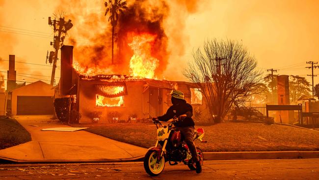
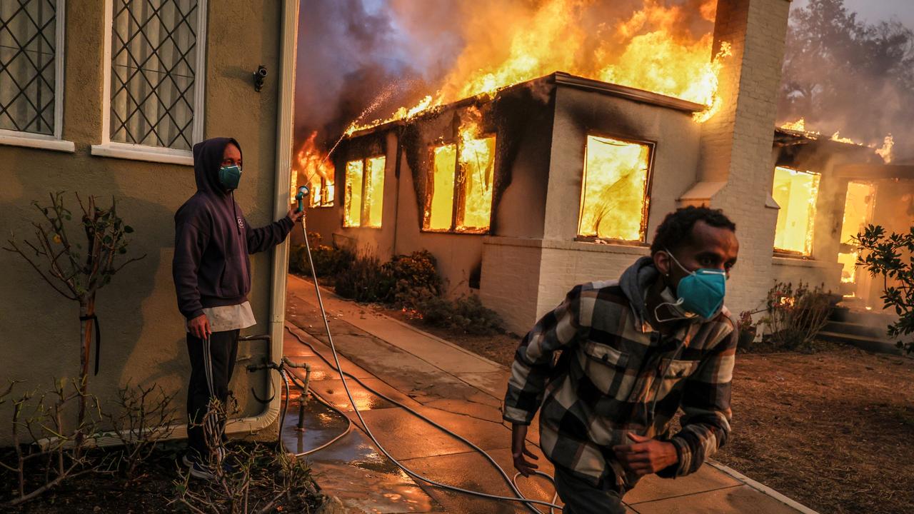
The devastating fires that have killed at least five people and forced the evacuations of tens of thousands of residents across the Los Angeles region are driven by Santa Ana winds that blow from the deserts of interior California and Nevada out to the Pacific Ocean.
Santa Ana winds are feared by Californians because they are fast-moving, dry and extremely warm – conditions that can turn a tiny spark into a raging blaze that is difficult for firefighters to control.
The Palisades Fire ravages a neighbourhood amid high winds in the Pacific Palisades. Picture: AP Photo/Ethan Swope
How do Santa Anas form?
These winds occur in the fall and winter when a high-pressure system develops in the Great Basin of the interior West at the same time that a low-pressure system sets up just off the Pacific. The difference in pressure creates the winds.
Santa Anas, as the winds are known locally, move in the opposite direction of the normal onshore flow that carries cool, moist air from the Pacific Ocean into the region.
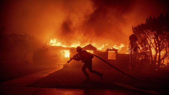
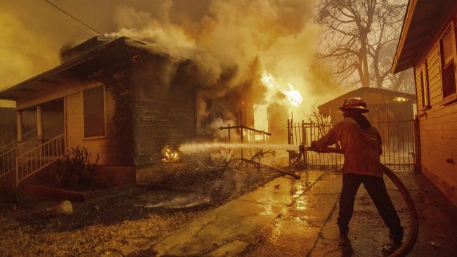
A firefighter battles the Palisades Fire as it burns a structure in the Pacific Palisades. Picture; AP Photo/Ethan Swope
What causes the wind speed?
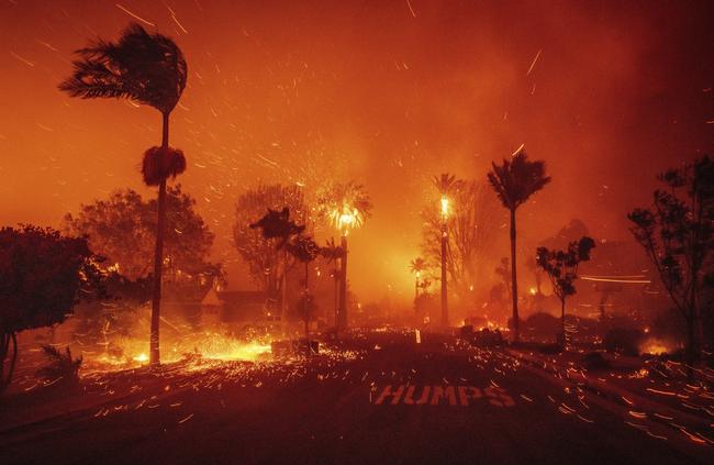
They can blow for days.
Santa Anas heat up, lose moisture and pick up speed as they are squeezed through the narrow canyons and valleys of Southern California.
Gusts reached 161km/h in the San Gabriel Mountains at 8am on Wednesday, local time, according to the National Weather Service, with winds from 64km/h to 160km/h recorded throughout the region on Tuesday night and Wednesday morning.
Winds gusts up to 96km/h are expected to continue through Thursday, according to California Department of Forestry and Fire Protection, or CalFire, the state’s wildfire agency.
In comparison, a Category 1 hurricane is declared when winds reach 119km/h, while a Category 2 is declared at 154km/h.
Why are conditions worse now?
In a normal year, Santa Ana winds can blow from October through May, according to Alex Hall, director of the Institute of Environment and Sustainability at the University of California, Los Angeles.
When the ground and vegetation is wet, the fire risk is low.
These Santa Anas arrived on the heels of two extremely rainy years that spurred the growth of brush and grasses.
Southern California then experienced a particularly hot summer in 2024, followed by almost no rain during the wet season, which began in October.
Those dried-out plants are now serving as fuel for wildfires.
“What’s different this year is that we haven’t had our first significant rain event, and there’s none in the forecast,” Hall said.
When the Santa Ana winds blow during drought conditions, Hall said, there is extreme risk of wildfire.
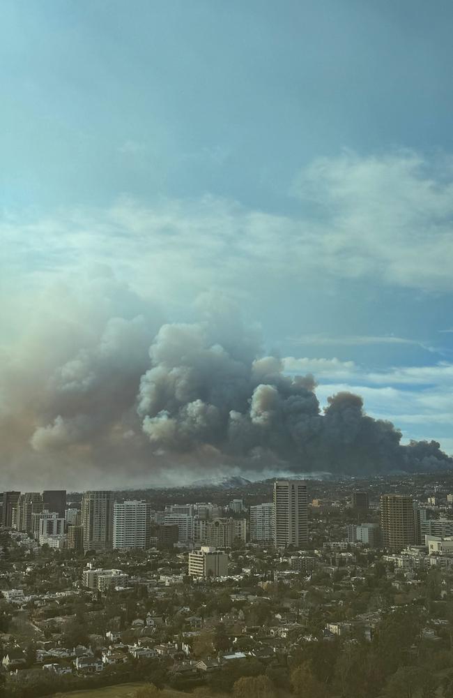
Where are the fires?
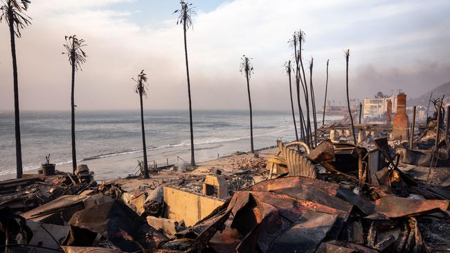
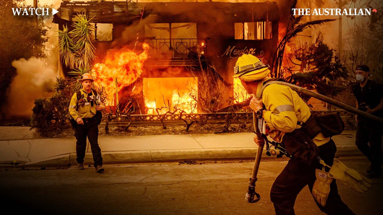
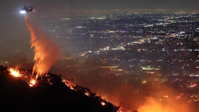
From Tuesday night into Wednesday, Santa Anas fed a fast-moving fire that spread across nearly 1215 hectares in the Pacific Palisades neighbourhood, the Los Angeles Fire Department reported.
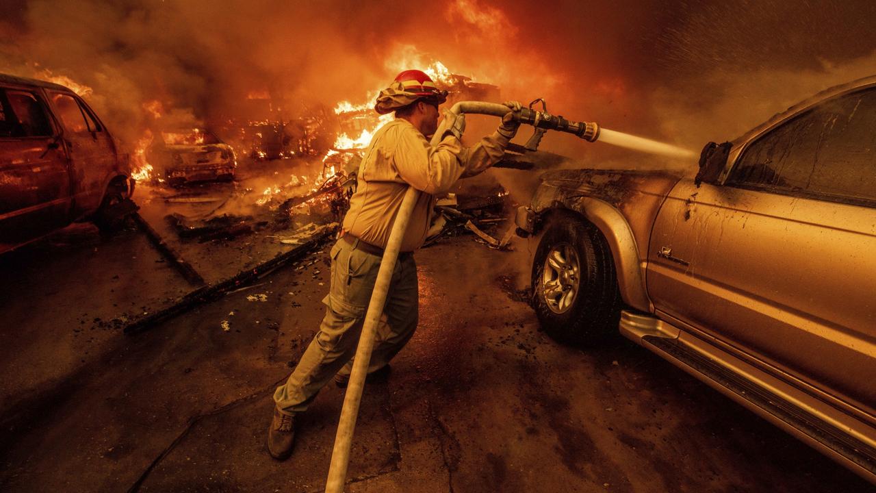
Fire also spread to more than 800 hectares in the San Gabriel Mountains north of Los Angeles, according to the California Department of Forestry and Fire Protection, and the fast-moving Eaton fire near Pasadena that has burned 4289 hectares as of midday on Wednesday.
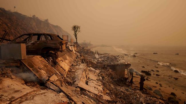
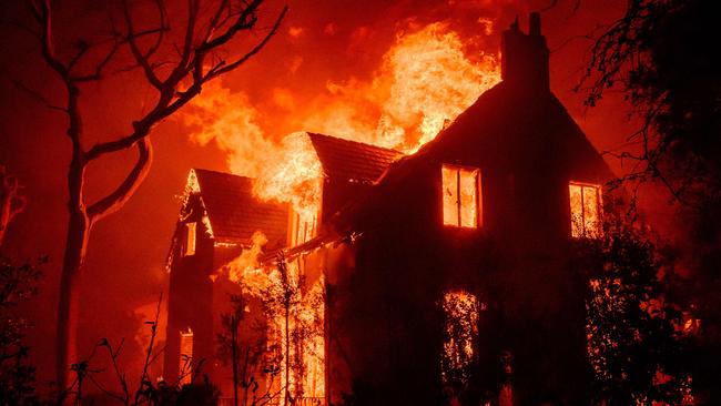
Officials reported Wednesday morning that more than 1000 homes and other buildings have been destroyed.
-Wall Street Journal
Add your comment to this story
To join the conversation, please log in. Don't have an account? Register
Join the conversation, you are commenting as Logout