Floods break records in Kimberley Region as Ex-Tropical Cyclone Ellie wreaks havoc
Three states have been hit by freak storms with hundreds of thousands of lightning strikes and giant hail as others battle record floods.
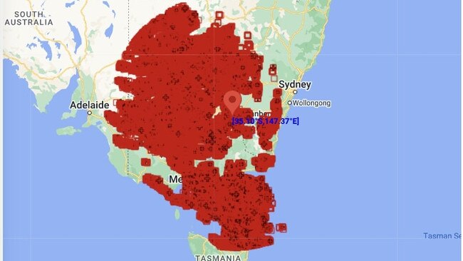
Over one million lightning strikes were recorded during a widespread storm event that took place across two states this week.
Victoria and NSW were hit by huge thunderstorms as a cold front spread from the northwest of the country all the way to the southeast on Monday.
It was then that 1,023,173 lightning strikes were recorded within 700km of Wagga Wagga from the early morning through to the late evening according to Weatherzone.

Many of the storms were accompanied by large hail and damaging winds, with the largest windgust of 96 km/h recorded in Wilcannia in western NSW.
The wild weather in NSW and Victoria comes as record-breaking floods have inundated the Kimberley Region in Western Australia as flood warnings remain in place in almost every state.
Here is what the weather is looking like in each state.
WA
Floodwaters have inundated the homes of around 1,200 Fitzroy Crossing residents with residents being flown to Broome.
The Fitzroy River is expected to peak at 15.7m – exceeding flood records by almost 2 metres.
Fire and emergency services commissioner Darren Klemm called it “a one-in-100 year” flood event and an urgent evacuation order has been issued for residents of Willare and Noonkanbah to get to higher ground
The Albanese government has approved a request for Australian Defence Force aircraft and personnel to help evacuate residents from Fitzroy Crossing and nearby areas.
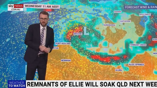
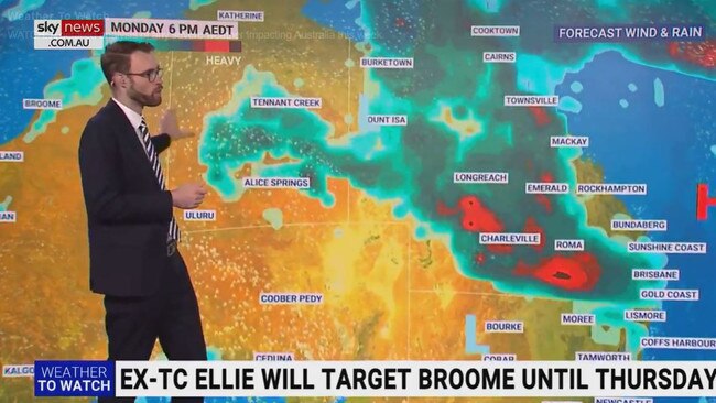
Ex-Tropical Cyclone Ellie continues to wreck havoc east of Broome with heavy rain totals forecast for the region into Thursday.
Up to 200mm are likely to fall in 24 hours.
“People in the north of WA experience these types of weather conditions at this time of year but the extended nature of this event and associated flooding is unusual and dangerous,” a spokesman for the Bureau of Meteorology said.
Locations which may be affected include Broome, Derby, Cape Leveque, Cockatoo Island, Fitzroy Crossing and Kuri Bay.
In the Dampier Peninsula, up to 250mm could fall in the next 24 hours.
Damaging winds are averaging speeds of up to 70km/h with peak gust of around 100km/h occurring at Cape Leveque including Broome until late Thursday morning.
Ex-Tropical Cyclone Ellie is expected to finally move steadily to the east on Friday.
VIC
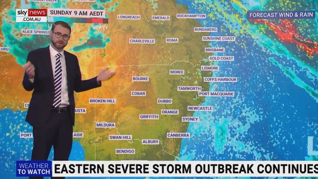
Upstream floodwaters are prolonging flooding along the Murray River which are expected to stick around until mid-to-late January.
A moderate flood warning is in place at Mildura and Wentworth.
Minor flooding is occurring at Wakool Junction, Boundary Bend and Euston.
Edward River at Moulamein fell below the minor flood level of 4.6m on Tuesday morning and is currently falling.
NSW
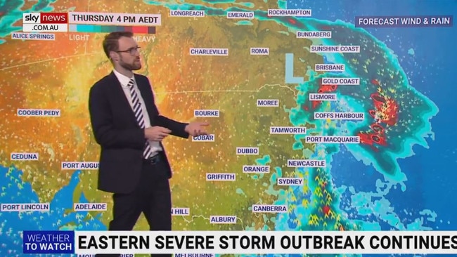
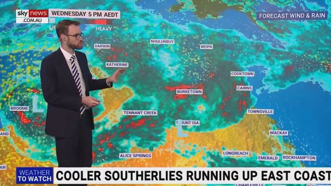
A moist unstable air mass has triggered severe thunderstorms on Wednesday afternoon across parts of NSW.
As of 2.30pm, the Bureau of Meteorology warns that severe thunderstorms were detected on the weather radar near Bilpin, Colo Heights and Badgerys Creek.
These thunderstorms are moving towards the south and are forecast to affect Camden, Campbelltown and Picton by 3:00pm and Richmond Penrith and Appin by 3:30pm.
Damaging winds, large hailstones and heavy rainfall may lead to flash flooding in Grafton, Penrith, Katoomba, Tamworth, Gunnedah and Tambar Springs.
Major flooding is occurring at Menindee, where river levels are currently steady near 10.20 metres.
A further river rise could bring the flood level to 10.7m – above the 1976 flood record of 10.47 metres.
A moderate flood warning remains in place along the Lachlan River at Hillston and the lower Murrumbidgee River at Balranald.
Minor flooding continues at Booligal.
Upstream flood waters are causing prolonged flooding along the Murray River.
SA
Ten flood warnings remain in place in South Australia after they were issued last Friday.
Despite this the weather has cleared over Adelaide where cloudy but warm conditions will stick around to the end of the week.
The sun is expected to come out by Friday, when temperatures in the high thirties stay for the weekend.
TAS
Cloudy conditions are constant in the southern state for the rest of the week.
However, Hobart will remain relatively dry with temperatures around temperatures in the high teens.
ACT
Severe thunderstorms were detected on the weather radar near Bilpin, Colo Heights and Badgerys Creek.
Damaging winds, large hailstones and heavy rainfall are expected and may lead to flash flooding are likely.
QLD
Queensland is experiencing a drenching this week as the remnants of Ex-Tropical Cyclone Ellie cover most of the state.
It has brought flooding to multiple regions including major flooding on the Georgina River and moderate flooding on the Flinders River.
Minor flood warnings are in place in the Norman Rivers, Gilbert River, Nicholson River, Leichhardt River, Upper Herbert River and the Diamantina River.
A severe thunderstorms has benne issued for the Southern Coast district on Wednesday afternoon.
It is likely to produce damaging winds, large hailstones and heavy rainfall that may lead to flash flooding over the next several hours.
Locations which may be affected include Beaudesert, Boonah and Springbrook.
NT
The Northern Territory is still covered in a massive band of rain left behind by Ex-Tropical Cyclone.
It’s a wet and steamy day in Darwin on Wednesday, with up to 35mm of rain expected to fall on the northern capital.
Another 25mm is expected to fall each day until the weekend when the rain is expected to ease.

Shape or be shaped: What’s driving Albo’s agenda
Fresh off a high-stakes state visit to China, Anthony Albanese has revealed a big reason behind why he made the lengthy trip.

‘Tough’: Ley speaks out about mum’s death
Opposition leader Sussan Ley has opened up about her mother’s death as the Liberal Party prepare for parliament to resume after their election smashing.