NSW braces for gale-force winds, torrential rains from coastal low
By Kayla Olaya
Read the latest update on Sydney weather here.
Sydney will be lashed by gale-force winds, torrential rains and rough surf when a powerful storm hits the country’s east coast later this week, bringing severe weather to both the NSW and Victorian coastlines.
The low-pressure system is expected to start brewing off Queensland’s south-east coast before rapidly intensifying on Monday and barrelling south towards Sydney, the Bureau of Meteorology has warned.

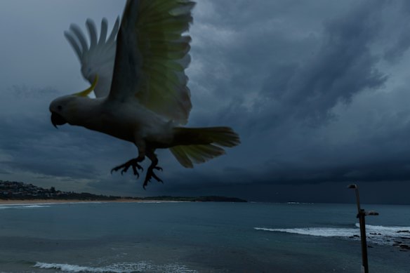
Sydney could be hit by an east coast low – the first in three years.Credit: Max Mason-Hubers
The worst of weather is expected on Tuesday and Wednesday, before easing off on Thursday.
Sydney, the Hunter, Illawarra and South Coast could experience flooding, with rain of up to 200 millimetres over 48 hours forecast, senior meteorologist Angus Hines said.
“It is definitely a pretty nasty few days of weather ahead through the middle of this week, and it will take a little while to get going,” Hines said.
“On Monday, we’ll see the wind picking up and probably a few showers through the evening. But Tuesday’s the day when it is really going to deteriorate, and it’s going to be very wet and very windy, so the rain will likely last through much of the day.
“We will see the winds absolutely howling up that NSW coast ... we could certainly see those gusts upwards of 80, 90, even 100 kilometres per hour around parts of the Sydney Metro area on Tuesday – that’s definitely enough to cause a bit of damage, bring down some trees. We could be talking about power outages as well.”
The weather bureau will decide on Sunday night if the storm will be classed as an east coast low – a rare weather event which last hit Sydney three years ago.
East coast lows typically intensify rapidly over the course of 12 to 24 hours, and are one of the more dangerous weather systems to impact the eastern seaboard.
For the weather system that will hit Sydney on Tuesday to be upgraded to an east coast low, it must meet certain criteria, including where it forms, how long it lingers, its pressure gradient, if it has a closed circulation and is associated with severe weather.
The SES urged communities along the east coast to prepare for the wild weather.
“People should prepare now by tying down any loose items around their homes so they don’t become projectiles and damage property in the forecast wind,” SES Acting Assistant Commissioner Allison Flaxman said.
These weather systems also occur off the coasts of Africa and America – where they are often referred to as east coast cyclones, according to the weather bureau.
Regular coastal lows occur several times each year along the east coast, particularly in southern Queensland, NSW and eastern Victoria, mostly throughout June and in autumn and winter months.
Start the day with a summary of the day’s most important and interesting stories, analysis and insights. Sign up for our Morning Edition newsletter.