This was published 6 years ago
Temperatures still rising as heatwave peaks after record-breaking night
By Rachel Clun & Jenny Noyes
Temperatures have soared past 46 degrees in north-western NSW on Friday after a sweltering night during which the all-time Australian record for the highest minimum temperature was broken – twice.
As the state sweats through the peak of the week-long heatwave, scorching Friday temperatures have continued to rise into the evening ahead of a cool change expected to sweep through on Saturday morning.

The record for hottest overnight temperature was broken overnight.Credit: John Veage
The mercury in Penrith hit its peak of 42 at 5.30pm on Friday, and by 6pm remained above 41.
In the city, where a sea breeze kept things cooler throughout the day, it climbed to a top of 29 in the late afternoon.
Sydney residents will toss through another hot night of mid-20s temperatures before the southerly change comes finally through between 7am and 9am on Saturday morning, Bureau of Meterology forecaster Ash Lange said.

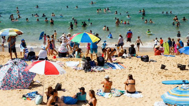
Beachgoers flock to Newcastle's Bar Beach on Friday morning. Credit: Max Mason-Hubers
"There is a chance out west that we’ll see a shower or storm tonight but it’s not going to cool down significantly until the southerly comes through in the morning," she said.
The southerly change will bring strong winds, low cloud, and somewhat cooler temperatures for Saturday. While the city won't see much of a change at a top of 28 degrees, the west will see a 10-degree drop with a maximum of 32 forecast for Penrith.
The relief will not only be mild, but short-lived, with Sydney temperatures back above 30 by Tuesday. By Friday, the forecast is 34 in the city and 41 in the west.
Thursday night hottest on record
Friday's heat followed a record-breaking night in the west of the state. Weather stations at Noona, west of Dubbo, and Borrona Downs, west of Bourke, recorded overnight minimum temperatures of 35.9 degrees and 35.6 degrees respectively.
The NSW stations both broke the record set by a remote South Australian station almost 40 years ago, Bureau of Meteorology forecaster David Wilke said on Friday.

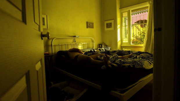
Overnight temperatures are forecast to stay in the low 20s across most of Sydney, making it hard to sleep.Credit: Christopher Pearce
"The previous record for highest minimum temperature is 35.5, set on the 24th of January, 1982, at Arkaroola in South Australia, and that was equalled in 2003 in a place called Wittenoon in Western Australia on the 21st of January," he said.
Mr Wilke said that, as well as breaking national records, a number of stations broke their own records for the hottest overnight temperatures, including Tibooburra Airport, Cobar Airport and Coonabarabran Airport.
Locals at Cobar said the heat was taking a toll on workers, and power bills, as people struggled to keep cool.
A kitchen thermometer at Cobar's Empire Hotel had repeatedly reached 50 degrees on Friday, according to bar attendant Britney-Lee Fazulla.
"It's very difficult but we push through," she said.
The 19-year-old, who has lived in Cobar all her life, said it was the worst heatwave she's experienced.
Cobar also recorded its highest ever minimum temperature overnight of 33.2C.
Minimum overnight temperatures would be slightly cooler over the next couple of nights, with minimums expected to hit the low 20s on Saturday, Mr Wilke said.
In Sydney, Penrith reached 41.6 while an earlier than expected sea breeze capped temperatures in the CBD at 29.4.
Thanks to a trough moving across the state, temperatures in Sydney on Saturday will drop to 29 degrees in the city and 33 degrees in Penrith - a change of 13 degrees from Friday's forecast high of 45 in the west, Mr Wilke said.
But while the trough is bringing thunderstorms, it's not bringing a strong change, so temperatures would climb again into next week, he said.
"The main problem is we don’t see the humidity really clearing out significantly.
"We’ll see this relief from the heat in the next couple of days, particularly for the south-east, but the heat will continue building next week."
Fire ban, severe fire warning issued
The heat, combined with strong north-easterly winds on Friday have prompted the bureau to issue a fire weather warning for parts of the state on Friday.
The Rural Fire Service has also issued total fire bans for 13 areas.
"Thunderstorms are happening across parts of southern NSW, bringing the risk of current fires being whipped up and the potential for lightning to start new ones," the RFS tweeted on Friday afternoon.
Severe fire danger was forecast for the Southern Ranges and Southern Slopes regions, and a very high fire danger for areas around Canberra and the Illawarra and Shoalhaven areas.
The total fire bans were in places including the Illawarra and Shoalhaven, the greater Hunter area, and areas around Canberra.
with AAP