
Cold front blast east coast bringing up to 80cm snow dump in one state
Alpine conditions have been dampened by rainy weather but a blast of cold fronts spells good news for snow enthusiasts.
Environment
Don't miss out on the headlines from Environment. Followed categories will be added to My News.
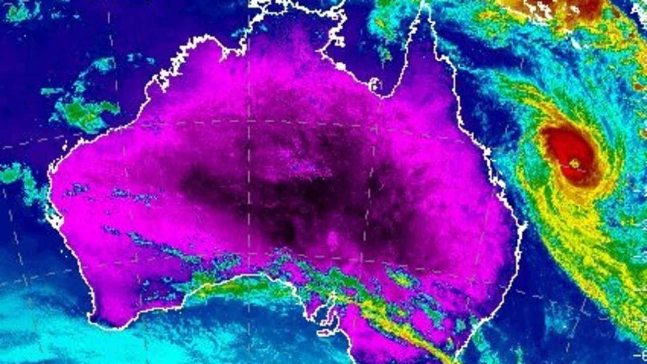
A series of cold fronts are forecast to blast the east coast bringing a massive snow dump to the Alpine regions.
The cooler conditions which are set to arrive on Thursday will be a welcome change after a rare spotting of rain over NSW and the ACT earlier in the week.
“A series of vigorous cold fronts will sweep across the southeast, generating heavy snowfalls with totals at higher elevations likely to exceed 50 centimetres by Monday,” Weatherzone said in a statement.
NSW
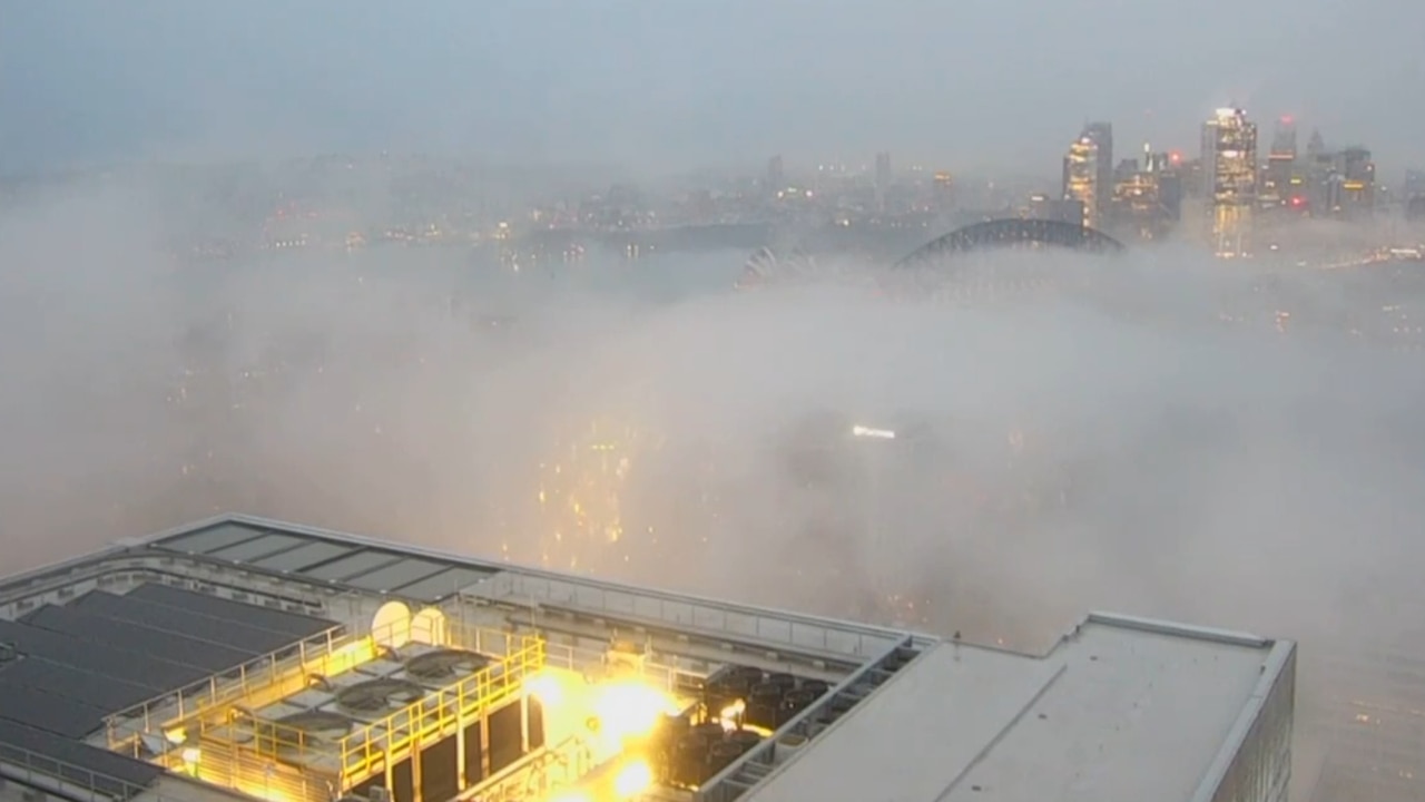
Sydney residents have woken to a blanket of fog over the city for the second day running.
Photographs taken of the skyline show buildings disappearing beneath the cloud on Wednesday morning.
“Fog in Sydney rn looks like someone put a blanket over the whole city,” a local tweeted.
fog in sydney rn looks like someone put a blanket over the whole city
— 🌈 (@mynameistayIa) July 4, 2023

A snowstorm is forecast to blast the Alpine regions by Thursday, with up to 80cm of snow set to fall in the following days, Perisher ski resort reported on their website.
Rain will persist throughout Wednesday with limited visibility making for less than ideal snow sport conditions.
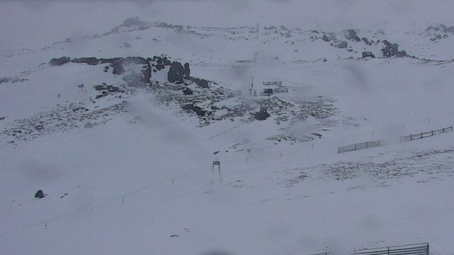
However, a dumping of fresh snow will set weekend skiers and snowboarders up for a bumper powder weekend.
ACT
A chilly week is ahead for residents of Canberra with daytime temperatures dropping to a maximum of 13c.
An icy morning with a low of 1C is expected on Thursday.
The cold fronts sweeping across the east coast will bring with them gusty winds of about 25km/h.
The most powerful winds will arrive over the weekend with up to 40km/h gusts.
Victoria
A rainy and cold week ahead is forecast for residents of Melbourne with daytime temperatures unlikely to exceed 15C for the next seven days.
Persistent showers and wind will remain consistent in the coming days, with gusts of up to 45 km/h expected on Thursday.
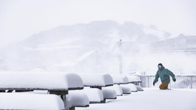
Snow is forecast to fall over Mt Hotham ski resort on Wednesday evening setting the resort up for powder conditions over the weekend.
Originally published as Cold front blast east coast bringing up to 80cm snow dump in one state
Scorching heatwave to smash Aussie region
The bureau of meteorology warns a heatwave will hit vast stretches of Australia over the weekend, including a key mining district.
Hidden detail as mega cyclone misses Aus
Queenslanders are being urged to steer clear of the coast this weekend as Severe Tropical Cyclone Alfred brings powerful waves.