
’Severe’ afternoon storms to hit Sydney and NSW east coast
Residents on the east coast of NSW are bracing for a repeat of Monday’s intense weather as a low pressure trough is set to cause further chaos this afternoon. More details.
NSW
Don't miss out on the headlines from NSW. Followed categories will be added to My News.
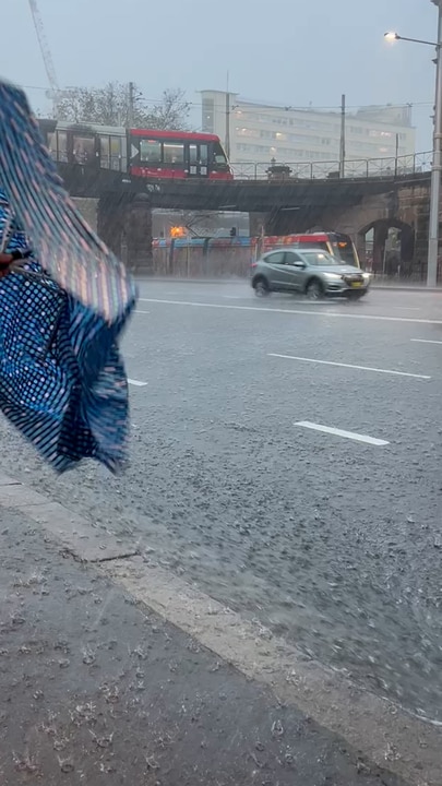
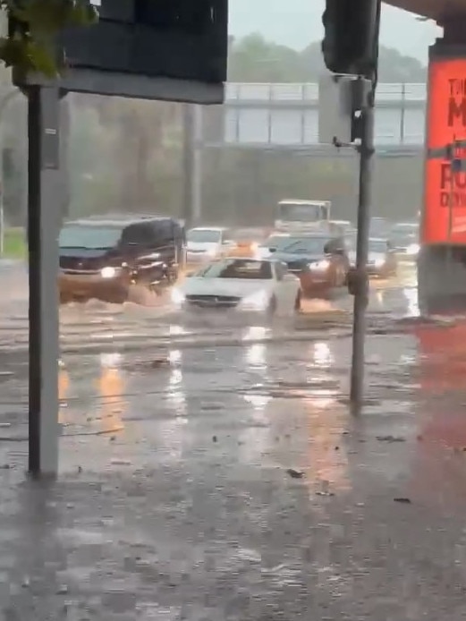
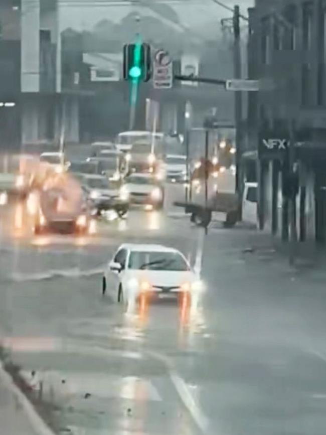
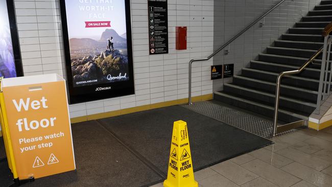
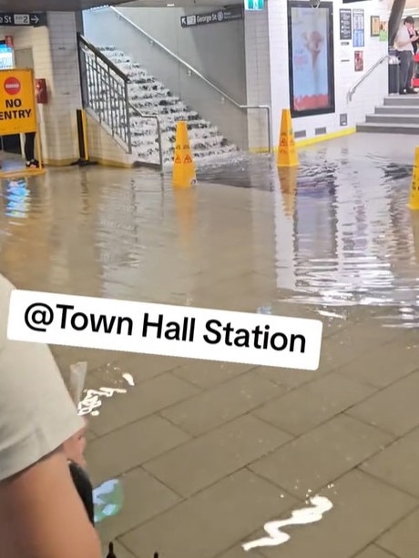
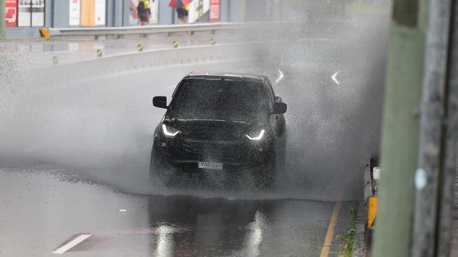
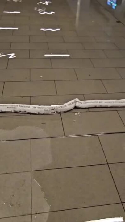
There are fears for more severe weather this afternoon following a destructive early afternoon thunderstorm on Monday which caused localised flooding inundating roads and train stations.
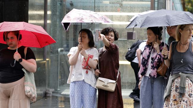
A mostly hot and stormy day is forecast for greater Sydney (28C), Newcastle (27C), Wollongong (25C), Coffs Harbour (29C), Tamworth (31C) and Byron Bay (29C).
Bureau meteorologist Miriam Bradbury the conditions are the result of a ‘stagnant’ low pressure trough encompassing NSW’s east coast and described Tuesday’s thunderstorm risk as ‘significant’.
“Severe storms are once again possible across much of the east,” Ms Bradbury said.
“Heavy rainfall, damaging winds and large hail will all continue to be a risk.”
The ‘focus’ area of the trough is concentrated over southeast NSW and it is expected to start moving towards the state’s northeast on Wednesday.
Winds are expected to reach 20km/h in the afternoon but will ease by the evening.
The NSW State Emergency Service was kept busy on Monday, rescuing more than 20 people from floodwaters.
They had earlier issued a stay at home warning for much of Sydney.
Crews attended 688 incidents throughout the day, including 380 in the Sydney metropolitan area in a half-hour period.
Since this severe weather event began, the NSW SES has been responding to 768 reported incidents including 22 flood rescues 🚤
— NSW SES (@NSWSES) February 10, 2025
All warnings across NSW have now been cancelled, however, this afternoon more unsettled weather is predicted. Keep an eye out for any warnings. pic.twitter.com/HaYo3Wi2AP
In Sydney, cars were washed away in the inner west, while some flights were diverted from landing at Sydney Airport.
Horsley Park recorded 88.2mm in the rain gauge and more than 53mm fell at Observatory Hill.
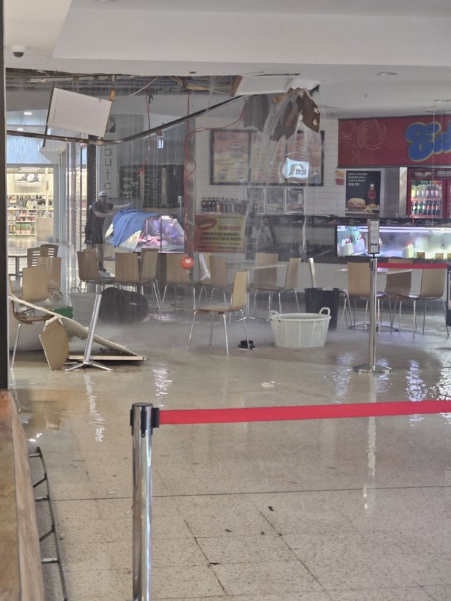
Readings of 36.8mm and 31.6mm were recorded at Sydney Olympic Park and Terrey Hills and in Taree the Manning Mall ceiling gave way after more than 50mm rain fell in a half-hour period.
Do you have a story for The Daily Telegraph? Message 0481 056 618 or email tips@dailytelegraph.com.au
More Coverage

Originally published as ’Severe’ afternoon storms to hit Sydney and NSW east coast

Mum, daughter’s stark ovarian cancer warning after double diagnosis
A Northern Rivers nursing lecturer was “shocked” after being handed a bleak ovarian cancer diagnosis — Australia’s deadliest female cancer. Then her mother was hit by a diagnosis too.

What is the date? How can I vote? 2025 federal election explained
With the end of the three-year federal government term rapidly approaching, Prime Minister Anthony Albanese could call an election any day now. EVERYTHING YOU NEED TO KNOW