
More wild weather forecast after thunderstorm batters Top End
Thunder and lightning have swept across the Top End in the first electrical storm to hit Darwin this season. Find out who got the rain.

Weather
Don't miss out on the headlines from Weather. Followed categories will be added to My News.
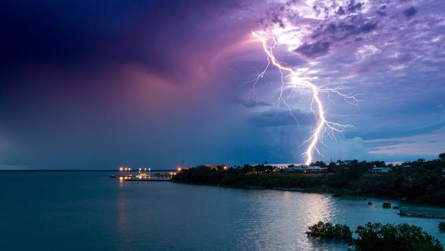
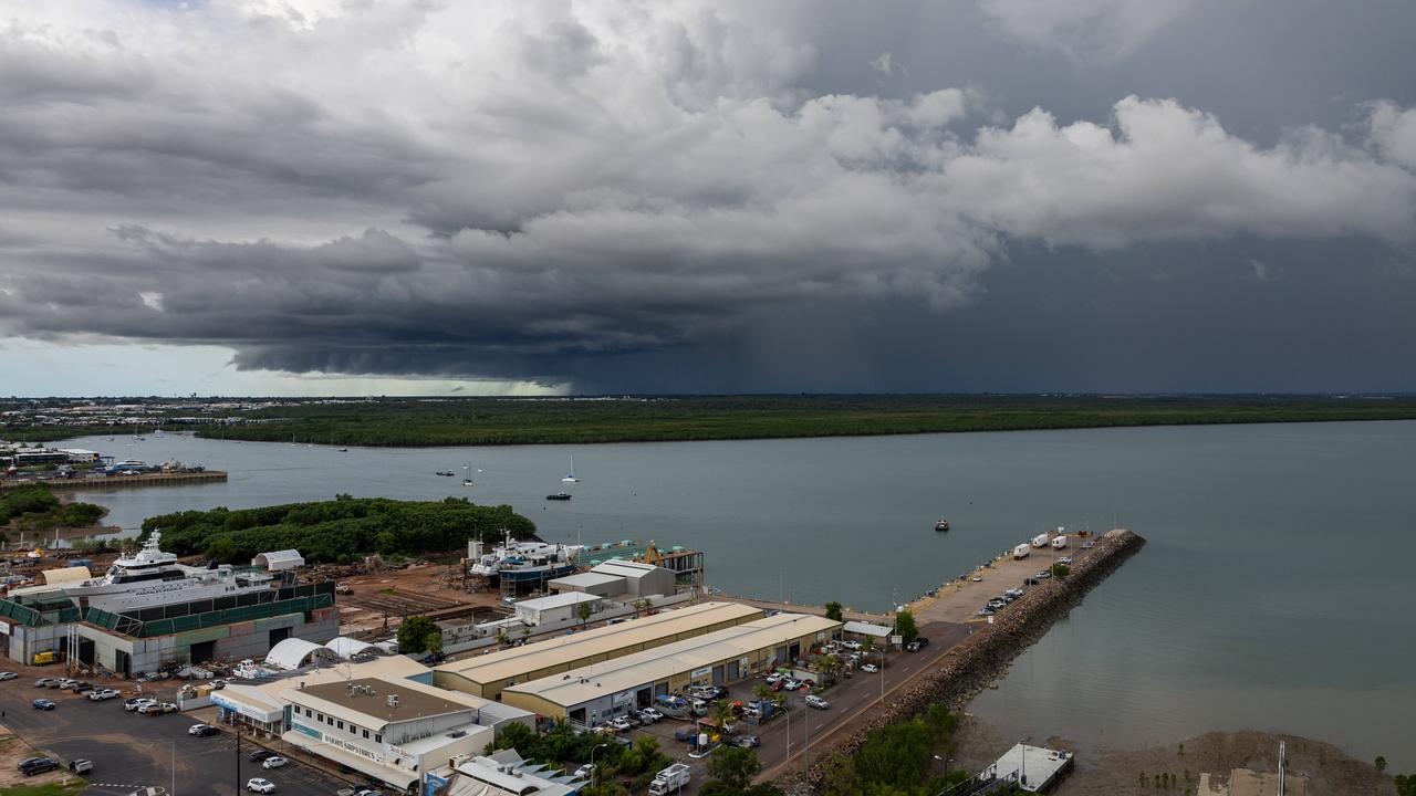
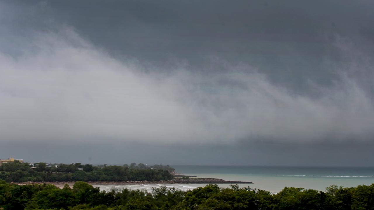
The first storm of the season has battered Darwin on Sunday night, with more wild weather forecast for the rest of the week.
Adelaide River copped the highest rainfall with 44mm since 9am Sunday, while Knuckey Lagoon saw 30mm, and Darwin Airport 13mm.
The storm moved northwest Sunday evening, hitting Darwin shortly after 11pm and bringing with it heavy rains, thunder and lightning.
Up to 40 minute delays were felt at Darwin Airport as planes were forced to wait for the storm to pass before takeoff.
Some on social media reported their lights flickering as the storm moved overhead.
“It’s raining in Larrakeyah. Power flicking on and off. Some decent thunder is audible … it’s all happening. Wet season has arrived,” one person said on Facebook.
“Was in city and Parap just before midnight and was bucketing down. Back in northern suburbs, just a promise,” another said.
Darwin’s forecast shows a medium chance of showers and the chance of a thunderstorm each day for the rest of the week, mainly during the afternoon.
The rains have done little to take the edge off the heat, however, with a severe heatwave warning remaining in place for Daly, Tiwi, Arnhem, Carpentaria and Gregory Districts.
Farther south an extreme fire danger warning was issued for Barkly North on Monday, as the large Tanami fire complex continues to burn huge swathes of the country west of Tennant Creek.
Could the monsoon skip the Top End entirely this year?
The Top End has stormed past its record for latest monsoon. Here’s when – and if – to expect it.
Top End monsoon remains a nonsoon, as weather bureau releases outlook
The Top End’s unpredictable and long-awaited monsoon season has again been tipped to arrive at the end of January, as the Bureau of Meteorology releases its preliminary summary of Australia’s 2024 climate. Read the details.