Spike in Irukandji jellyfish expected at North Queensland beaches
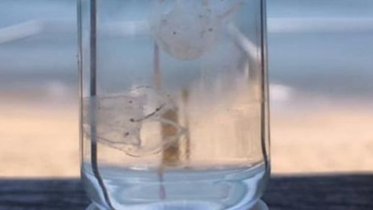
Tourists visiting Far North Queensland are being warned to keep an eye out for a deadly creature that is relishing a “perfect storm”.
Tourists visiting Far North Queensland are being warned to keep an eye out for Irukandji jellyfish, as the deadly creature is expected to thrive in recent weather condition.
Surf Life Saving North Queensland warned visitors and beachgoers alike that Irukandji had been found at Mission Beach, Dunk Island and off Vlashof Cay.
The social media post from December 26 encouraged anyone in the water to “always swim between the flags and wear a stinger suit”.
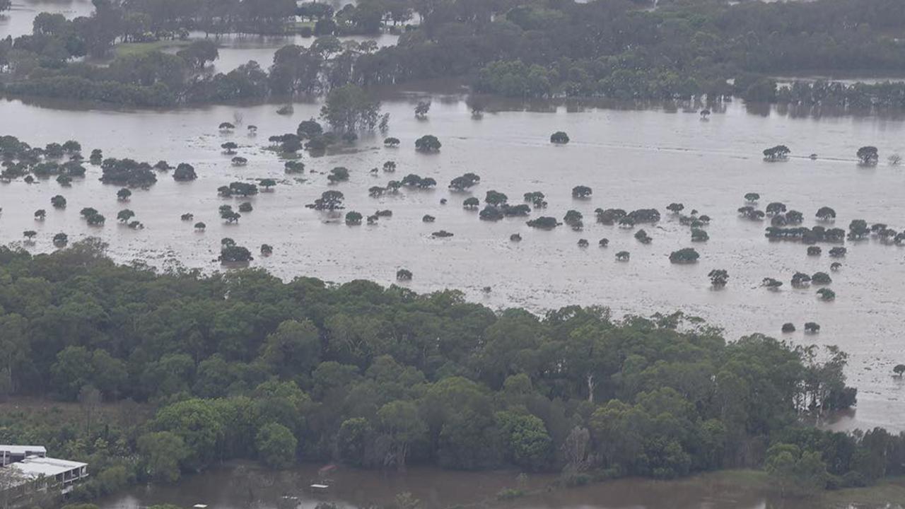
“Currently all beaches are affected by the flooding with a marine stinger enclosure in place at North Mission Beach and no date for the net installation at other beaches,” surf lifesavers warned.

Surf Life Saving North Queensland lifeguard supervisor John Murray told The Cairns Post that water conditions after the cyclone and recent weather conditions created “the perfect storm” for the dangerous stingers, which were likely to become more prevalent in the region.
“We did sort of expect it,” Mr Murray said.
“Most people know it is usually warm and calmer. If I was stinger, I’d be out there.
“I would bet my job that if the beaches were open we would be seeing people being stung by Irukandji.”
The warning comes as Queenslanders start the mammoth clean-up after parts of the state were savaged by intense storms and a tornado.
The cost of the recovery would be “significant”, Deputy Premier Cameron Dick warned.

The Treasurer said his staff were working out the cost of the damage and clean-up following the Christmas Day storms that ravaged the southeast and the aftermath of Tropical Cyclone Jasper in the state’s far north.
“At the top level this is going to be a very significant event,” Mr Dick said.
“It’s had a very significant impact on specific economies both in the south and the north of the state and the Treasury is currently doing an economic analysis on the impact that it’s had.”
While Mr Dick wouldn’t elaborate on an estimated cost, he said there would “be a lot of money” coming out of the state’s coffers to help residents rebuild.

“This is going to have a big impact on our economy but Queenslanders can have confidence because of the strength of our budget and the strength of our economy, we can recover quickly from this,” he said.
“The government will deploy whatever resources are necessary through those disaster recovery funding arrangements with the federal government to make sure that essential infrastructure is restored as quickly as possible.

“It’ll be a lot of money, there will be a great investment from the state and federal government and then there will be an economic assessment.
“I’m not willing to put a figure on it at the moment, the Treasury is doing that analysis at the moment.
“But clearly it’ll have a significant impact.”
Mr Dick urged tourists and visitors, especially from the southern states, to keep their travel plans to Far North Queensland.
“The far north is open for business, our hotels are open, our restaurants are open,” he said.
“We welcome tourists and visitors to the far north.
“Tourism is open.”

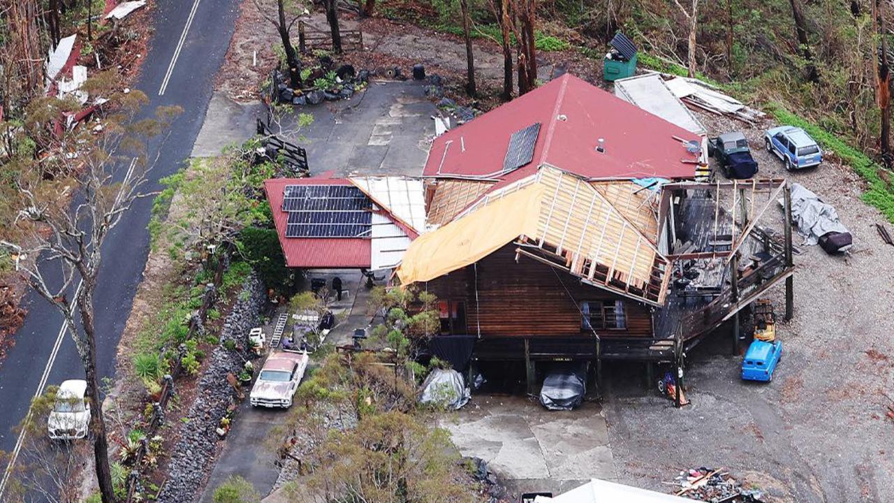
Aerial footage of the devastation shows the extent of the huge task many residents are facing as the clean-up begins.
Energex workers continue to get more than 6200 properties and businesses connected again to power.
More than 3200 structures were damaged, including 145 structures with severe damage and 10 that have been destroyed during the Christmas Day storm and subsequent flooding events in the southeast.
Meanwhile, the Bureau of Meteorology has forecast heavy rainfall could potentially fall in storm-affected communities on Thursday.
“It is highly unlikely we will see high and severe thunderstorm activity to the degree of what we saw on Christmas Day,” a bureau spokesman said.

“Looking beyond the southeast corner and up in the far north, we are reiterating that we are seeing ongoing severe heatwave conditions this will continue over the next few days and into next week.
“Our main risk for any thunderstorm activity is going to rise through western Queensland over the next few days, and there could be an increase in locally heavy rainfall in Queensland continuing into early next week before we see showers and thunderstorm activity spreading in parts of central and northern through to next week.”


