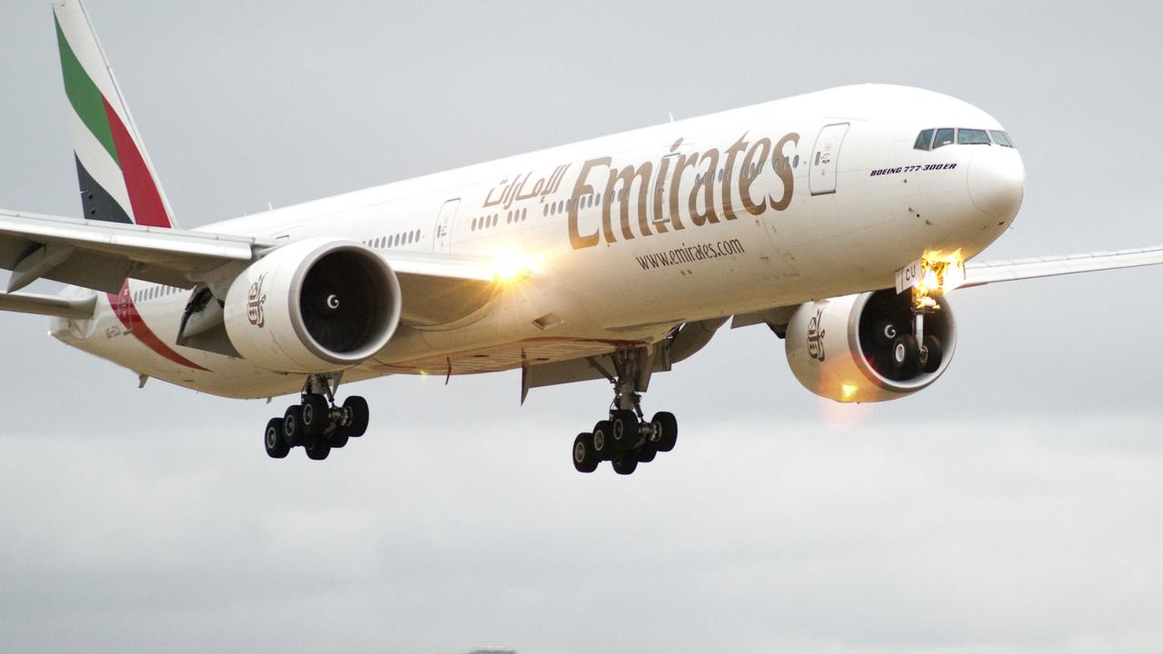
Flight paths released for new Western Sydney International Airport ahead of 2026 opening
Residents can also test how much noise they’ll have to cop when aircraft take off in a little over three years’ time.
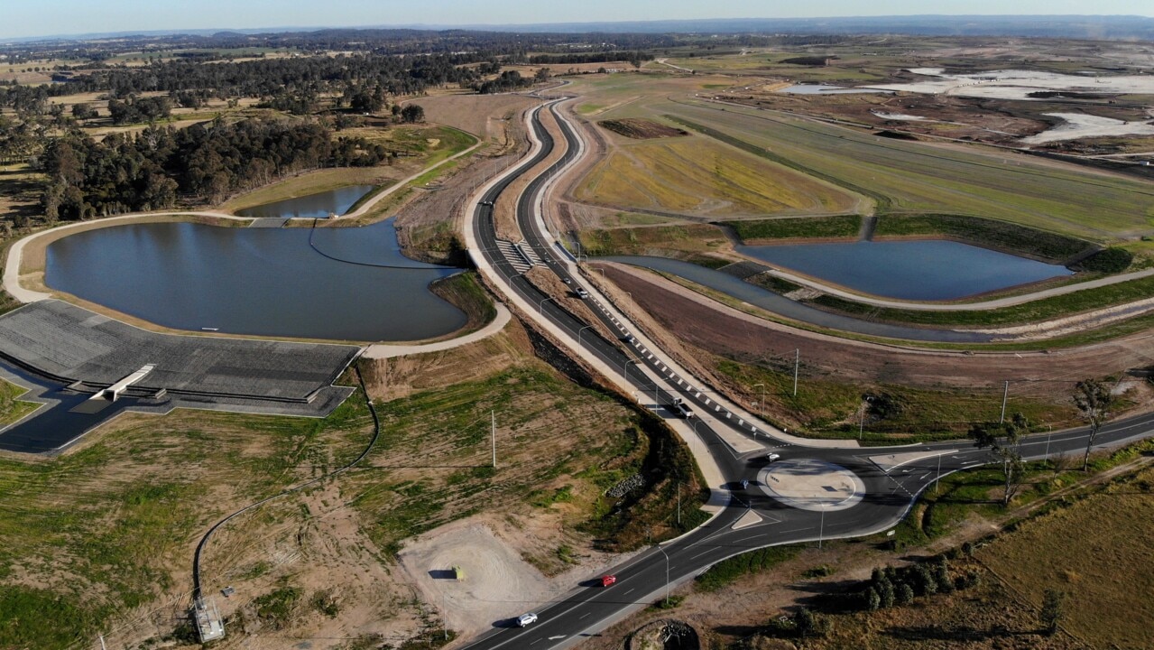
The proposed flight paths for western Sydney’s new multibillion-dollar airport have been released alongside an online tool for locals to measure how much noise they will have to bear with when aircraft take off in little over three years’ time.
The interactive tool, released this morning, allows residents to search an address and view the proposed flight paths from Western Sydney International Airport as well as their associated noise at various altitudes over key areas.
It has revealed homes to the southwest – including those in Greendale – and homes to the north – in Luddenjam and Twin Creeks – will bear the brunt of the noise from the 24-hour airport set to open at Badgerys Creek by 2026.
Modelling shows residents to the north and east of the airport – including Erskine Park, Kemps Creek and Mount Vernon – will also be among areas where aircraft noise could reach as high as 70 decibels by 2033, under different scenarios.
According to the airport’s noise assessment, outdoor sound levels of 70 decibels can lead to indoor sound levels around 60 decibels, enough to disturb a normal conversation.
Federal Infrastructure and Transport Minister Catherine King said the Western Sydney Airport flight path tool provided “additional transparency” to the community.
“Importantly, the preliminary flight paths were developed according to airspace design principles that reflect community feedback from the ‘proof-of-concept’ flight paths released in 2015,” she said.
“These principles include minimising flights over residential areas and reducing the impact on the community of aircraft operations at night.”
Supporting material, she added, has also been released to explain the approaches to the preliminary path design and noise modelling.
The $5.3 billion Western Sydney International Airport – commonly referred to as Badgerys Creek Airport – will be the first in New South Wales with no curfew, with flights taking off and landing 24 hours a day, seven days a week.
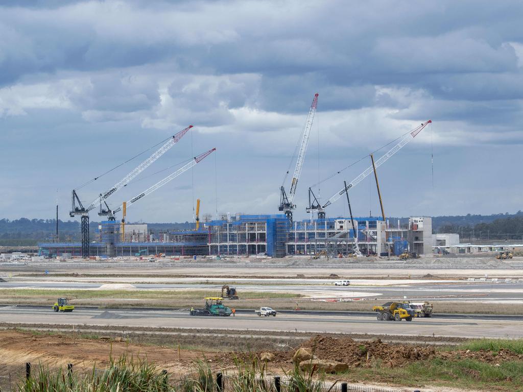
Planners reportedly worked to avoid traffic over certain areas, including much of the Blue Mountains Heritage-listed area, as well as a restricted defence zone within the airport’s catchment.
A draft environmental impact statement of the flight paths is due for release later this year.
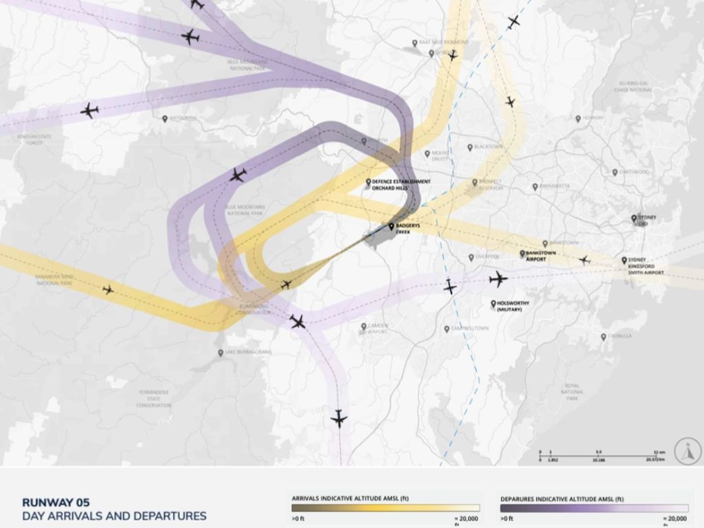
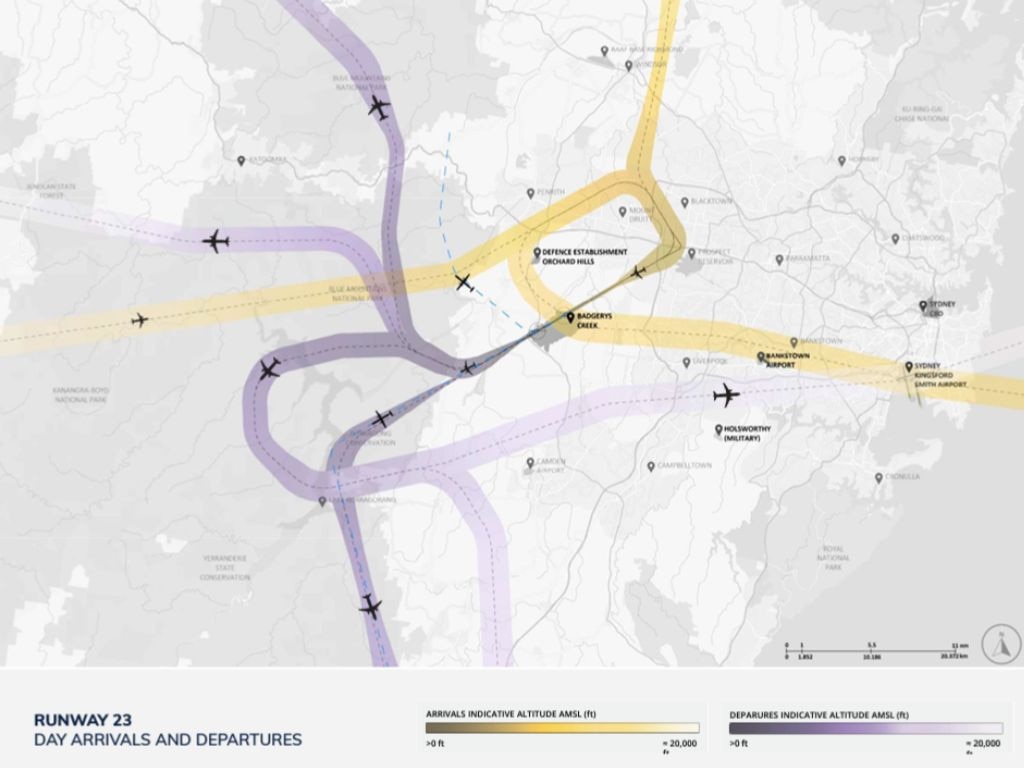
According to the draft plan, wind conditions will dictate which of two runways – Runway 05 or Runway 23 – is used when, aiming to avoid incoming and outgoing aircraft flying over the same area.
The plan shows aircraft arriving from the southwest and departing to the northeast when Runway 05 is in use; whereas aircraft will arrive from the northeast and depart to the southwest when Runway 23 is in use.
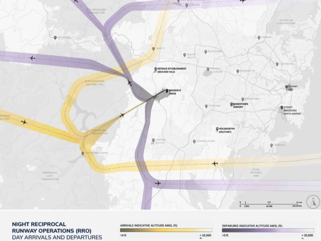
During evening operations, from 11pm to 5.30am, the plan is for all aircraft to land on Runway 05 from the southwest and take off on Runway 23 to the southwest in a bid to minimise the impact on the most heavily populated areas of western Sydney.
Western Sydney International Airport – which has been given the three-leter identifier ‘WSI’ by the International Air Transport Association – is expected to see 15 million passengers through its gateway by 2033. It is set to carry 37 million passengers a year by 2050.
Ms King encouraged residents to visit the online portal at www.wsiflightpaths.gov.au to use the aircraft overflight noise tool.


