Weather bomb hits across the Tasman
“THIS is shaping up to be the biggest single dump we’ve had since 2010.” New Zealand is in the midst of a huge snowstorm, which is leaving Australia a bit jealous.

A WEATHER “bomb” has well and truly hit across the Tasman.
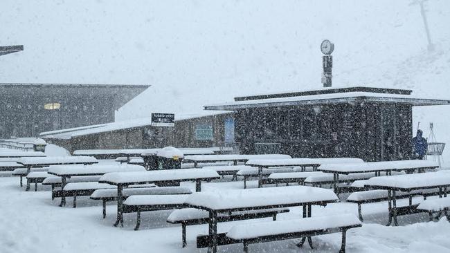
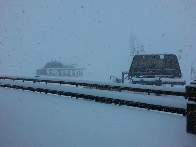
New Zealand’s South Island is in the midst of a huge snowstorm, with predictions it could receive 70cm of fresh snow across its ski resorts.
About 40cm of snow has already fallen in less than 2½ hours at Mt Hutt, and it’s expected to continue to snow until 7am tomorrow.
“We’re expecting patches of snow flurries throughout Friday but it’s looking like a ‘pow’ day at this stage,” operations manager James Urquhart said.
The resort, which has been closed today due to high winds, expects to reopen tomorrow.

Meanwhile, Queenstown’s Coronet Peak has also received 40cm.
“This is shaping up to be the biggest single dump we’ve had since 2010,” ski area manager Ross Copland said.
“At peak intensity, 5cm per hour was dumping on us this morning. Conditions on the mountain are incredible; all trails are blanketed in a deep layer of light dry powder.”
The beginner’s lifts, Coronet Express and Meadows chairlifts are all operating, while Greengates and Rocky Gully lifts both open on Saturday.
“We’re not even one week into the season and it’s been an incredible start so far,” Mr Copland said.
The Remarkables are slated for a Saturday start. Porters and Broken River (near Christchurch) also begin operations at that time. With heavy snow expected down to 600m in the South Island, it’s advantage Kiwis at this stage.

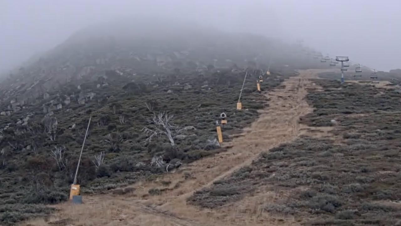
Meanwhile, back at home, Charlotte Pass in NSW will open tomorrow and, with the predicted snowfalls over the coming days, Selwyn shouldn’t be too far away either.
The top-up for which all Aussie snow lovers had their fingers crossed arrives today, with up to 15cm of the white stuff expected in most resorts. There’ll be the almost Aussie-standard prefrontal rain, but it shouldn’t do too much damage to the snow pack.
There’s the potential for another 10-20cm of snow on Monday as the moisture feed moves north-westerly, prompting some colder conditions. This augers well for snow-making in the days after too.
— With AAP


