Rain event to cause chaos for Australia’s ‘best ever’ snow season
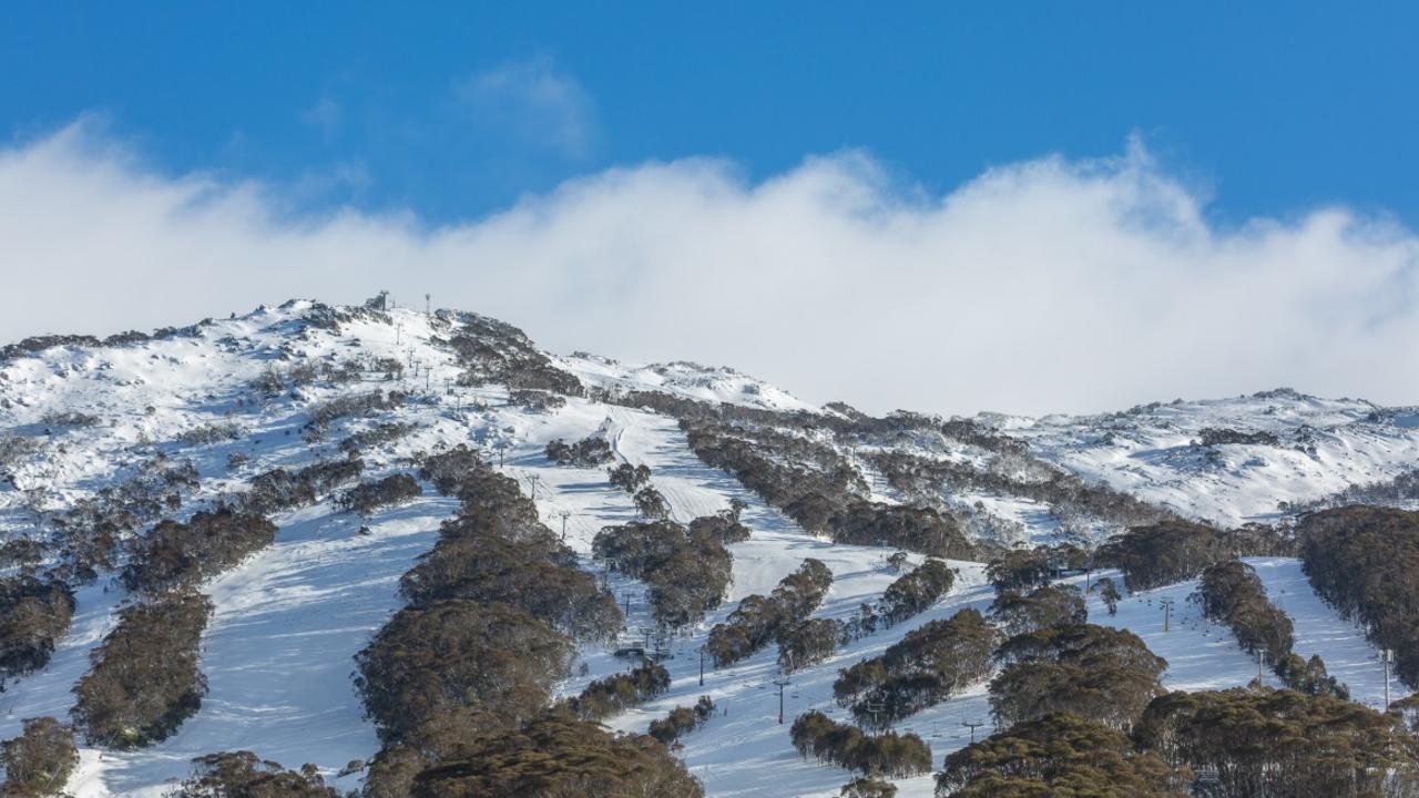
Just two weeks ago, snow lovers were dancing in more than 70cm of fresh powder. But this week, the slopes will face an unwelcome change.
After a stellar start to the season, with ski resorts across the alpine region opening early because of unseasonably heavy snowfalls, a rain event is set to cause havoc on the slopes.
Forecasters have warned of a substantial “rain event” over the coming days, as a cold front barrels across the Great Australian Bight towards South Australia, Victoria and Tasmania.
The rain that is expected to fall across southern Australia combined with warmer temperatures means the snow that’s fallen in the past two weeks will be “washed away”.
On Monday, Falls Creek had 50mm of rain, while Perisher and Thredbo received around 40mm in total. The downfall has already done some damage to the snow cover, with more still to come.

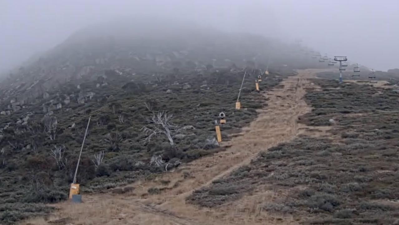
“The snow cover has become quite patchy,” Sky News Weather chief meteorologist Tom Saunders said on Tuesday.
“Some of the lower slopes are really struggling now and are back to grass as opposed to snow.
“Overnight the temperatures remain quite warm … generally a little too warm for any snow making.”
But while a cold front will bring “heavy rain” by Thursday, Mr Saunders says the warm temperatures will mean minimal snowfall heading into the weekend.
“There’s not a lot of precipitation reaching the alps,” he said of the rain band.
“The higher slopes will start to get some light snow, but some rain will continue on the lower slopes.”
With up to 50mm predicted at Mount Buller, Mr Saunders says the heavy rainfall “will wash away a lot of the snow”, with most ski fields set to receive just 4-6cm of fresh powder over the next seven days.

The Bureau of Meteorology has issued a severe weather warning for almost all of Victoria. It has warned of winds averaging 60 to 70km/h, with peak gusts of around 100km/h on higher ground, thunderstorms, heavy rain and possible flash flooding on Wednesday.
In New South Wales, the rain will subside by Thursday, with Canberra to get a smattering with highs of 14-18C — 6 degrees above average.

It will be a dry week for Sydney, with an unseasonable high of 23C on Wednesday. That’s closer to November’s average high than June’s, which is a mere 17C. Temperatures will then begin to fall, dropping into the high teens by the weekend.
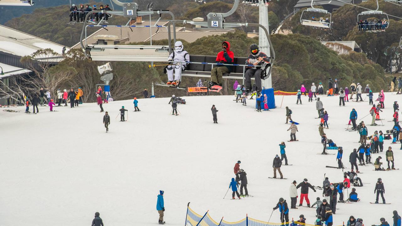
During the first week of June, some of Australia’s biggest ski resorts opened earlier than expected after receiving unseasonably high amounts of snowfall.
The wintry blast resulted in the coldest May day in nearly 20 years, with experts saying the start of the season had produced the best conditions they’d seen in years.
— with Benedict Brook


