Low pressure system delivers first snow to New South Wales and Victorian ski resorts
THE weather system responsible for this week’s severe conditions in the south east has brought an early surprise for ski resorts in New South Wales, Victoria and Tasmania.
THE weather system responsible for this week’s severe conditions in Australia’s south east has brought an early surprise for ski resorts.
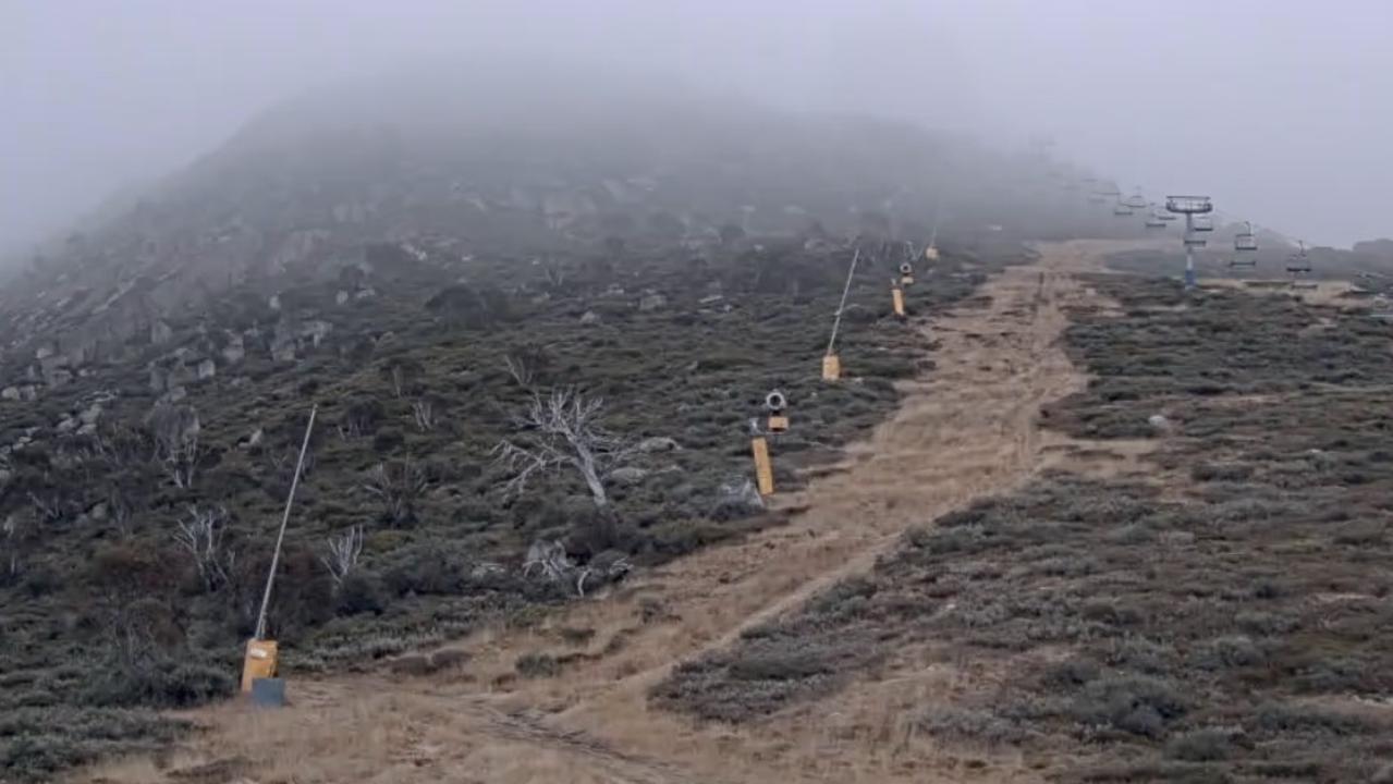
Alpine areas in New South Wales, Victoria and Tasmania received snow falls overnight, four weeks ahead of the official 2016 opening weekend.
The first snowfall of the season has arrived at Perisher overnight! #perisher #epicaustraliapass pic.twitter.com/PPWXSZRqF2
— Perisher Ski Resort (@PerisherResort) May 10, 2016
Thredbo, Perisher and Charlotte Pass in NSW all recorded a few centimetres with the Bureau of Meteorology forecasting more falls today.
Thredbo Top station recorded a chilly minimum of -1.9 just after sunrise.
In Victoria all the main resorts — Falls Creek, Mt Hotham and Mount Buller — woke to a snowy morning.
The temp has dipped below 0°C & #snow flurries have begun tonight at #FallsCreek. #LoveIt #WinterisComing pic.twitter.com/sWairMNjp7
— Falls Creek Official (@fallsaustralia) May 10, 2016
Further snowfalls are likely right across the Victorian Alps today above 1400 metres, rising to 1600 metres later.
Snow’s also been reported in alpine regions of Tasmania, including on Hobart’s Mt Wellington, where the temperature at 8am was -0.2.
Plenty of snow on Mt Wellington for start of day 52 of the campaign pic.twitter.com/KbBRlnoSDl
— Julie Collins (@JulieCollinsMP) May 10, 2016
Mt Wellington recorded a wind gust of 104km/h around the same time.
The cold blast isn’t expected to last long with a warming trend expected for the rest of the week, reducing the chances of follow-up falls.


