Best snowfalls in a decade forecast for eastern Australia. Strap yourselves in for the megablizzard
DAY three of the megablizzard and it’s still snowing heavily. Meanwhile in New Zealand... oh, dear. Anyone for grass skiing?
BLAH, blah, blah, New Zealand snow is better. Blah, blah, blah. Not this week it’s not.
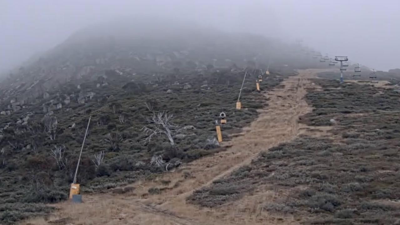
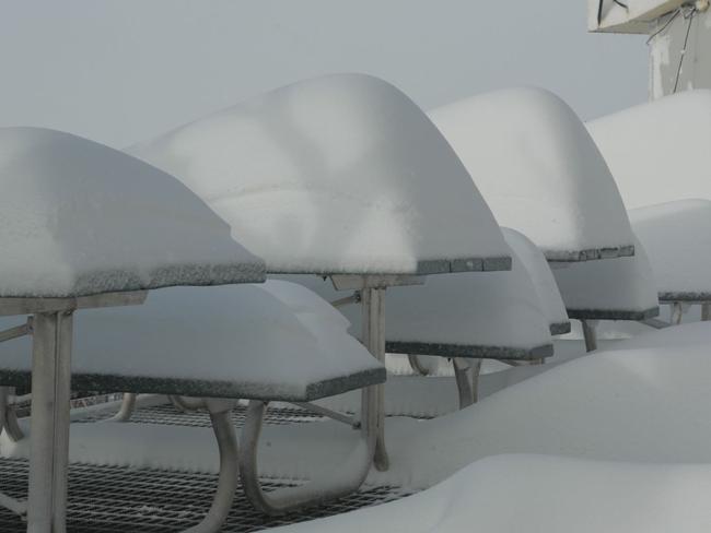
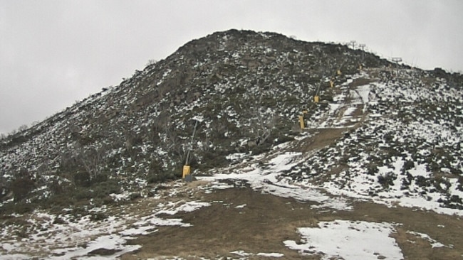
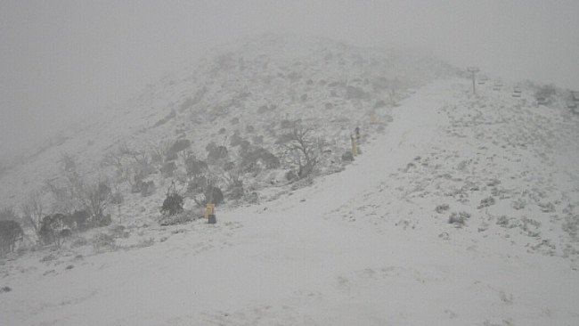
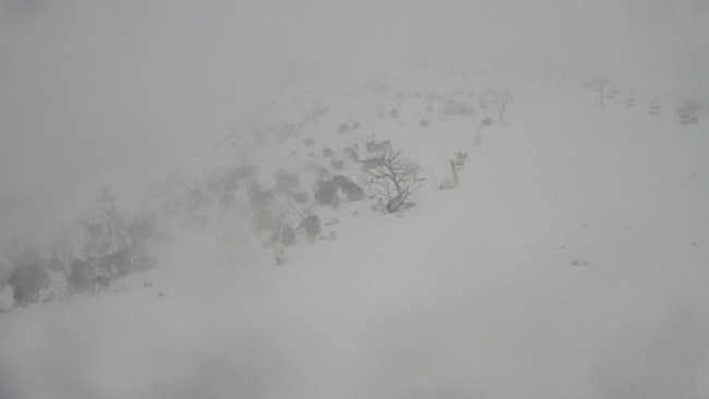
This is Australia right now...
And this is New Zealand.
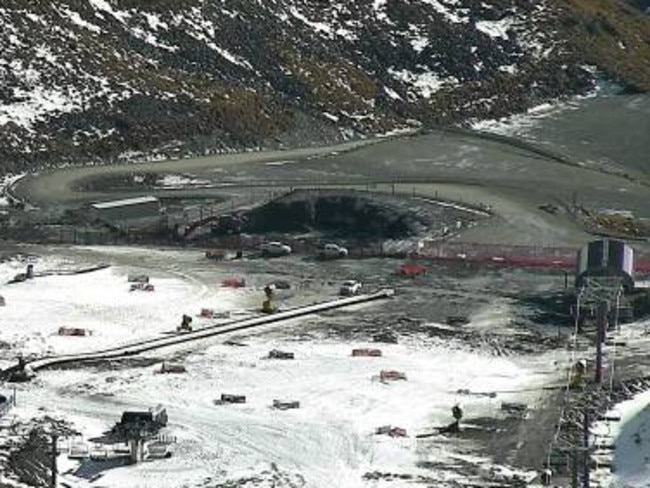
While Australia rejoices in the heaviest June snowfalls this century, with the majority of lifts at all resorts set to open by the weekend, the Kiwis have barely got two snowflakes to rub together.
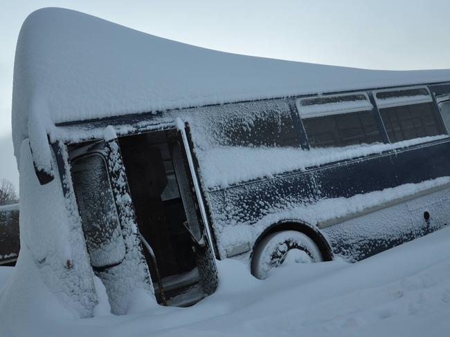
Here’s the rather morbid Facebook message posted by Kiwi skifield Treble Cone resort this morning:
“Following the current rain across the ski field, unfortunately the snow cover on the lower Home Basin will be insufficient for Opening tomorrow and our Opening Day will be delayed. The good news is that there is snow in the forecast for the next few days and we will monitor the condition of the ski area daily and re-schedule Opening Day for as soon as possible.”
And this from nearby Cardrona skifield:
“We are CLOSED today due to heavy rain and gale force winds . On the bright side...temps are dropping and we’re expecting SNOW...remember to do your snow dances today!”
The snow in the NZ forecast is only expected to be light snow which will likely do little to open the slopes.
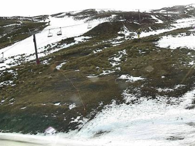
At least the Canterbury region skifield Mt Hutt is failing to live up to its nickname of “Mt Shut”. For once. Its blurb says:
“Mt Hutt is OPEN... Very limited off-trail skiing and riding due to variable snow conditions and numerous rock hazards.”
Meanwhile, an even stronger storm than the one which delivered up to 120cm of snow to Australia this week is set to strike this weekend.
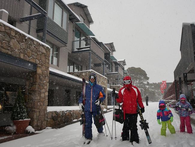
If forecasters are right, and they sure were this week, yet another metre of cold white goodness will likely be coating the Australian Alps by Monday.
Yes, the megablizzard continues. Here’s a little Tweet from Falls Creek in Victoria to show you how that’s going.
Playing #dudewheresmycar at #FallsCreek at 2pm today. It's getting seriously deep out there @antsharwood pic.twitter.com/6uRwGVinWG
— Falls Creek Official (@fallsaustralia) June 24, 2014 Sub-type: comment CAPTION: Playing #dudewheresmycar at #FallsCreek at 2pm today. It's getting seriously deep out there @antsharwood pic.twitter.com/6uRwGVinWG— Falls Creek Official (@fallsaustralia) June 24, 2014
Don’t forget to scroll down for Monday’s and Tuesday’s stories, which include heaps more freshly-updated (on Wednesday) images of the snowstorm of the century.
MONDAY AND TUESDAY’S STORY (also with updated images)
IT’S here. The megablizzard. Snowpocalypse now. This baby has been on the weather charts all week and it’s howling its way through the Australian Alps as you read this.
Experienced weather watchers are calling it the storm of the century. They’re saying it could snow on and off, but mostly on, for the next 10 days.
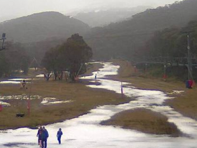
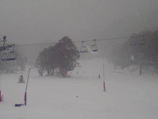
And now the megablizzard has arrived. The NSW resorts of Thredbo and Perisher received 40cm and 50cm respectively overnight. Hotham, Falls Creek and Mt Buller (pictured below) in Victoria all reported similar totals.
A spokesman for Thredbo confirmed to news.com.au that as of about 3.30pm, 80cm of snow had now fallen in the past 24 hours.
“It’s an incredible amount for June, I’m not sure it’s a record, but it has set us up for the rest of the season,” he said.
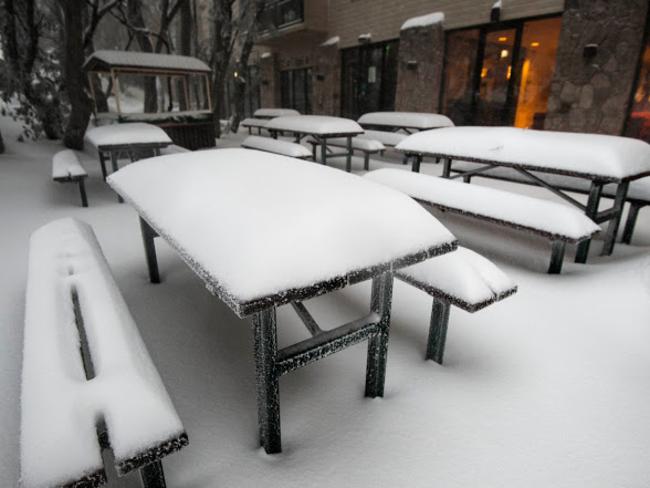
And speaking of Mt Buller, check this before and after sequence. It sure is a big difference from Monday morning to Tuesday afternoon.
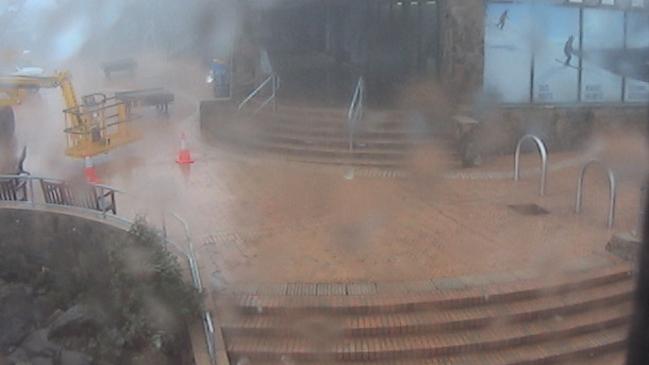
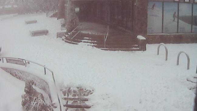
Late night update. A full #winter #blizzard at #FallsCreek. #Snow's bucketing down to 600m tonight. @VanessaOHanlon pic.twitter.com/lm7VgqYAob
— Falls Creek Official (@fallsaustralia) June 23, 2014 Sub-type: comment CAPTION: Late night update. A full #winter #blizzard at #FallsCreek. #Snow's bucketing down to 600m tonight. @VanessaOHanlon pic.twitter.com/lm7VgqYAob & mdash; Falls Creek Official (@fallsaustralia) June 23, 2014
Still dumping here @ThredboResort looking mighty fine. 10cm and counting #blizzards #snowallnight #ilikeit pic.twitter.com/JjwuPnqa2l
— Thredbo (@ThredboResort) June 23, 2014 Sub-type: comment CAPTION: Still dumping here @ThredboResort looking mighty fine. 10cm and counting #blizzards #snowallnight #ilikeit pic.twitter.com/JjwuPnqa2l & mdash; Thredbo (@ThredboResort) June 23, 2014
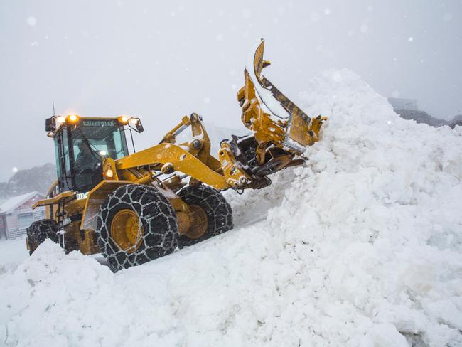
The official Australian ski season started two weeks ago but up till yesterday then, there had been a desperately thin snow base with only a lift or two turning at the NSW resorts of Perisher and Thredbo. Victorian resorts, which are a little lower than their NSW counterparts, had nothing but grass.
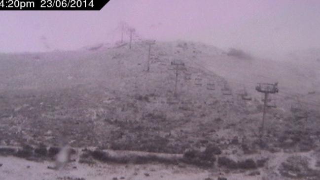
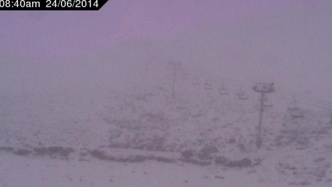
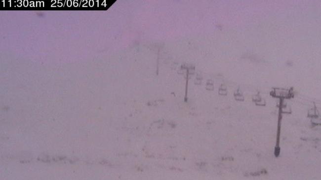
That all started to change yesterday and after a brief lull in the early morning hours, the storm appears to be intensifying now.
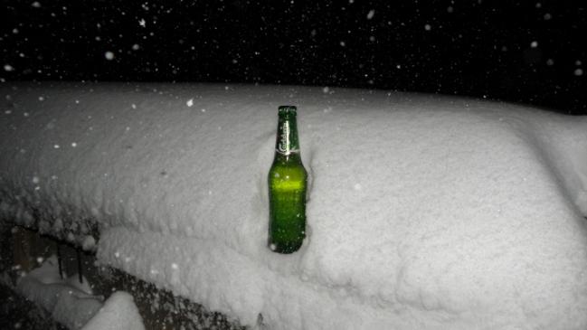
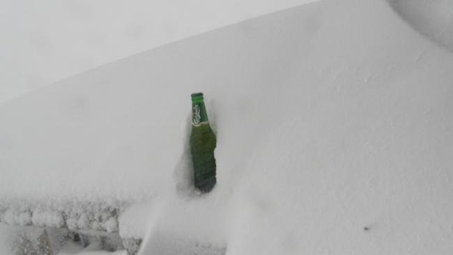
There’s bucketloads more snow coming today and by early next week, we could be looking at virtually all lifts spinning at resorts on both sides of the Murray, with a metre or more of cover. Just in time for the school holidays too, the two week window which is vital for our ski industry bottom line.
3:45pm White out at Perisher pic.twitter.com/YwMUyzv9Q7
— chris murphy (@chrismurphys) June 23, 2014 Sub-type: comment CAPTION: 3:45pm White out at Perisher pic.twitter.com/YwMUyzv9Q7 & mdash; chris murphy (@chrismurphys) June 23, 2014
Snow in Australia has been generally declining in recent years. Here’s a graph that proves it.
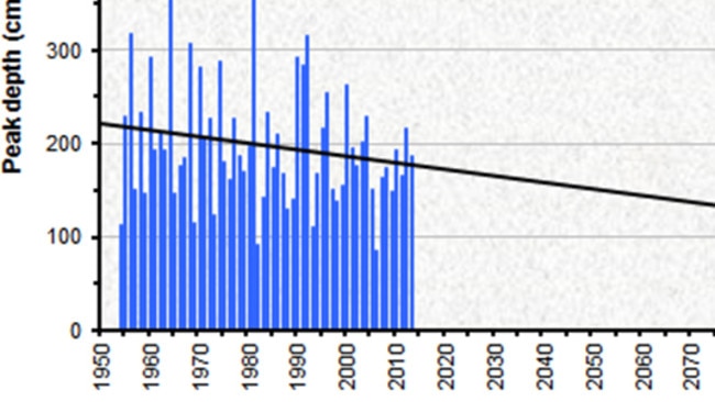
The graph shows measurements from Spencer’s Creek, halfway between Perisher and Thredbo. The readings are taken weekly by electricity generation company Snowy Hydro to predict water inflows to dams, and are therefore unaffected by resort spin doctors.
Snowfall decline is not just a result of warmer temperatures. Climatologists say that one of the clear effects of climate change is fewer snow-bearing systems making their way from the Southern Ocean to the Australian Alps.

Ever heard of the roaring forties? It’s an old maritime term which refers to the band of low pressure systems in the 40s latitudes. During winter, these systems can push northwards and bring their cold, moist subpolar air to southern Australia. In a good snow year, plenty of these systems push north. In a poor year, like the worst ever season of 2006, hardly any break through.
That’s why the current weather charts have snow watchers in such a lather. It’s not just the current cold front, marked by a line with what you might call black “shark fins” on the weather map. It’s the fact that there’s another front, and another due after that. The one next Saturday in particular looks like a doozy. And there’s a chance of more snowy action well into next week on the long range charts.
Here’s what a user called “Snowblowa” said on the forums on leading snow industry website ski.com.au:
“Seriously when was the last time we were looking at a potential 100cm event to kick off the season properly with potential mega follow up?!!!!!!! We gotta savour this, it’s gunna be awesome, we might be saying in five years “remember late June in 2014”. Besides, we are so over due, last few years in General have been pretty average.”
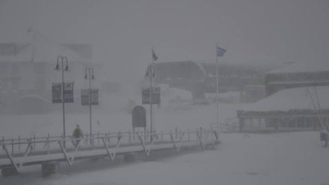
Others on the site have dug through the archives to compare the current weather charts to famous megablizzards of the past.
“Reminds me of a system we had in early August 2004. It didn’t stop snowing for 10 days or something like that. Still has to happen, of course.”
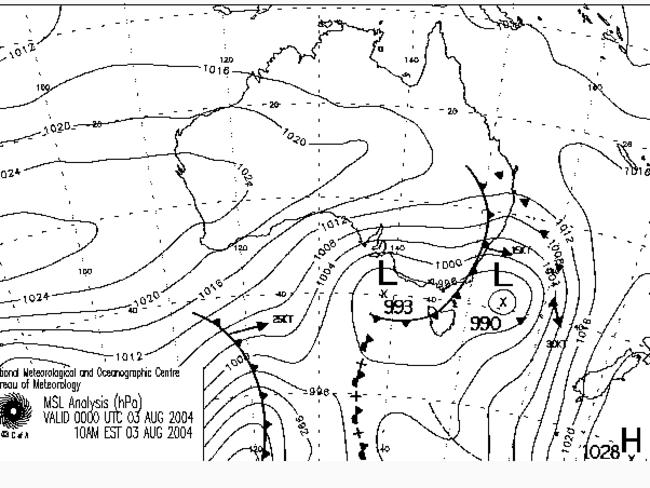
Indeed it does. But as mentioned, the megablizzard has already started, in a welcome throwback to the days when heavy snowfalls were more regular in Australia. We’ll keep updating our images as the storm continues. Hopefully by tomorrow morning, we’ll have some pics of what snow industry people like to call “snow porn”. Ugly phrase, beautiful thing.

