
Urban legacy of apartheid captured in stunning aerial shots
AMAZING aerial photographs have captured the urban legacy of South Africa’s stark apartheid regime.
A PHOTOGRAPHER has captured the stark contrast between how the rich and poor live in South Africa — side by side, but clearly separate.
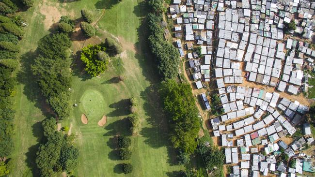
Each incredible image in Johnny Miller’s collection Unequal Scenes was shot using a drone and highlight the buffer used to separate communities in city planning. Miller, an American who moved to Cape Town five years ago, said he was studying anthropology and became fascinated by how city planning was used to reinforce the country’s strict apartheid regime. While apartheid officially ended in South Africa in 1994, clear distinctions between shanty towns and wealthy settlements remain evident throughout the country. Images from Kya Sands in Johannesburg and Papwa Sewgolum Golf Course and Umgeni River in Durban are included in Miller’s collection. “Looking straight down from a height of several hundred meters, incredible scenes of inequality emerge,” Miller said. Photo gallery He added some communities were “expressly designed with separation in mind, and some have grown more or less organically”. “Roads, rivers, ‘buffer zones’ of empty land, and other barriers were constructed and modified to keep people separate,” he said. “Twenty-two years after the end of apartheid, many of these barriers, and the inequalities they have engendered, still exist. “Oftentimes, communities of extreme wealth and privilege will exist just meters from squalid conditions and shack dwellings.” Miller used maps and census data to identify areas with big differences in demographics and Google Earth to plan his drone’s flight paths. Once in the air, the drone had only 12 minutes of battery life to capture the images. Here are some of Miller’s incredible results.

Uber’s unexpected move in South Africa
Uber has just announced its next big move in South Africa describing it as its most wild offering to date.
Boomers, if you’re doing this you’re too rich
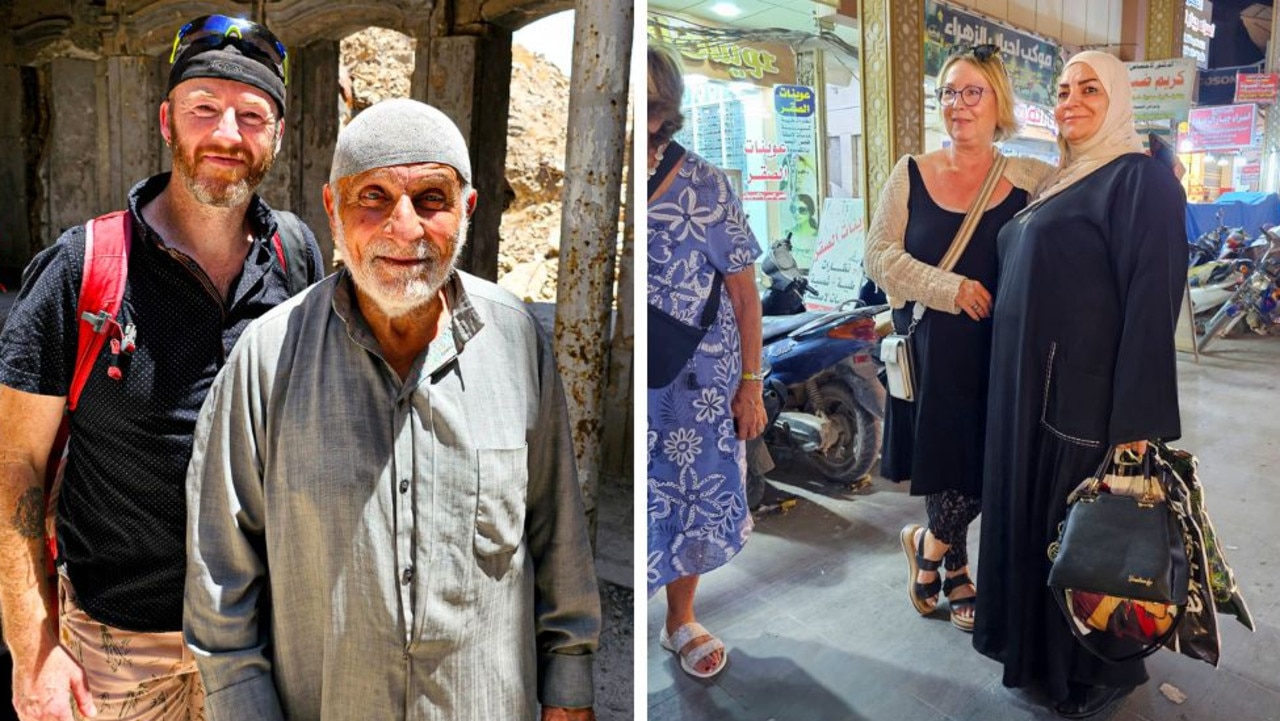
There is a strange trend growing among wealthy, well-travelled Australians who have time and money to spend.
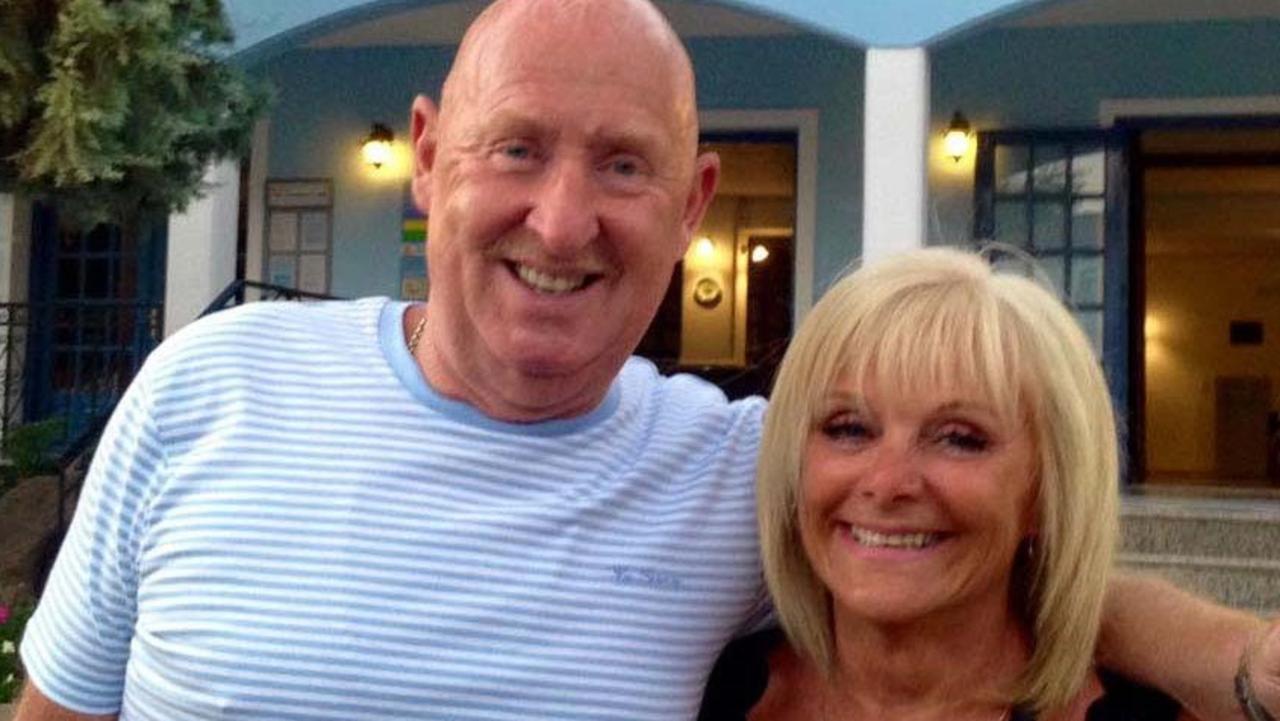
Couple fatally poisoned in hotel room
Their grief-stricken daughter has described the harrowing final moments as her parents complained of feeling unwell.