Supercell storms hit southeast Queensland, with thousands left without power
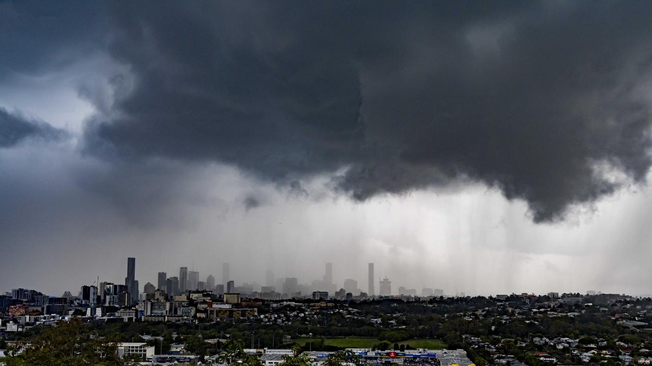
Areas around Brisbane have been smashed by storms and forecasters are saying there could be more to come on Friday.
Supercell storms have hit southeast Queensland for the second day in row with almost 300,000 lightning strikes recorded in just 24 hours
The wild weather came after the Bureau of Meteorology (BOM) issued a warning for severe thunderstorms likely to produce damaging winds, large hailstones and heavy rainfall that could lead to flash flooding in and around Brisbane and Sunshine Coast.
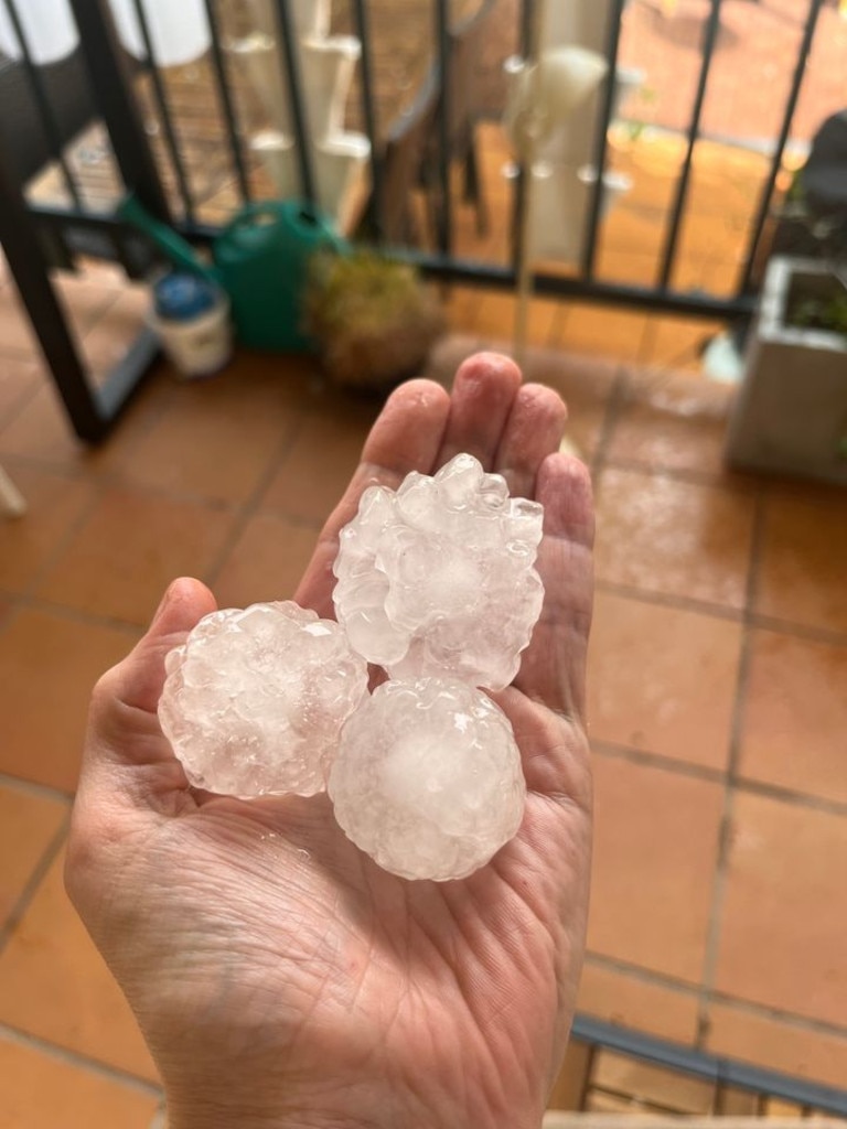
Social media was flooded with images of the giant hailstones and dramatic lighting strikes.
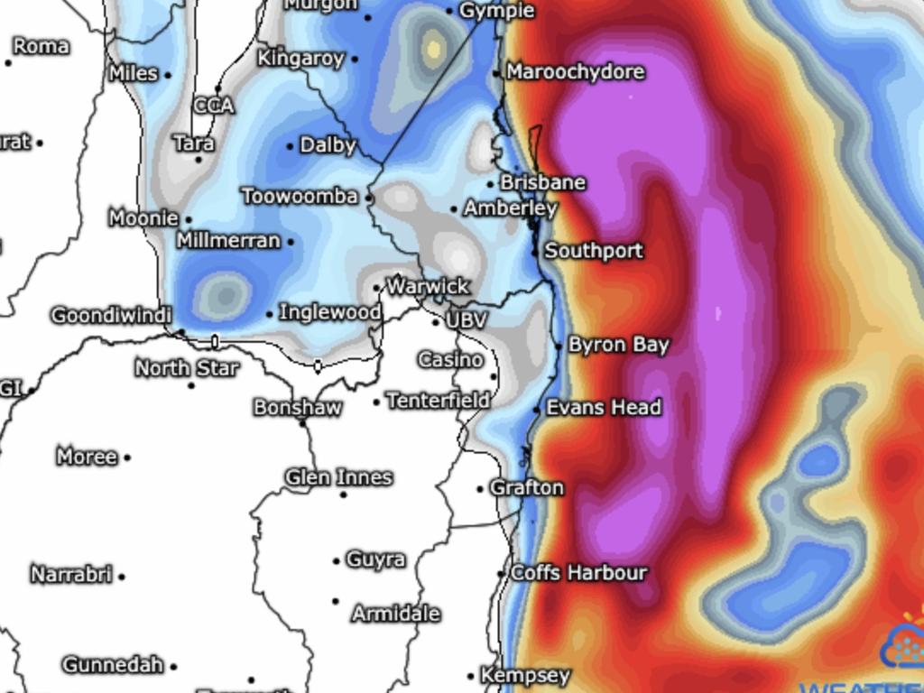
The Bureau has said more storms are possible on Friday. However, the severe weather warning was cancelled during the night.
There is no word that anyone has been injured.
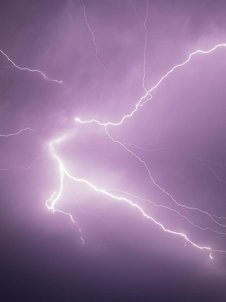
Some residents have referred to the storms on weather radars as a “wall of death”, with many posting pictures to storm chaser Facebook pages.
It comes after huge hailstones the size of golf balls smashed Greenbank and Wyaralong, south of Brisbane.
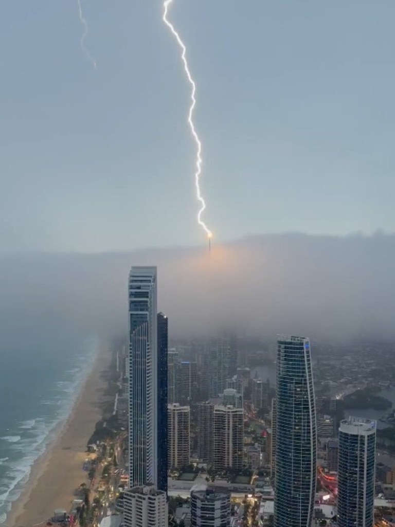
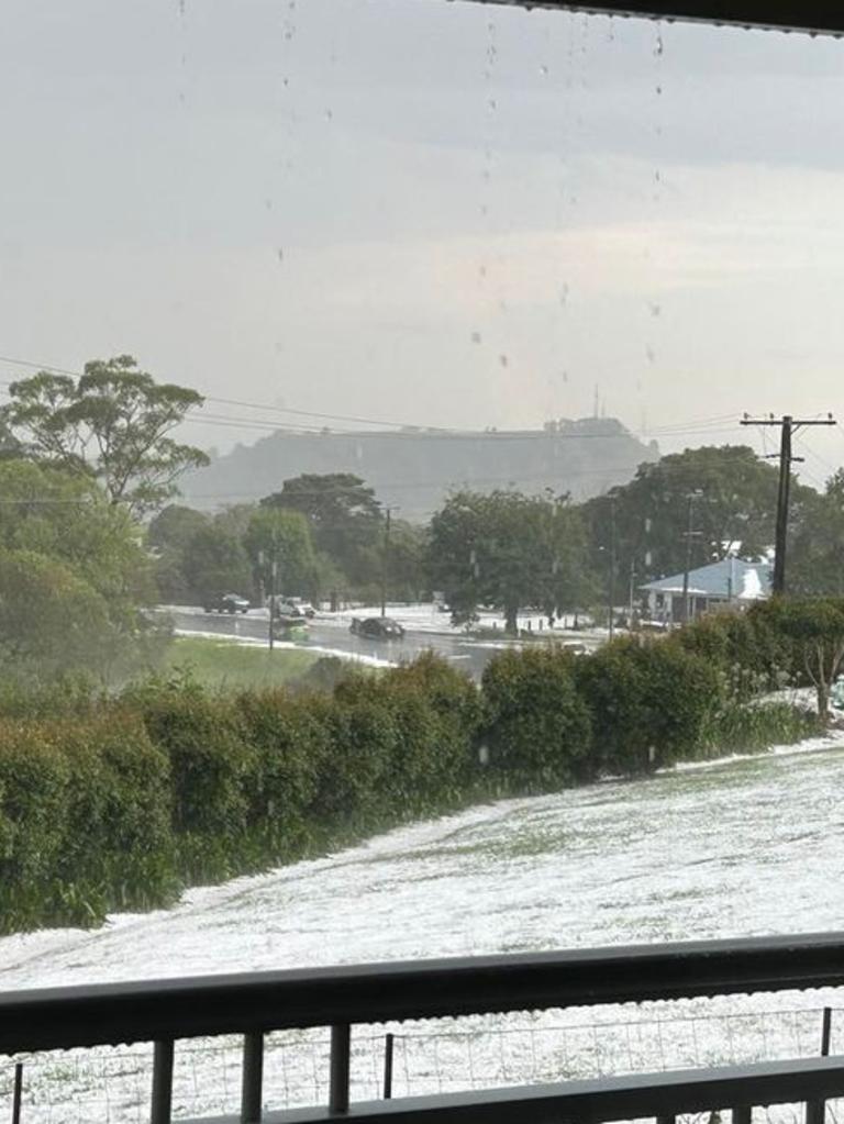
Thunderstorms started on Thursday at around 3pm after wreaking havoc on the state on Wednesday.
Ergon Energy has said several hundreds customers around Gympie are without power.
Around 1000 customers in an areas from Rockhampton to Emerald remain without power early on Friday morning.
Ergon Energy explained said the storm hit a major high-voltage line.
Footage from Emerald showed the after effects of the storm with flooded roads and hailstones coating the road like snow.
Rail passengers were also left stranded after train lines were suspended in the Sunshine Coast between Caboolture and Nambour stations due to an overhead power line being damaged.
They were evacuated and taken to their destination by bus but delays persisted for commuters.
Those rail lines have now reopened.
But the storm threat has not gone.
Friday could bring yet more inclement weather.
“Another day, another storm outbreak for Queensland,” said the Bureau of Meteorology’s Angus Hines on Thursday.
“Pretty widespread storms, again, focusing on the south east of the state, we are looking at areas from the Capricornia down to the south coast, including the Wide Bay pushing inland to the Scenic Rim, the Eastern downs and up into the Burnet area, as well as parts of the Central Highlands for being the focus of storms on Friday afternoon,” he said.
The silver lining is that there is a possibility the storms on Friday will be less ferocious. While a cold front should, finally, push those storms off shore overnight on Friday.


