Jets, boats and satellites: How the world is searching for missing flight MH370
IT SEEMS we have our most promising lead yet in the search for missing Malaysia Airlines flight MH370. It’s the largest search in history, so what is being used to find the plane?

THE most promising lead yet in the search for missing Malaysia Airlines flight MH370 has occured with objects found off the coast of Western Australia.
The Australian government has sent out four Orion AP-3C aircraft to see if the large objects - one measuring 24m - are in fact related to the missing plane, with support from the United States’ P-8 Poseidon.
In total, 26 countries have been involved in the search efforts, and all have deployed their best search and rescue technology. It’s the largest search in history, so what is being used to find the plane?

Searching from the sky
Ironically, our most efficient way of searching for the plane is with another plane, 58 of them in fact. Australia is providing assistance in this area with four AP-3C Orion maritime surveillance planes which have just been dispatched to the Indian Ocean to investigate possible objects from the plane. New Zealand and the USA have also chipped in with similar Orion aircraft in other areas. They are equipped with some pretty nifty gear including radar, acoustic (sound) detectors and electro-optic detectors that can scan underwater and give a digital image of what they see. The USA has also just dispatched its most advanced surveillance aircraft, the Boeing Poseidon P-8 to assist in the search efforts around Western Australia. On top of the gear on the Orion AP-3C’s, the Poseidon has more advanced radars and cameras which combined give it the ability to search 3600 square miles an hour.
From the water’s surface
There are currently 43 ships searching for the missing flight. Of these ships, most are being used as a platform for helicopters to land, refuel and then continue their search. The ships are also capable of searching with similar technology as planes, but don’t cover anywhere near the distance as planes in the same amount of time. This is why as more planes are being added to the search, ships and to some extent helicopters are becoming less useful.

The search from space and data crunching
Satellite imagery has become a crucial tool in searching for the lost plane, with investigators believing that the plane deliberately had its communications turned off and continued to fly for hours. Much like a tower tracing a phone even when you’re not making a call or using the internet, satellites can still identify a plane after those services of the plane were turned off.
In fact, an Inmarsat satellite was able to identifythe plane once an hour for five hours after it disappeared from radar screens. This technology has enabled investigators to narrow the search down to two “corridors” between Thailand to Central Asia and from Indonesia to the southern Indian Ocean.
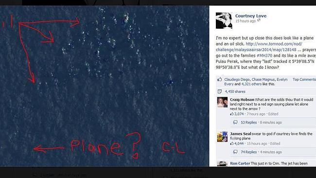
Authorities have also asked people to search through satellite images to see if they can find any answers.
Experts from British company Inmarsat, plus members of the French team who located the missing Air France jet from 2009 have all joined the efforts from the Malaysian government, Chinese government, Interpol and the FBI.

So with all this gear, why haven’t we found MH370?
If it is in the ocean the planes can only look over so much water at once and even with advanced tech like the sound detectors, there is too much noise from other boats in the region to hear the faint ping from the black box. The water may also be too deep for the electro-optic scanners to be able to find the planes wreckage.
Satellites at the moment seem to be our most helpful indicator, helping narrow the search areas, but they too are limited. If the plane is at the bottom of the sea or hiding in an old World War II bunker, the satellites will be about as useful as Courtney Love locating the missing plane.