
Ethiopia forced to pull down map after ‘unacceptable mistake’ spotted on social media
An official government map of Africa has been pulled down, after somebody noticed a bizarre “mistake” that sent social media into meltdown.

With a passing glance, you might not think there was anything offensive about a map of Africa posted on the Ethiopia’s foreign ministry last week.
However, eagled-eyed critics on social media have begun a major backlash over the colourful graphic which appears to have wiped a neighbouring nation — Somalia — off the face of the earth.
Can you spot Somalia on this map? https://t.co/qHO1HQXlQm pic.twitter.com/KVZs9A9iD0
— Harun Maruf (@HarunMaruf) May 26, 2019
Instead it shows it’s eastern neighbour incorporated into Ethiopia’s own borders, with the self-declared territory of Somaliland as an independent country.
Ethiopia’s foreign ministry has apologised and pulled the map — which it says “crept” on to the website — down, adding that it was “wrong and unacceptable”.
“We have noticed that a wrong and unacceptable image of the Map of Africa has crept in on the website of the Ministry of Foreign of (sic) Affairs of the Federal Democratic Republic of Ethiopia,” a government statement reads.

“Upon becoming aware of the matter we have immediately removed it from our website.
“We sincerely regret for (sic) for any confusion and misunderstanding this incident might have caused.”
However, many on social media accused the Ethiopian government of deliberately provoking Somalia — as the two nations have long been rivals and have fought border wars since 1964.
Some suggested the map showed Ethiopia’s true feelings towards its neighbours — suggesting it wants to annex Somalia — and some even hit back with maps of their own.
Somali Democratic Republic
— Hareed abass Nour (@hareed_Abass) May 26, 2019
This is The accuracy Map of Our country Somalia.#Great_Somalia #Somaliwayn pic.twitter.com/M9HSYOjAgn
There it is. Fixed it for you. Now let’s move on to more serious issues than imaginary maps. 🕺🿠pic.twitter.com/jD84WtMAKL
— Dudishe (@MDudishe) May 26, 2019
Harun well done for exposing to the sleeping Somali political elite and public of the true intention of Our Neighbours Ethiopia. They harboured irredentist FP toward Somalia since Emperor Sellasie’s reign. They recognised from Barre’s mistakes of Mil annexation wouldn’t work. https://t.co/uxy4hQ0YtZ
— Bille (@MahamudBille) May 26, 2019
Despite the backlash, relations between the two countries is said to have improved since Ethiopia’s Prime Minister Abiy Ahmed came to power last year. He has sought to defuse tensions in the region.
Critics on social media also noticed that the map contained other bizarre errors. They pointed out that it also merged Republic of Congo and the Democratic Republic of Congo into one country, and showed South Sudan, which became independent in 2011, as the same country as Sudan.
The map has now been removed and replaced with a logo of the foreign ministry.
No Somalia, no South Sudan, Only one Congo, no Lesotho, no Swaziland🤪🤪 I hope the Habashi who draw this map was feeling drowsy.
— Abdirahman Abokor (@Abokor_Adams) May 26, 2019

State moves to ban social media for kids
One Australian state has revealed a proposal to ban children under the age of 14 from using social media.
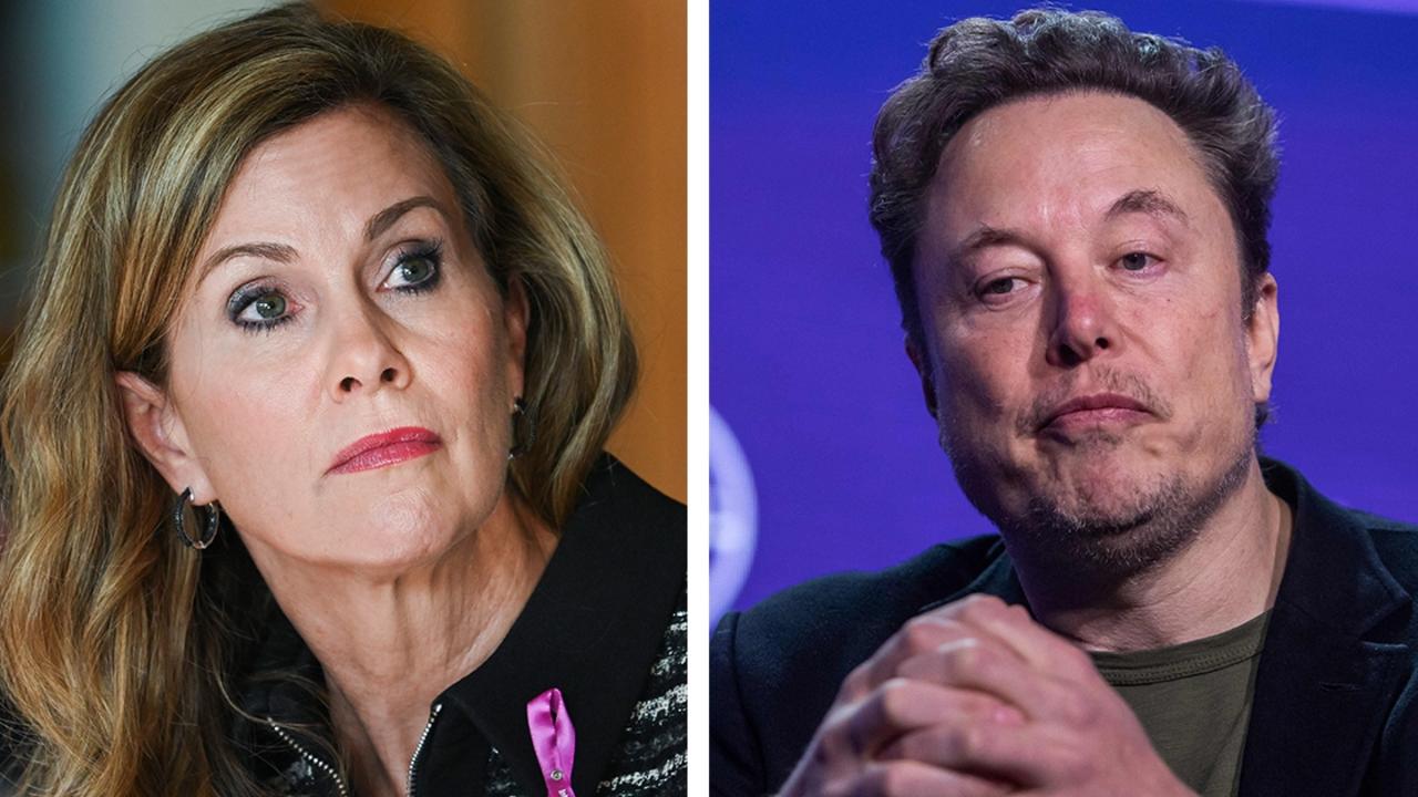
‘Death threats’ after Aussie’s clash with Musk
Australia’s eSafety commissioner Julie Inman Grant says she got ‘credible death threats’ after clashing with tech billionaire Elon Musk earlier this year.

Aussies point finger at ‘harmful’ TikTok
No country in the world has successfully mandated age restrictions for social media, but a new survey shows Australians still want the age limit raised.