
NSW mid-north coast is on high alert as wet weather system moves south
The weather system that smashed a NSW city is moving south with a worrying forecast putting new areas under threat.
Major flooding is set to worsen in parts of the Northern Rivers and mid-north coast, as the low pressure system smashing the east coast moves further south.
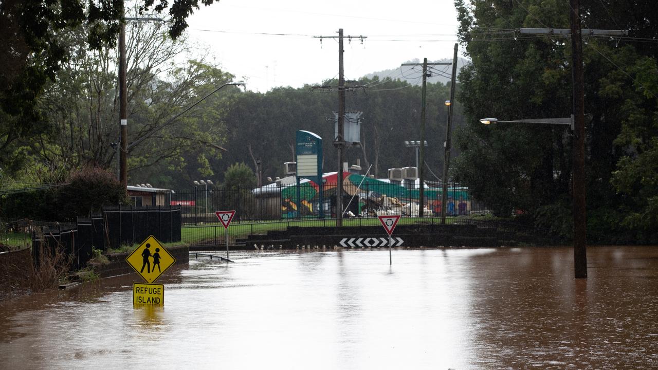
Evacuation orders were issued around 5.30pm on Wednesday evening for low-lying properties east of Grafton on the state’s mid-north coast.
Ulmarra, Southgate, Brushgrove and Cowper along the Clarence River were all ordered to get out before 10pm.
High-risk properties in North Macksville, south of Coffs Harbour, also received an immediate evacuation notice around 6:30pm.
There are currently 20 evacuation orders in place across the state affecting 27,000 people.
The Richmond, Clarence and Bellinger Rivers are already under major flood warnings with another 30 to 50mm of widespread rainfall forecast to hit the region.
Thunderstorms expected at Barrington Tops could bring up to 80mm of rain, according to the Bureau of Meteorology.

Over 6000 properties across the Northern Rivers are without power among them a number of SES facilities.
NSW SES Acting Commissioner, Daniel Austin told Thursday’s press conference that he is confident these issues have not hampered their response.
More than 500 people are staying in twenty evacuation centres set up across northern NSW.
As floodwaters begin to seep down from Lismore, the SES is closely monitoring the neighbouring towns of Coraki and Woodburn.
The Clarence and Richmond Rivers are both expected to peak later today, though flooding will continue even as rivers begin to subside
The Willson’s River peaked at 11.4m overnight in Lismore, as the search for a 55-year-old woman missing in floodwaters enters its second day.
Nowra aged care nurse Anita Brakel became trapped in her white Holden Captiva wagon around 9.50pm on Tuesday in Monaltrie, Lismore.
Police searched the area for several hours on Wednesday and will continue again on Thursday morning.
Rain has begun to ease above Lismore and floodwaters are expected to begin to subside, with potential to drop back below major flood levels by this afternoon.
Before record floods hit the region earlier this month bringing 14.37m of water, the flood peak for the Wilsons River was 12.17m.
When floodwaters overtopped the levee on Wednesday morning, the town’s flood sirens did not sound and a faulty water level gauge caused problems due to flood damage earlier this month.
It was the tipping point for many residents who were prematurely given the all clear to return home on Tuesday evening before being abruptly woken to fresh evacuation orders in the early hours of Wednesday morning.
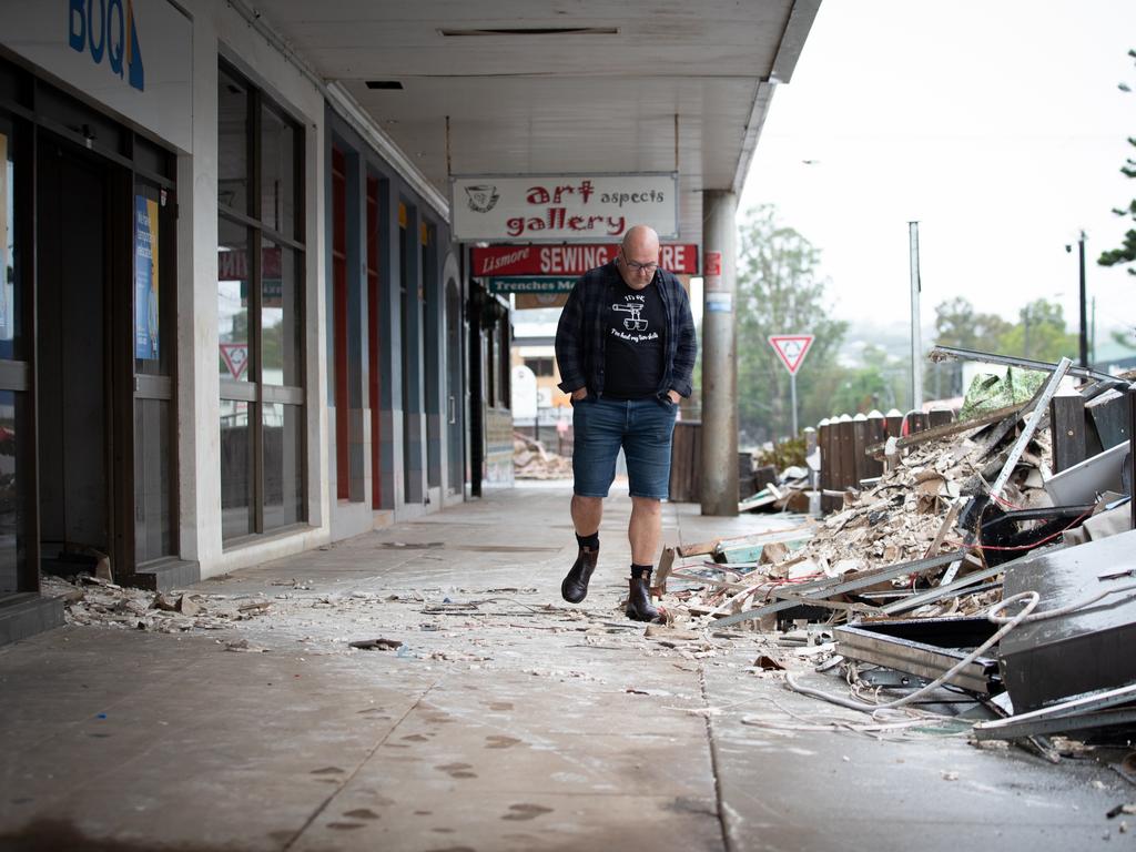
Lismore Mayor Steve Krieg spoke with Channel 7’s Sunrise on Thursday ahead of a long day of waiting for floodwaters to drop before the clean up begins.
“It’s really hard to explain all the emotions you go through but certainly anger is one of them,” he said.
NSW SES Assistant Commissioner Nicole Hogan defended the agency’s decision to call off the evacuation orders before reinstating warnings.
“The information provided to the SES and also in working with our partners and the locals there, a decision was made to life the evacuation order – there was a sound decision,” she told the ABC on Thursday.
Mr Austin said he still believed the SES had made the right call.
Emergency Services Minister Steph Cooke said the emergency services are doing “the best they can” but she welcomed an independent inquiry into the response.
NSW SES conducted 55 flood rescues in the past 24 hours and responded to more than 500 requests for assistance since Monday morning.
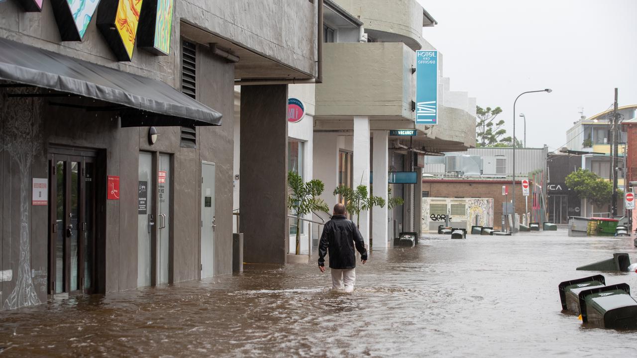
In Byron Bay, floodwaters started to subside on Wednesday afternoon and the community has begun the massive clean-up operation.
Ballina recorded a whopping 900mm of rain in the last week and the popular tourist destination copped 330mm on Wednesday alone.
“It’s the first time that Byron has been affected like this,” Byron Shire Mayor Michael Lyon told Sunrise.
Strong and gusty winds are forecast for coastal regions with residents warned saturated soils may cause falling trees and landslips in the next 24 hours.
The weather system is expected to move further south impacting Sydney and the south coast towards the end of the week.
Abnormally high tides and damaging surf are also forecast for most of east coast NSW from Kempsey on the Mid-North Coast down past Eden on the Victorian border.
The Bureau of Meteorology’s Dean Narramore said the major concern was high tides and coastal erosion through to Friday.
For Sydney, wet conditions are expected throughout Thursday and into Friday with showers and possible thunderstorms forecast to bring at least 30mm of rain before the weekend.
Read related topics:Weather

More flights axed, chaos as storm shifts
Flights have been cancelled, thousands remain in the dark and commuters face ongoing disruptions amid a freak storm – equivalent to a category 1 cyclone – in NSW.
Read more

‘Diabolical’: Fury as mansions swallowed up
A row of waterfront mansions are close to collapsing into the ocean as massive swell erodes the beach. One fed-up homeowner says it exposes a “diabolical” failure.
Read more

If you live here, work from home today
Millions of Aussies have been told to stay home and avoid travelling if necessary after a freak “cyclone bomb” sparked commuter chaos and led to services being cancelled.
Read more