
‘Wild ride’ as triple whammy of cold fronts set to hit southern Australia
Strap yourself in. The first of a triple whammy of fierce cold fronts hits today bringing damaging winds, chilly temperatures and rain.


The first of a trio of powerful Antarctic cold fronts is set to sweep into southern parts of Australia from later this afternoon bringing treacherous conditions, dropping the mercury and potentially dumping more than 100mm of rain.
The Bureau of Meteorology issued severe weather warnings this morning for much of South Australia, Victoria and Tasmania.
Adelaide is first in the firing line from the cold front triple whammy. It will begin to feel the effects this afternoon. SA’s capital could see strong to damaging winds averaging 50-70km/h and gusts in excess of 90km/h.
Next, it’s Victoria’s turn with damaging winds of up to 70km/h and gusts of about 100km/h on higher ground and coastal areas, beginning overnight. Tasmania is also in the cold front’s path.
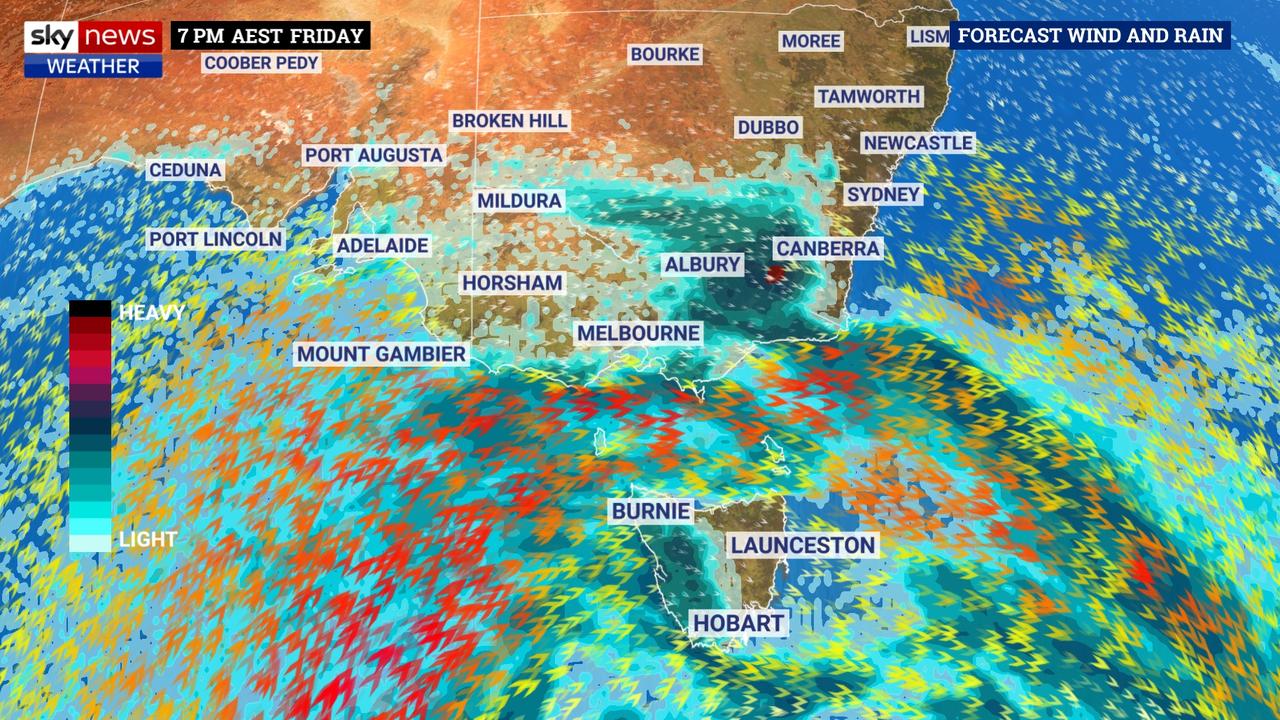
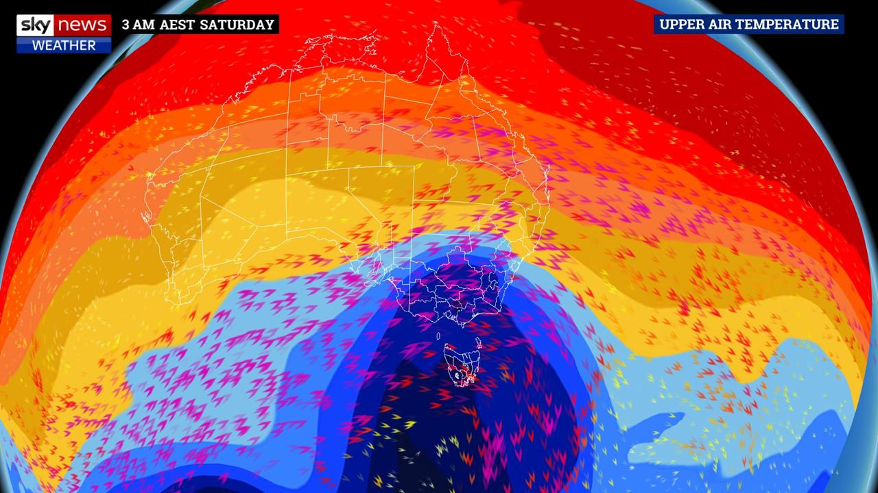
Then an even fiercer front follows through on Friday with the third polar pulse making its presence felt more in Tasmania towards the end of the weekend.
“Southeast Australia is in for a wild ride with many big fronts coming through this week and that will see temperatures drop markedly,” Sky News Weather channel meteorologist Rob Sharpe said.
“We’ll also see rain, damaging winds and heavy snow and blizzards.”
As the first wave passes, there will be a brief lull. But don’t be fooled — the next front is just behind.
Severe Weather Warning for #Victoria is now updated: Locally destructive winds added for the alpine peaks, and the Central district has been included for damaging winds. For the most recent warning head to https://t.co/Bhs3HIafLo pic.twitter.com/Upvcmkj9L2
— Bureau of Meteorology, Victoria (@BOM_Vic) July 10, 2019
Damaging N to NW winds, averaging 60 to 70 km/h with peak gusts in excess of 100 km/h are likely about northern, central, western and eastern parts of #Tasmania this afternoon and evening.#weather #forecast
— Bureau of Meteorology, Tasmania (@BOM_Tas) July 10, 2019
Other #warnings at: https://t.co/NHL3HY0zFO pic.twitter.com/ymGamicsBg
Adelaide could see up to 15mm of rain today with gusty conditions. Maximum temperatures of about 15C are forecast, with lows bottoming out about 8C later in the week.
Melbourne won’t be as wet, and the rain won’t arrive until later today. But there could still be showers every day. Highs of about 13-15C, with the mercury dropping as low as 7C, are forecast. Winds will whip up to 40km/h today and 35km/h for the rest of the week.
It’s going to be windy in Tassie as well, and cold too. A high of 15C today will fall to 10C on Saturday with a low of just 4C the same morning in Hobart. Showers are forecast from today. It will be very wet on the west coast with 150mm of rain potentially falling on Strahan from today to Sunday.
Canberra could see windy conditions and showers from tomorrow onwards. Highs of about 10C are expected and lows below freezing.
Sydney should escape much of the weather drama. It will be mostly sunny in the Harbour City with highs of 19C and lows of between 6 and 9C.
Clear skies are forecast in Brisbane with highs of 24C but there will be chilly mornings, going down to about 10C. Darwin will reach 31C most days with sun and some cloud.
Perth will get some relief from the rain that has been punishing the city all winter. Partly cloudy days are forecast in the WA capital with highs of 19C and lows of between 6 and 9C.

Hurricane destroys America’s largest home
America’s largest home was caught in the middle of Hurricane Helene. The sprawling estate’s owners have revealed just how bad the damage is.
‘Under cover’: Aussie state’s brutal forecast
One Australian state could be battered with hailstones, storms and damaging winds as a series of cold fronts move through.
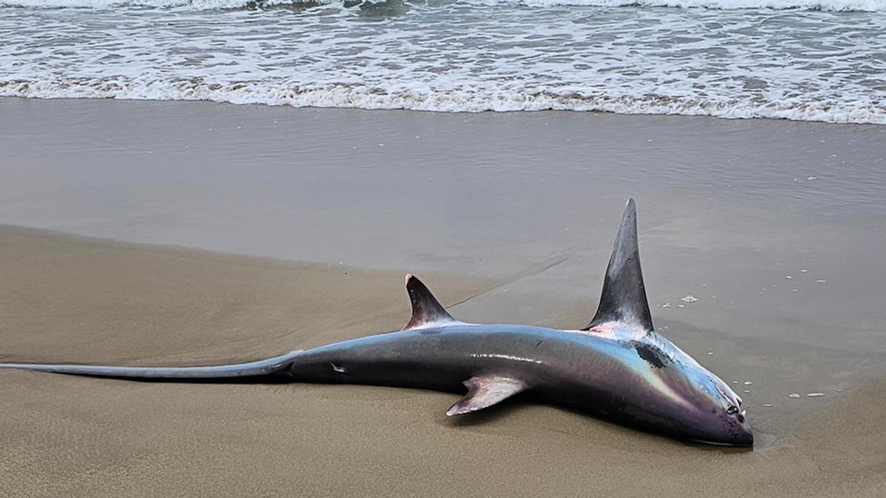
Shock discovery at popular Aussie beach
Beachgoers were shocked to discover a near mythical beast had washed ashore at a popular beach.