
West Australian rain bomb to hit east coast, up to 50mm of rain coming
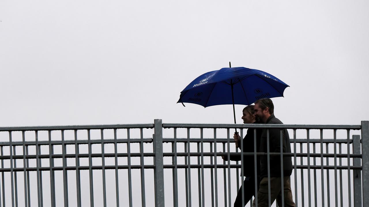
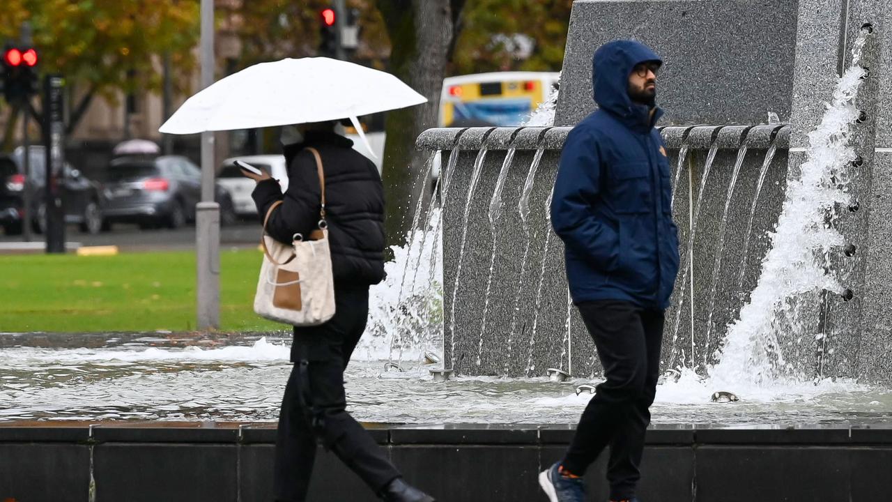
People in states lashed by rain and thunderstorms are hoping for the end of the wild weather, but the forecast is dampening plans.

People in states lashed by rain and thunderstorms are hoping for the end of the wild weather, but the forecast is dampening plans for anyone wanting to spend time outdoors.
After the second driest May on record, the start of winter has brought heavy rainfall to both Western Australia and Australia’s east coast.
With a cold front on the way from Western Australia, residents in NSW, Victoria and South Australia and are being urged to ready their umbrellas for as much as 40mm more rain in the coming days.
#Flashflooding Never thought I’d see this sight in Perth… Heavy rain smashing parts of Perth’s northern coastal suburbs this arvo. @perthnowpic.twitter.com/LbNVUCaZ6d
— Christopher Tan (@christophert77) May 31, 2023
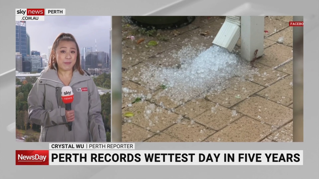
WA has had the earliest and heaviest rainfall so far, with Perth copping more than 71mm on Sunday night – breaking a five-year record for the wettest day in the city.
The state also experienced around 17,000 lightning strikes during the storms, with 450 strikes within 50km of Perth.
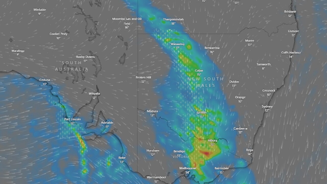
The Bureau of Meteorology said more than 50mm of rain fell in northern Tasmania, parts of Victoria, the North Queensland coast, northwestern NSW and northeastern South Australia.
A warning has been issued for parts of NSW, with isolated thunderstorms forecast in the west of the state.
Heavy rainfall and damaging winds are predicted for Tuesday and Wednesday.
Thunderstorms forecast for NSW 06/06 and 07/06. Isolated thunderstorms are possible in the west today and tomorrow. Some thunderstorms may become severe with a risk of LOCALISED HEAVY FALLS and DAMAGING WIND GUST (>90 km/h). Monitor latest warning at https://t.co/Ss766eSCrLpic.twitter.com/PlBvNFhefY
— Bureau of Meteorology, New South Wales (@BOM_NSW) June 6, 2023
Sydneysiders can expect a mostly dry day and light winds on Wednesday, but there’s a high chance of showers on Thursday morning.
Snow is also predicted in the NSW Alps above 1600m on Friday
Western and central parts of Victoria are bracing for further rainfall and winds, but the cold front is expected to ease across the state on Thursday.
Snow has also been predicted in high areas in the state, with heavy thunderstorms in the north.
Up to 15mm of rain will fall in Melbourne on Wednesday and Thursday, with winds of up to 45km/h slightly easing on Thursday.
âš ï¸A Severe Weather Warning has been issued for heavy rainfall and damaging winds for parts of western and central Victoria for Wednesday: https://t.co/HLs2UYFQyQâš ï¸ pic.twitter.com/rG1m83JiAi
— Bureau of Meteorology, Victoria (@BOM_Vic) June 6, 2023
South Australia has experienced a warmer start to winter, with days of more than 24C and sunny conditions.
But the weather is set to change on Wednesday, with up to 20mm of rain forecast for Adelaide.
The maximum 23 degree temperature on Tuesday will drop to 16 degrees on Friday, with rain forecast for the rest of the week.
Thunderstorms are predicted for the far north of the state on Thursday, and up to 40mm of rain could fall in southern agricultural regions.

‘Sudden jolt’: Earthquake rocks state
Residents living hundreds of kilometres away reported feeling the tremor, with one “legit confused if something hit the building or not”.

‘Entire coastline’ at risk in wild weather
Experts warn Aussies in several states are at risk as blistering winds, dangerous surf and snow blast through.

‘Heat dome’: Century-high weather warning
A record-shattering “heat dome” is barrelling towards 150 million people, with temperatures fierce enough to lift cars off the ground.