
‘Well below June average’: Freezing temperatures rip through parts of Queensland
Temperatures in one state are dropping to “well below the June average”, with some regions experiencing their lowest numbers in more than 100 years.
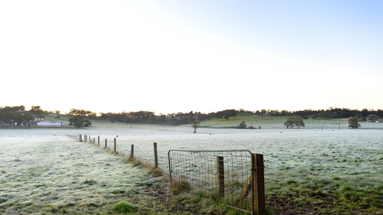
The sunshine state is bracing for a “well below June average” cold snap as temperatures drop to the lowest they’ve been at this time of year in more than a century.
The Bureau of Meteorology has warned residents in southeast Queensland of frosty mornings as single-digit temperatures are forecast throughout June.
Meteorologist Helen Reid told NCA NewsWire that the icy temperatures were typically reserved for later in the month, labelling the cold snap “well below the June average”.
“It‘s usually the last week of June that we get temperatures as cold as this, so it’s unusual to have it this cold at the start of June,” she said.
“We‘re still looking at temperatures well below the June average.”
Winter is already present in southern Queensland. This week cool, dry air will make its way across the north of #QLDweather. Temperatures will be well below average for daytime and overnight. Frosty conditions expected for the southern interior. Details https://t.co/8QnIc7aRJZpic.twitter.com/s10Z2pMrZe
— Bureau of Meteorology, Queensland (@BOM_Qld) June 7, 2022
Inland towns in the state’s southeast – such as Kilroy and Roma – have been hit with morning temperatures of 0.2 and 0.6 degrees, while conditions in the Darling Downs dipped to 2C
“The coldest parts (of the state) were the Darling Downs, not up on the Main Range but just down on the flat country there, with some areas sitting at one or two degrees this morning.”
According to the bureau, from June 11 to 17, there is only a 3 per cent chance that temperatures will exceed 9C and a 24 per cent chance temperatures will remain unusually cool in the Western Downs region.
The bureau said Queenslanders can expect to see frost in the mornings, but due to a “very dry air mass” there is no chance of snow.
“People might see white on the ground and the terms of frost in the mornings, particularly inland,” Ms Reid said.
“Snow requires some moisture in the air and it‘s a very dry air mass at the moment.”
Alongside the cold front affecting Tasmania, Victoria and NSW, the bitter mornings are driven by a ridge of high pressure that’s directing cold air up from central and South Australia.
“So it‘s working in combination with those cold fronts, bringing air up and then this is being carried by a south-westerly flow right into the western Queensland and right across the South as well,” Ms Reid said.
Queenslanders complaining of feeling colder than the temperature predictions are right, with a lack of humidity driving “that feeling that takes your breath away”.
“That dryness is adding to that sense of extra chill,” Ms Reid said.
The cold spell is expected to last at least a week, with another batch of activity sweeping through from the southern states next week.
“On Tuesday we can expect for those morning temperatures to be not quite as bitter because it‘s (the cold front) creeping back up to cold rather than extra chill,” Ms Reid said.


