
Fears of 2600km-long stormfront with severe warnings for parts of Queensland
Massive stretches of one Australian state are set to be hit by severe thunderstorms, with wild weather to continue across the rest of the week.
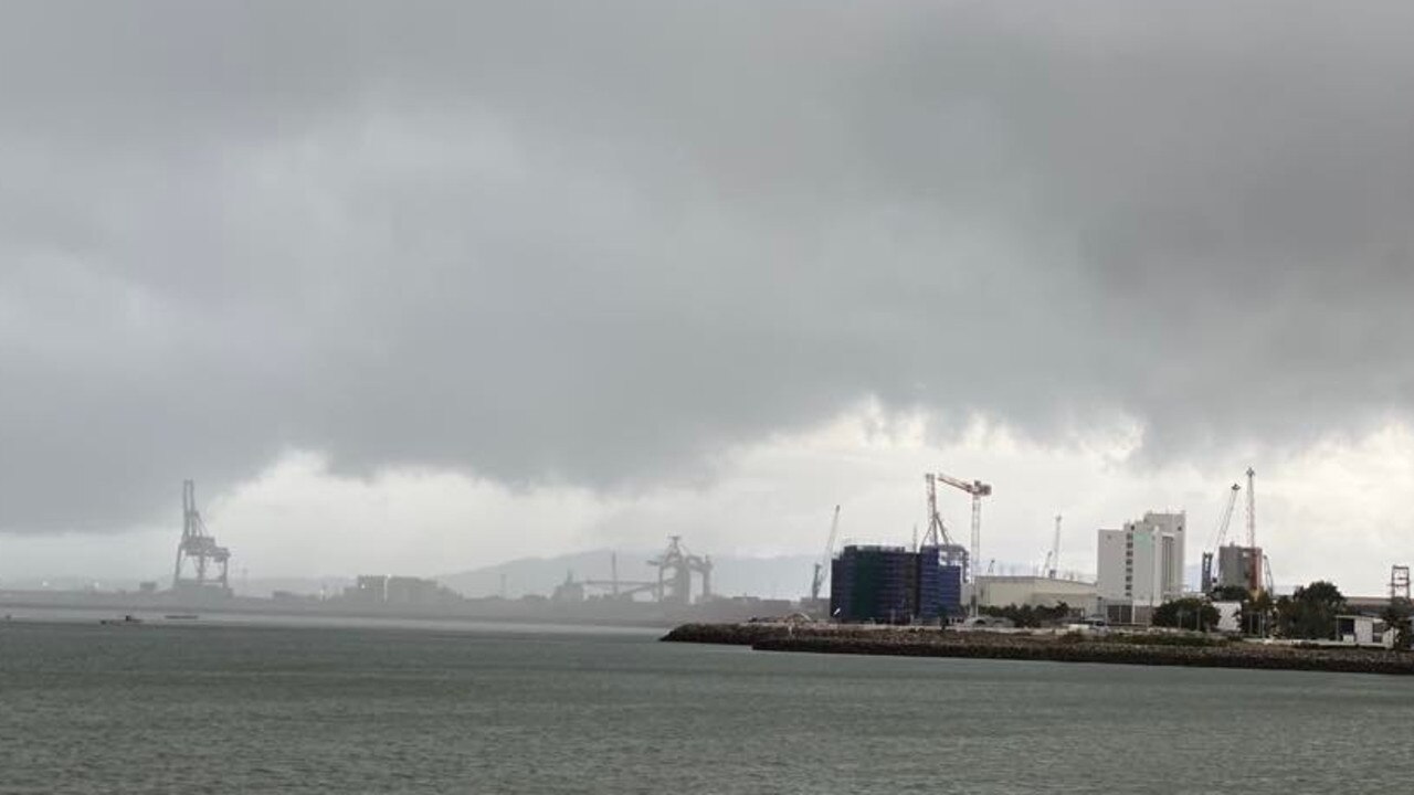
There are warnings of a severe stormfront which is set to hit broad parts of Queensland on Monday, with serious weather to continue into the rest of the week.
The Bureau of Meteorology is warning that thunderstorms are possible over large parts of eastern, central and northern Queensland.
Severe #thunderstorms are possible over a large area across eastern and northern Queensland today, especially inland and most notably #SEQ. Storms will continue threatening for much of this week. For the latest warnings please visit https://t.co/9Q79PZ4evj#Qldweatherpic.twitter.com/QJ4uVAkkIE
— Bureau of Meteorology, Queensland (@BOM_Qld) November 28, 2022
“Heavy rain is targeting the eastern part of the state and a broad area of low pressure is taking on tropical moisture from the Coral Sea,” Sky News Meteorologist Alison Osborne said about the wet weather.
“Moving into the middle of the week, a low pressure trough and low will fall off of Capricornia and that will reinforce gusty winds across a broad region.”
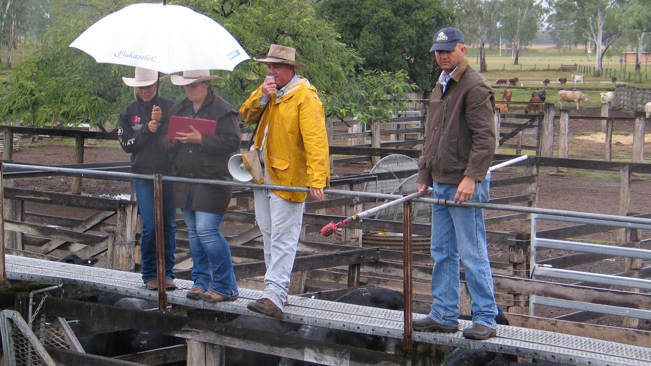
Parts of Queensland have experienced triple the average rainfall for November, with more rain forecast this week.
Bureau of Meteorology meteorologist Livio Regano said Queensland was hit with severe storms on Sunday, with some areas recording significant rainfall.
Townsville recorded about 160mm in 24 hours, which Mr Regano said was triple the average rainfall for the month in the tropics.
Sky News Meteorologist Rob Sharpe said Townsville recorded its heaviest rainfall for November in 22 years.
Other parts of the sunshine state recorded large rainfall totals, including the northern Brisbane suburb of Petrie, which saw about 70mm fall overnight.
The Sunshine Coast airport recorded its heaviest amount of rainfall in six months, with 76mm falling in 24 hours.
Mr Regano said the concern was the short bursts of rainfall in a short time across the state could lead to flash flooding.
“There’s two main waves, one already came through in the early afternoon and then later another is forecast today,” he told NCA NewsWire.
“It’ll come again today and could potentially be severe within the next few hours.”
Mr Regano said while it was hard to isolate where there the severe storms could strike, he warned residents from the north of Brisbane to Cairns should be prepared for wild weather over the coming days.
“It’s going to be a very volatile week, the next two days will be hot humid stormy but then Wednesday and Thursday will be cooler and windier and just rainier.
“It’s evenly spread, everyone is going to get wet.”
Mr Regano said a low pressure system on Wednesday will see thunderstorms form over central Queensland.
“Nobody will miss out - the next few days will be stormy, rain will be hit and miss hot and then a cool windy change is coming on Thursday,” he said.
Meanwhile, the Bureau forecasts a cool, west to south-westerly airstream is expected to persist over Victoria early in the week as a high pressure system moves to a position over The Bight.
The high will move eastwards later in the week to be centred east of Tasmania on Friday afternoon.
Parts of NSW are also set to be hit by thunderstorms on Monday, with the Mid North Coast, Northern Tablelands, and Northern Rivers set to be hit by large hail, heavy bursts of rain and strong winds, according to the BOM.
⛈ï¸Thunderstorms will become more active across parts of the #MidNorthCoast, #NorthernTablelands and #NorthernRivers this afternoon. Strong winds, large hail and heavy bursts of rain are possible. Monitor the radar and warning updates at https://t.co/Ss766eSCrLpic.twitter.com/uOZAim3NVT
— Bureau of Meteorology, New South Wales (@BOM_NSW) November 28, 2022
Sydneysiders can expect a dry week up until Friday, when showers are forecast.
Mr Sharpe said the bulk of the stormy weather has now passed most of the country.
“North east New South Wales could see some nasty storms today with damaging winds, heavy rain and even large hail a chance in northern New South Wales,” he said.
“(For the rest of the country) it looks like a dry week, probably a dry fortnight, in western New South Wales, Victoria and South Australia.”
Mr Sharpe said Western Australia is forecast to see two days of severe heat.
That heat is expected to continue, with an 80 per cent chance of above median maximum temperatures for much of the west coast to be recorded from January to March in 2023.
Flood warnings remain in place for a large part of New South Wales, with residents urged to contact SES for ongoing updates about any potential threats.

Snow predicted in surprising state
Residents of a state renowned for its beautiful beaches and tropical climate have been warned to prepare for potential snow this weekend.
Read more

200 species dead in ‘unprecedented’ disaster
Scientists have offered a grim outlook for Aussies hoping for an immediate solution to an ‘unprecedented’ disaster leaving the water at Aussie beaches toxic.
Read more

City soaked in ‘wettest day of year’
One Australian city has just experienced its wettest day of the year thanks to a wild and wet cold front that is still lingering in the state.
Read more