Thunderstorms threaten Queenslanders, including flood affected communities in far north
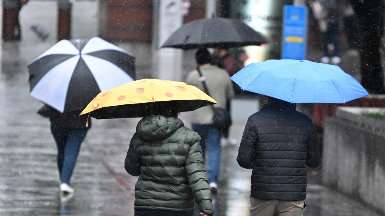
With severe thunderstorms threatening to ruin Christmas on the east coast, one state in particular will be plagued by rain.

It’s shaping up to be a wet lead up to Christmas for Queenslanders as the state is hit by more rain.
Thunderstorms are likely to plague the state’s east coast from the tip of Cape York to the border of NSW, with severe storms forecast for the southeast including Warrego, and parts of Darling Downs, the Bureau of Meteorology warns.
“Over inland central and southern districts storms may become severe, with a risk of damaging winds, heavy rain, and large hail,” the bureau warns.

There is some good news according to Sky News meteorologist Rob Sharpe, who says that Friday’s storms will be less intense than those seen the day before.
“We’re looking at severe thunderstorms in the forecast -- heavy rain, damaging winds, large hail they’re all a concern again for today, but I just don’t quite expect as many severe thunderstorms as what we saw yesterday,” he said.
Mr Sharpe described the slow moving storms of the last 24-hours as “nasty” with Toowoomba receiving 60mm of rain and the Sunshine Coast receiving 52mm.
Residents can expect wet weather from this set of storms up until midnight, but there’s likely to be little blue sky in the state until after Christmas.
Up to 15mm will fall in Brisbane on Friday, and while the showers will ease on Saturday, up to 20mm is likely to fall each day on Christmas Eve and day.

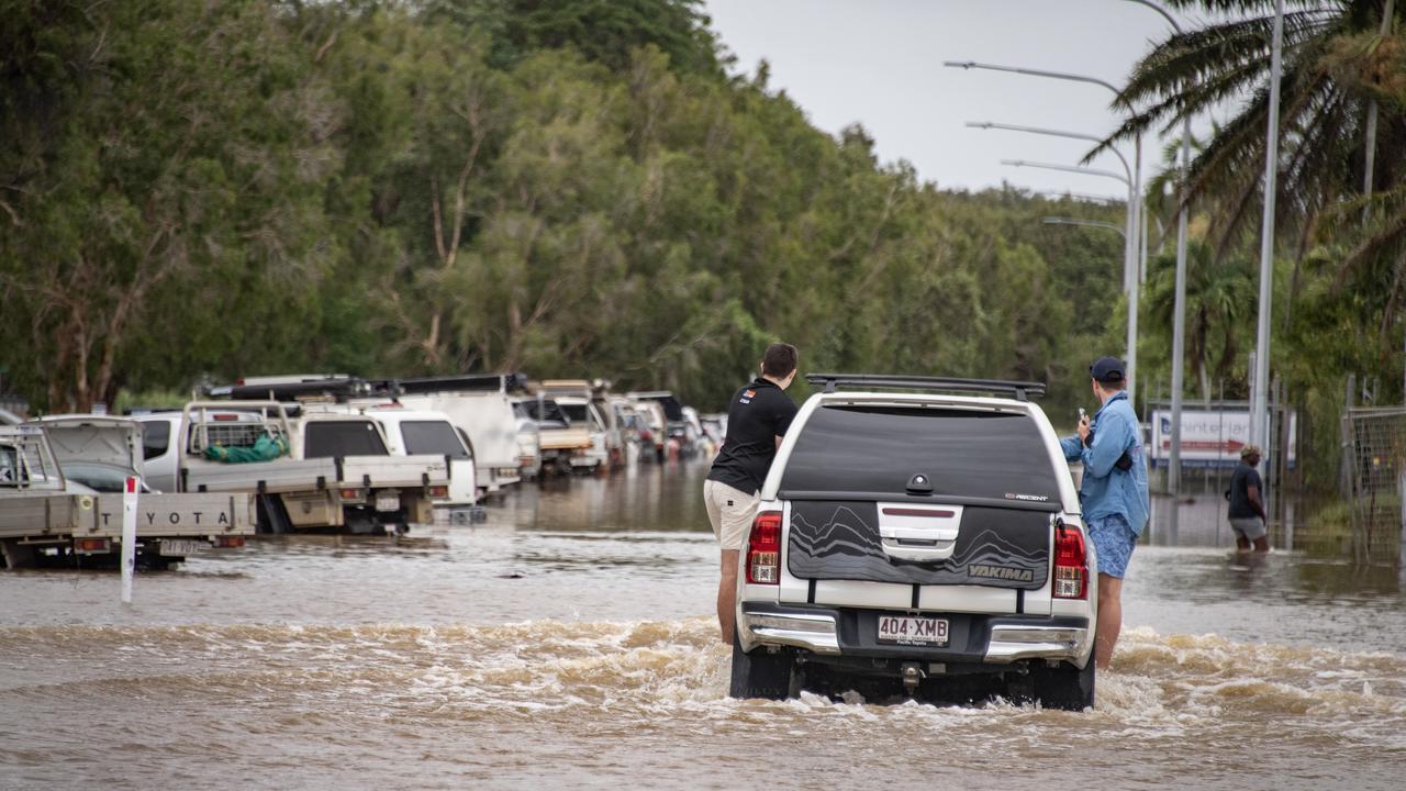
In the north, flood watches are still in place for parts of The Cape York Peninsula with the latest storms adding more water to already soaked ground.
Catchments where flooding will continue over several days include the Mitchell River, Stewart River, Normanby River, Jeannie River, and Endeavour river.
“Flooding is likely to continue during the week of Christmas, and is likely to be protracted with the arrival of upstream flood peaks,” the Bureau’s warning reads.
Also in the line of fire for a wet Christmas are Sydney, Melbourne and Canberra, with December 25 to see widespread showers and thunderstorms.
WeatherZone meteorologist Ben Domensino described the mix of a broad low pressure trough fed by moist north-easterly winds and a warm, humid air mass in the low levels of the atmosphere as the “ideal environment” for wet weather.

The addition of dry, upper level air will create an unstable atmosphere and aid hail development he said.
“There is potential for severe thunderstorms over parts of eastern and southeastern Australia on Christmas Day due to the ample instability and combination of moisture-laden air near the surface and much drier air aloft,” he said.
Sydney is set to stay dry until Christmas Eve where up to 8mm of rain is likely to fall and temperatures will reach a high of 27C, with similar conditions predicted on December 25.
Melburnians will have an even wetter Christmas with up to 25mm of rain falling and temperatures only reaching 23C degrees, with up to 9mm falling the day before.
By contrast, Perth and large areas of Australia’s west, north and centre will have a hot and dry Christmas, with Adelaide and Hobart also set to enjoy predominantly dry weather.


