Huge thunderstorm hits Sydney
SES volunteers were called out to 140 jobs across the state as wild thunderstorms passed over Greater Sydney causing peak hour chaos with hail, heavy rain and lightning.
Serious thunderstorms rolled into greater Sydney, with the entire city inundated with wild weather.
But SES member Jason Simms said fears of widespread storm carnage had not materialised with no reports of flooding or flood rescues by 9pm on Thursday.
He said the SES had fielded 140 call outs in the previous 36 hours across NSW, all in relation to heavy rainfall.
“Predominantly leaking roofs and roof damage from rainfall, and no flood rescues at all,” he said.
“It’s not uncommon when we have a big event, we could have a 1000 jobs in a day.”

He said some trees had fallen over roads, blocking traffic, and powerlines had gone down in a few locations, but nothing “really significant” had disrupted the city.
“In terms of severity, it’s not up there at all,” he said.
Bankstown recorded more than 20mm of rain in the afternoon and a photo captured by Nine News shows residents copped some serious damage from the wild weather, with at least one car engulfed by a fallen tree.
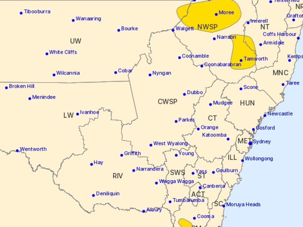
And NSW is not out of the woods just yet, with the Bureau of Meteorology warning severe thunderstorms continued to threaten parts of North West Slopes and Plains, the Snowy Mountains, Northern Tablelands and Upper Western zones.
“Severe thunderstorms are moving across northeastern and southern parts of the state this evening,” the warning, issued at 8.46pm, stated.
“Locations which may be affected include Moree, Warialda, Bellata and Collarenebri.”
COMMUTER CHAOS
Lightning also struck Sydney’s train network, causing commuter chaos right on peak hour.
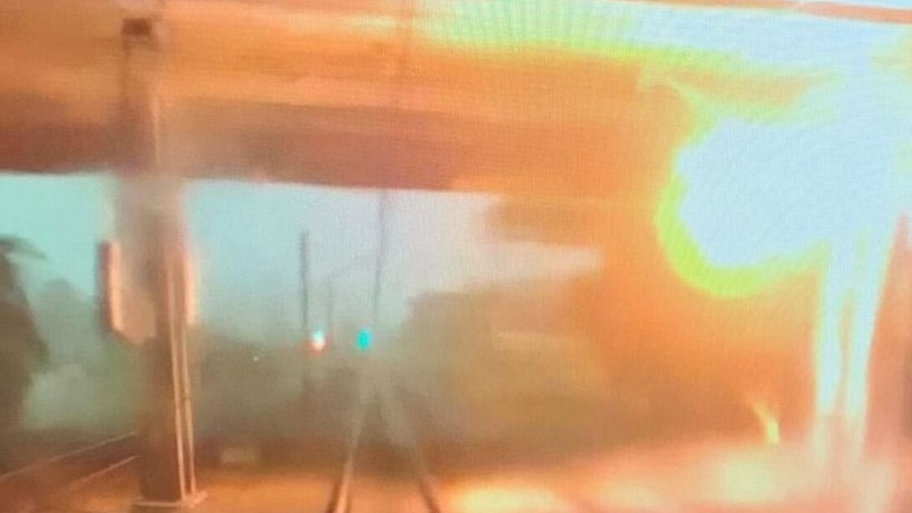
Buses replaced trains from Glenfield to Liverpool, in that direction only, on the T2 Inner West and Leppington Line and T5 Cumberland Line, after lightning strikes damaged overhead wiring at Casula.
The service resumed after several hours.
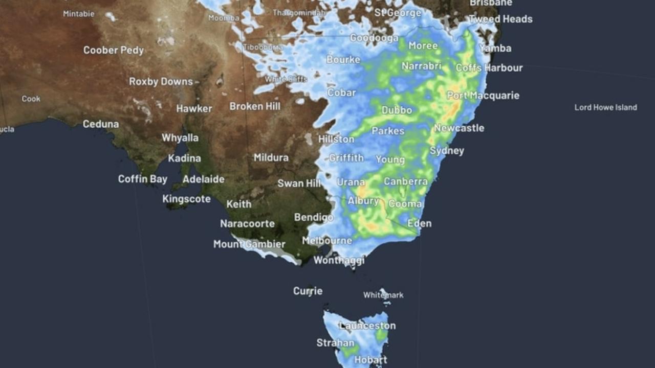
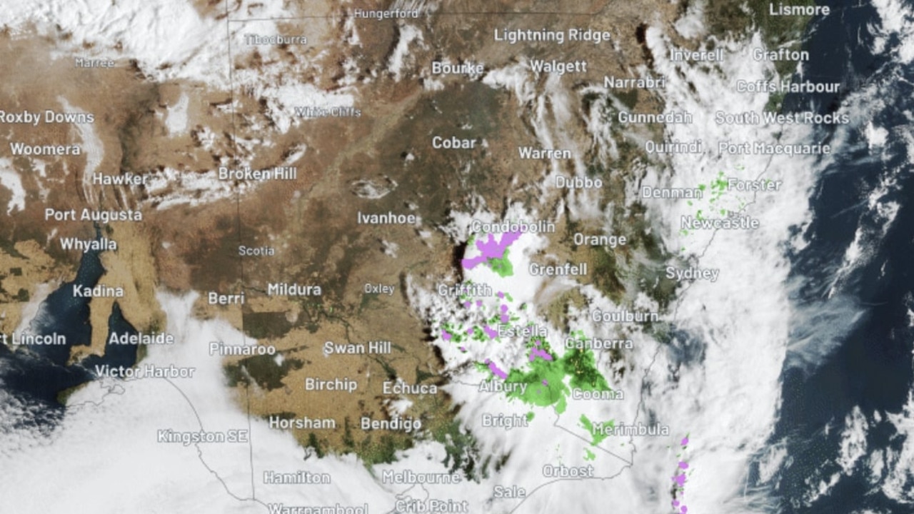
Residents across parts of NSW, the ACT and Victoria were put on storm alert on Thursday, with flash flooding possible.
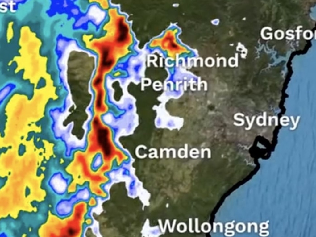
The slow moving thunderstorms began affecting those in northeast Victoria and southern NSW on Thursday morning, with the system worsening and moving north as the day continues.
The thunderstorms are being driven by a moisture-laden air mass interacting with an upper-level trough according to WeatherZone meteorologist Ben Domensino, who described it as an “ideal environment” for towering clouds.
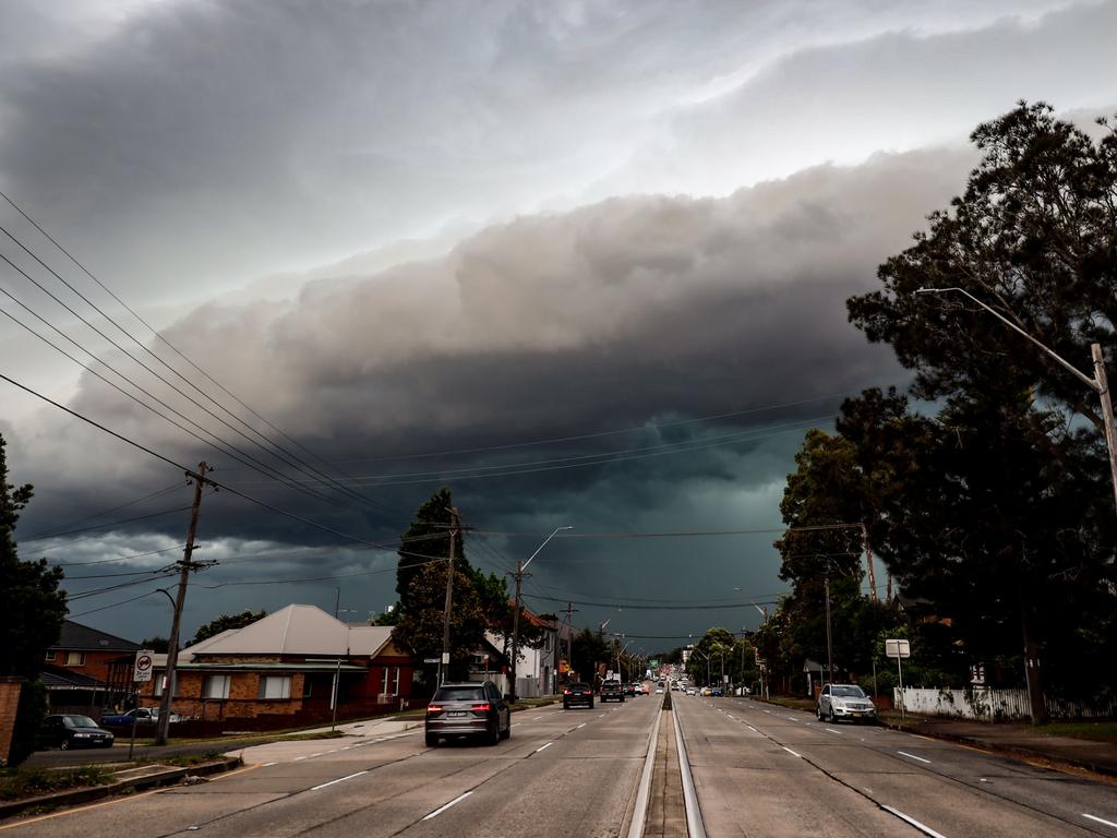
Sydney, Melbourne and Canberra were all in the firing line to receive rain, however the worst of the thunderstorms are likely to be contained to inland NSW.
“Any thunderstorms that form in Victoria, NSW and the ACT on Thursday will bring an increased risk of flash flooding due to weak steering winds causing the storms to be slow-moving,” Mr Domensino warned.
“While heavy rain is the main threat, large hail and damaging winds are also possible.”
Rain has plagued the southeast for the majority of the week, with inland regions of NSW and Victoria receiving a good soaking.
One hellava storm about to hit southern Sydney! pic.twitter.com/apGDILc9vD
— Mandy Gwan (@hunting_relos) November 9, 2023
Albury on the NSW/Vic border received 41mm of rain overnight, breaking a three-week dry spell, while Braidwood, east of Canberra, had its heaviest daily rainfall in a year with 31.6mm.
Sky News meteorologist Alison Osbourne warned that over 100mm could fall in areas north of Newcastle and bushfire zones in Queensland could also receive a shower.
“Particularly through fire affected areas it‘s good news as well, with widespread falls likely to exceed 25 to 30 millimetres,” she said.
Luckily, the majority of the rain will clear across areas south of Newcastle by Saturday, with temperatures to climb to 30C degrees in Sydney over the weekend.
Melbourne will have a much hotter Friday with 31C degrees before cooling off to 18C on Sunday.


