
Sydney, Melbourne weather: Antarctic air mass to lead to rain, snow, blizzards
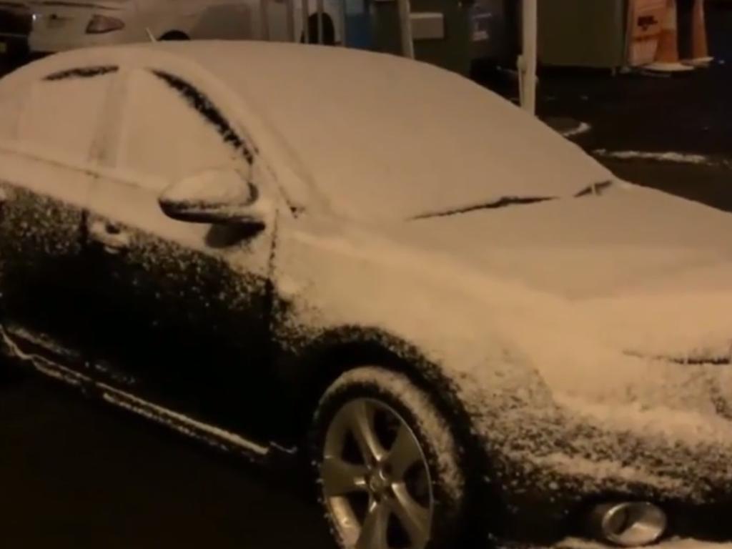
NSW is bracing for its “coldest day of the year”, with temperatures up to 10C below average as polar conditions continue to linger.

New South Wales is bracing for its “coldest day of the year” today, with temperatures sinking to 10C below average this weekend in parts of the state as an Antarctic air mass blasts the country’s east. Goulburn, north of Canberra, may not see the mercury reach double digits until next week.
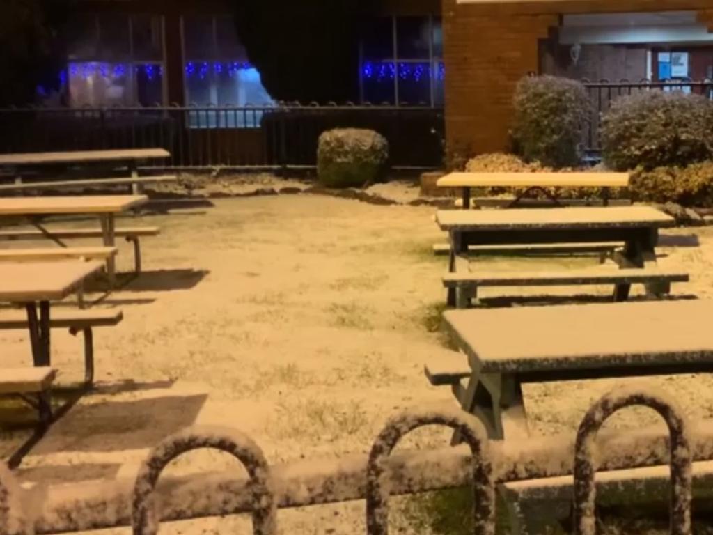
Expected widespread snowfall could see dozens of towns and cities experience flurries with up to 20mm of the white stuff falling in some places. Hail has already fallen in Adelaide.
A beautiful image captured by @nampix at Clarence in the Blue Mountains this morning as snow settles across the Gospers Fireground.
— NSW RFS (@NSWRFS) August 21, 2020
It’s going to be a cold and windy day so rug up and ensure that you keep anything flammable at least a metre from the heater. #nswrfs #winter #snow pic.twitter.com/2SOtgusQLx
This is the view I woke up to at the @HydroMajestic this morning 🌨â„ï¸ #bluemountains #snow pic.twitter.com/yrGeyVsZlL
— Lachy Mansell (@lachy_mansell) August 21, 2020
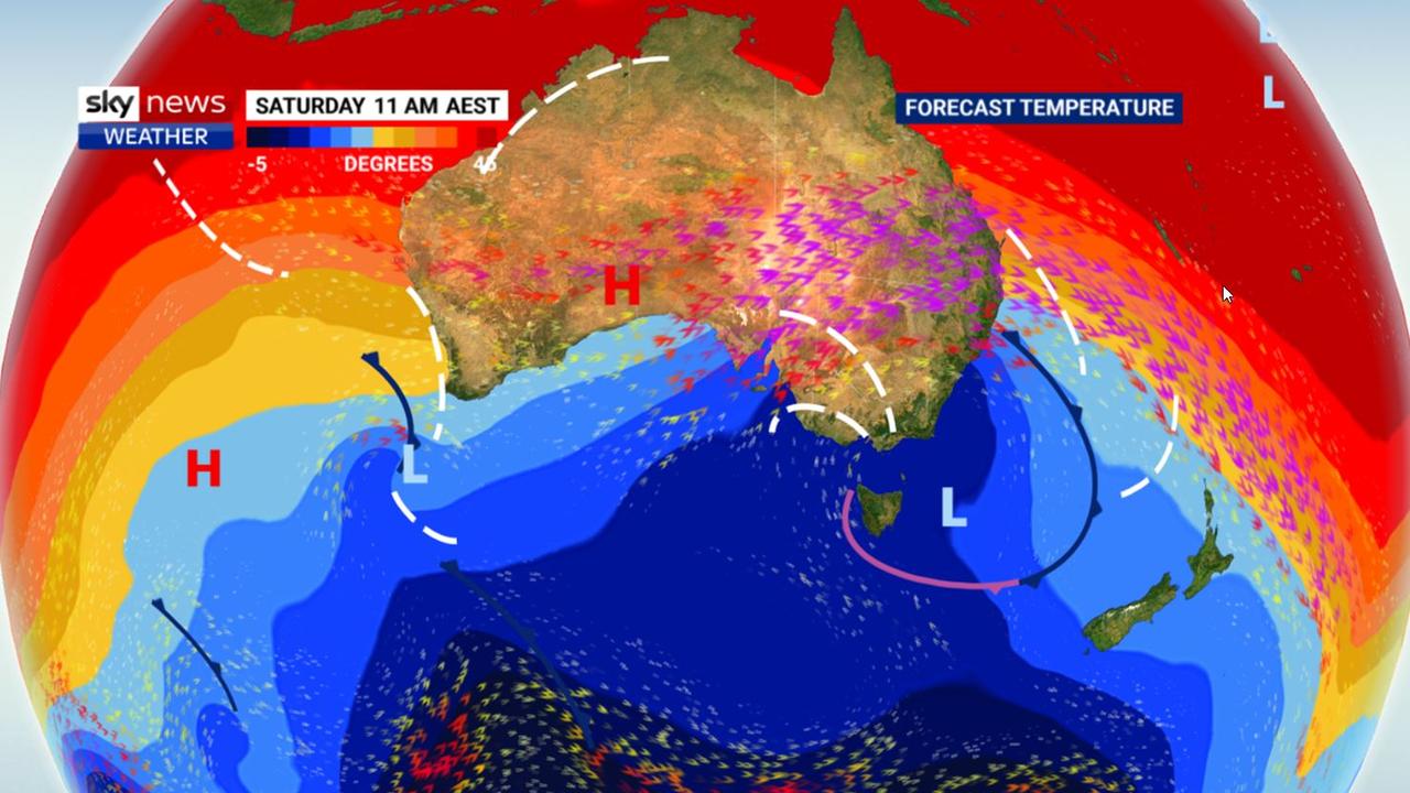
“A series of strong cold fronts and troughs will bring a cold blast to the southeast, with temperatures 2 to 8 degrees below average,” Bureau of Meteorology forecaster Diana Eadie told The Sydney Morning Herald.
“Saturday will be particularly cold for NSW and the ACT, likely the coldest day of the year – with strong winds making it feel even colder.”
“Many Australians will be waking up to snow this weekend,” said Sky News Weather meteorologist Tom Saunders.
Conditions were set to ease after today but forecasters have now said Sunday, too, could be notable for its cold conditions, snow, blizzards, heavy rain and damaging winds.
Snowing in Katoomba! pic.twitter.com/3evpSFz4Ss
— LJ Charleston (@LJCharleston) August 21, 2020
It will be a cold and windy weekend for many parts of NSW. Some winds could be strong enough to bring down trees and powerlines. Watch our video to see how your area could be impacted by #snow and winds as a cold front moves through NSW. #NSWweather @NSWSES pic.twitter.com/CxybszBwc6
— Bureau of Meteorology, New South Wales (@BOM_NSW) August 21, 2020
Cities and towns which should see #snow this weekend include #Armidale, #Guyra, #Orange, #Lithgow, #Bathurst, #Oberon, #Katoomba, #Crookwell, #Goulburn, #Cooma and #Jindabyne. @SkyWeatherAUS @SkyNewsAust pic.twitter.com/c1njhUpX0i
— Thomas Saunders (@TomSaundersSNW) August 20, 2020
Ahead of the cold weather will come the rain, with showers widespread on Friday as a front passes through.
“Then the main polar blast moves in. It’s time to rug up,” Mr Saunders said.
“A very cold air mass will drop temperatures well below average even for winter. On Saturday temperatures could be below 5C in the middle of the afternoon,” he added.
The snow is forecast to reach as low as 500 metres meaning Orange, the Southern Highlands, the Blue Mountains and even Canberra could see a flurry or two.
Hobart will see light showers and hail on Friday and then up to 35mm of rain across the weekend.
— Mollie Gorman (@_MollieGorman) August 21, 2020
Temperatures may only get as high as 9C on Saturday and dip down to 3C. Kunanyi/Mount Wellington, above the city, will see -4C at dawn and barely break 1C on Saturday and Sunday with a high chance of snow.
It will be a wet weekend for Melbourne with up to 10mm on Saturday and similar for Sunday. A high of 12C on both days and lows of 6C. The Alps could see blizzards as could the Snowies across the border with Thredbo at -5C on Saturday afternoon.
Canberra will see 7C on Saturday and 0C minimums. The best chance of snow is likely to be Saturday with a possible storm in the evening.
Sydney will sink down from its week of 20C plus maximums with a highs of 16-17C across the weekend and windy conditions on Saturday. Just a slight chance of rain.
Head inland though and just about any slope you see could be topped with powder. Orange could see as much as 20mm of snow this weekend.
Wagga, Goulburn and Yass could all fail to break 10C on Saturday.
It will be warmer in Brisbane with highs of 23C but windy on Saturday and Sunday. Overnight lows of 10-12C are expected.
Showers are possible for Perth but a relatively settled weekend with maximums of 20C and minimums of 9C. The north of WA could be unusually warm for winter.
There is a chance of rain in Adelaide just about every day with hail a possibility on Saturday. Highs of 13C with high single digits at daybreak.
It will be hot in Darwin with every chance the mercury will breach 35C on Sunday.

Millions in firing line of ‘significant’ system
A low-pressure system is rapidly building offshore, with Aussies in several states warned they will cop the brunt of the wild weather.
Read more

‘Most massive evacuation ever’ after quake
About 1.4 million people have been ordered to move to higher ground in what one country called “the most massive evacuation ever carried out”.
Read more

Worst yet to come as millions drenched
One Aussie state is expected to receive up to 150mm of rain within days, as its capital city sets a bleak winter record.
Read more