Superstorm tipped to lash Queensland as ex-cyclone Kirrily wreaks havoc
Parts of Queensland have been warned to bunker down as ex-cyclone Kirrily feeds fresh thunderstorms, sparking ‘significant risk’ for residents.
Ex-cyclone Kirrily is feeding severe thunderstorms in Queensland’s south east, sparking fears of a superstorm.
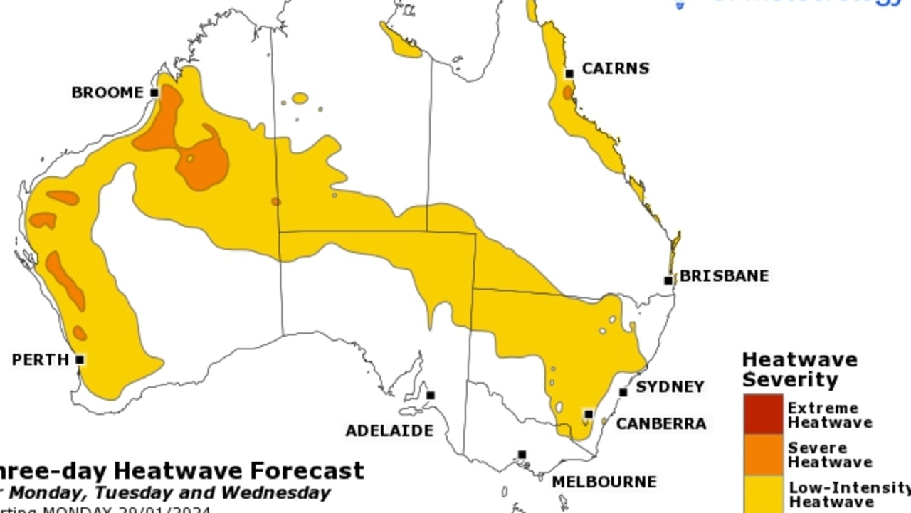
The state is in the grips of weather chaos, with heatwave conditions combining with thunderstorms in some parts, that are expected to last into mid-next week.
BoM senior meteorologist Miriam Bradbury said Kirrily was now a tropical low, generating persistent heavy falls near Mount Isa.
The ex-tropical cyclone brought 170mm of rain to Kirby and 90mm at Seymour Gap in the 24 hours to 9am on Sunday.
However, a trough pulling moisture from the ex-cyclone further south has sparked monster storms, with many locations in the state’s south east seeing more than 150mm of rain overnight and heavy rainfall expected to continue into next week.
The trough is not moving much, but “giving real energy into any showers and storms that develop, and giving them potential to bring heavy rainfall and flash flooding,” Ms Bradbury said.
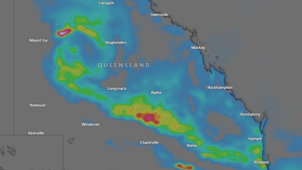
Of the areas affected, Glenora Road, Avocet and Mt Berryman Road were the worst hit, recording 243mm, 235mm and 234mm respectively.
Ms Bradbury said the wild weather would persist well into next week, but a “shift” on Wednesday would see the trough begin to move north, with heavy rains expected to continue battering central Queensland, but a reprieve to be granted in the state’s south east.
Ex-tropical cyclone Kirrily wreaked havoc on the state after it was downgraded from category three to category two on Thursday evening.
It thrashed Ingham and Townsville, leaving more than 115,000 residents without power.
While electricity has been restored for the majority of homes, Ergon Energy still has outages recorded for more than 20,000 premises.
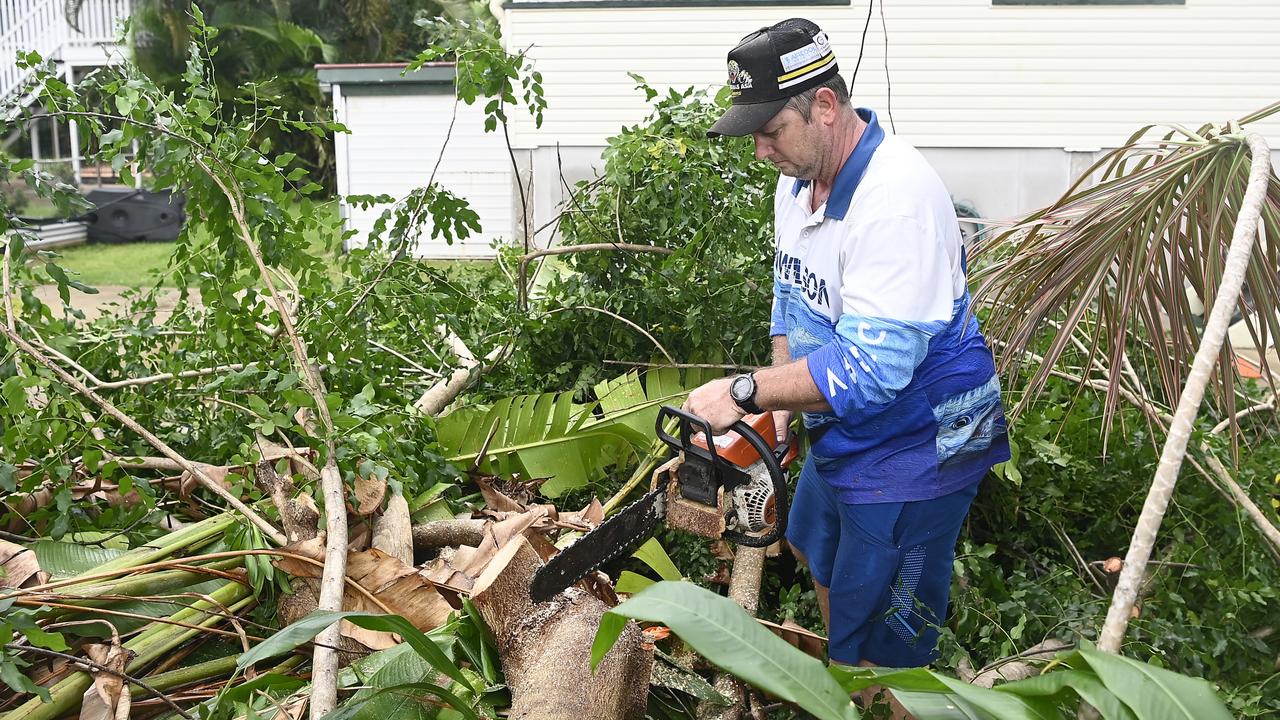
In a statement on Saturday, the energy provider said it intended to restore power to the vast majority of customers by Sunday night.
“We had 66,000 customers without power at the peak of the event across the impact zone and we hope to have a massive restoration effort almost done by Sunday night.
“It will be no mean feat given the scale of the disaster zone and damage sites, from Ingham to the Whitsunday region and west to Charters Towers,” General Manager Field Delivery Chris Hooper said.
“In Townsville alone, more than 50,000 customers lost power because of trees, branches and other wind-borne debris bringing down powerlines. More than 9,000 customers in the Burdekin also lost power as the cane-growing community copped it from Cyclone Kirrily.”
Mr Hooper told the Townsville Bulletin on Saturday it could take up to a week to have the power completely restored.
“There’s a lot of leafage, a lot of vegetation over powerlines.
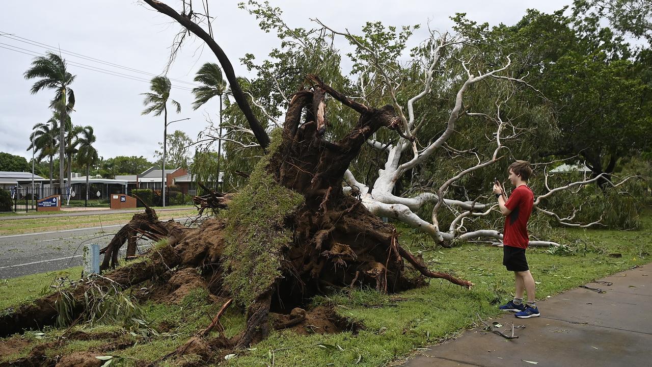
“We will expect prolonged outages in some rural areas outside of the (Townsville) CBD.”
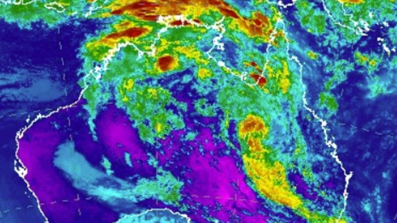
There are still several major flood warnings in place across the state, as Kirrily continues to bear down on central parts of the state, with the second group of storms also sparking fears of flash flooding.
There is a major flood warning in place for Laidley Creek, a moderate flood warning for the Bremer River and Warrill Creek, and a minor warning for Lockyer Creek.
A minor flood warning remains in place for the Herbert River.
Sydney
After sweating through a sizzling Australia Day, Sydney has had a reprieve from the sun with a mostly cloudy weekend and clearing showers.
The mercury is expected to peak at 27 degrees on Sunday, with partly cloudy conditions and possible evening showers.
Darwin
Darwin can expect a rainy and wet Sunday typical of the wet season.
Possible storms, heavy showers, and high temperatures are all forecast to lash the north on Sunday.
Temperatures are forecast to hit 30 degrees on Sunday
There is also a flood watch in place on Sunday for Barkly, Central Desert Region, Georgina and Eyre Creek areas.
Melbourne
Melbourne is set for a mild but mostly sunny Sunday, with temperatures on the climb over the coming days.
Sunday will peak at 24 degrees with partly cloudy conditions.
Canberra
Warm and mostly sunny conditions are expected in Canberra over the weekend, with a top of 28 expected on Sunday.
Very low chances of rain have been forecast and clouds are expected to clear in the afternoon.
Adelaide
Toastier conditions are expected on Sunday with a top of 28 degrees.
No rain is expected with the UV index to soar to 13, meaning sun protection is essential all weekend.
More Coverage
Perth
A rain-free Sunday is also expected for Perth, with sunny skies forecast.
A top of 28 degrees has been forecast for Sunday.


