‘September records could be challenged’: Rain and ‘gusty thunderstorms’ for WA as rain lashes country
September records could be broken in one state as the country prepares for even more rain across the week.

More September records could be broken as “gusty thunderstorms” are expected across Western Australia, as much of the country braces for more wet weather.
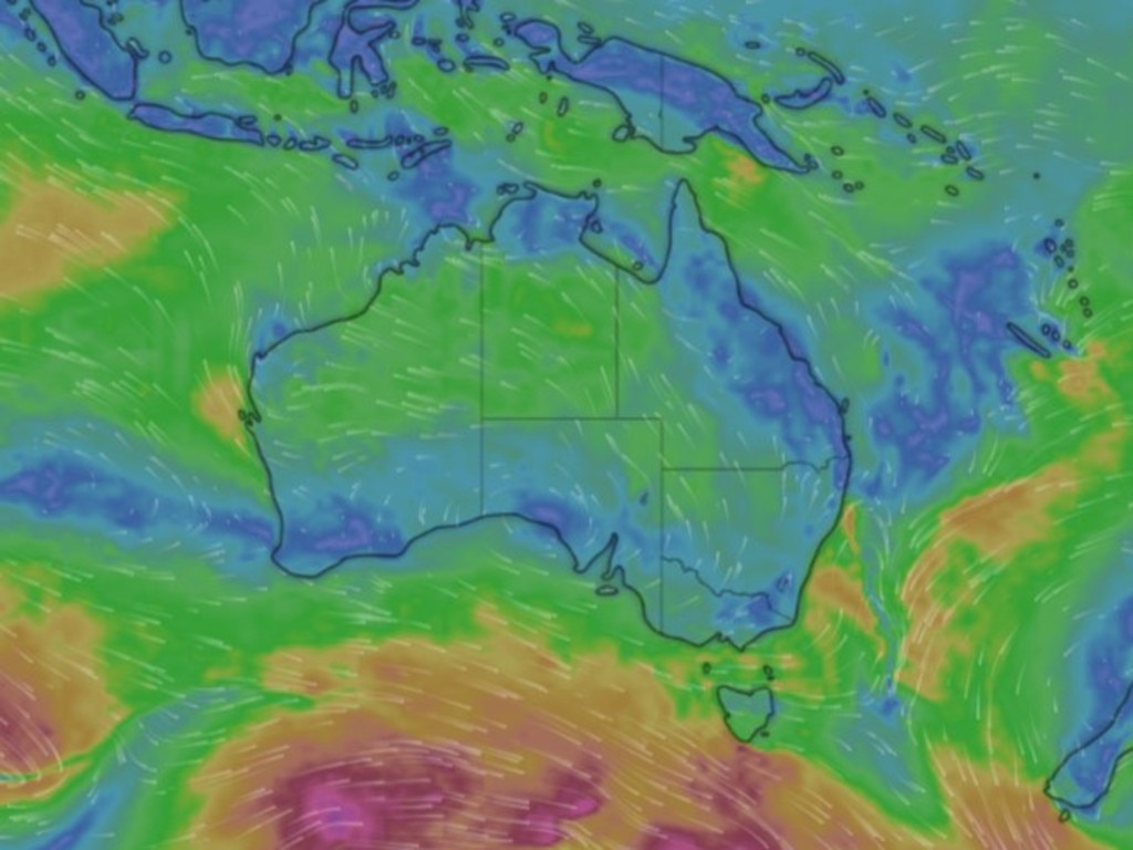
WA’s Pilbara, Gascoyne, Goldfields, southwest Kimberley, Interior and South West Land Division are forecast to experience showers and gusty thunderstorms heading into Wednesday, with wind to hit most parts of the state and the southwest, according to the Bureau of Meteorology.
Wind gusts between 80 and 90km/h could be felt across the state’s south and potentially Perth, according to Weatherzone.

Surf conditions are also set to be hazardous across the southwest coast on Wednesday.
Sky News Weather meteorologist Rob Sharp said “heavy falls” are anticipated across WA this week, with the potential for September records to be broken.
“For WA there’s potential for some 60mm falls through parts of the interior, so some September records could be challenged again as this system moves through,” Mr Sharp said.
“But for Perth, there’s finally some decent wet weather as well, with 20 or 30mm a pretty decent chance over the next few days as this front moves in.”
Perth is set to hit a high of 27C on Tuesday before the maximum temperature drops down by nearly 10C to 18C on Wednesday.
“For the west coast it’s warming up to 27 tomorrow, but then cooling off quickly with plenty of wet weather on Wednesday,” Mr Sharp said.
“A very high chance of showers and even a band of rain with that front coming across, dropping those temperatures with a lingering chance of showers through till Saturday.”
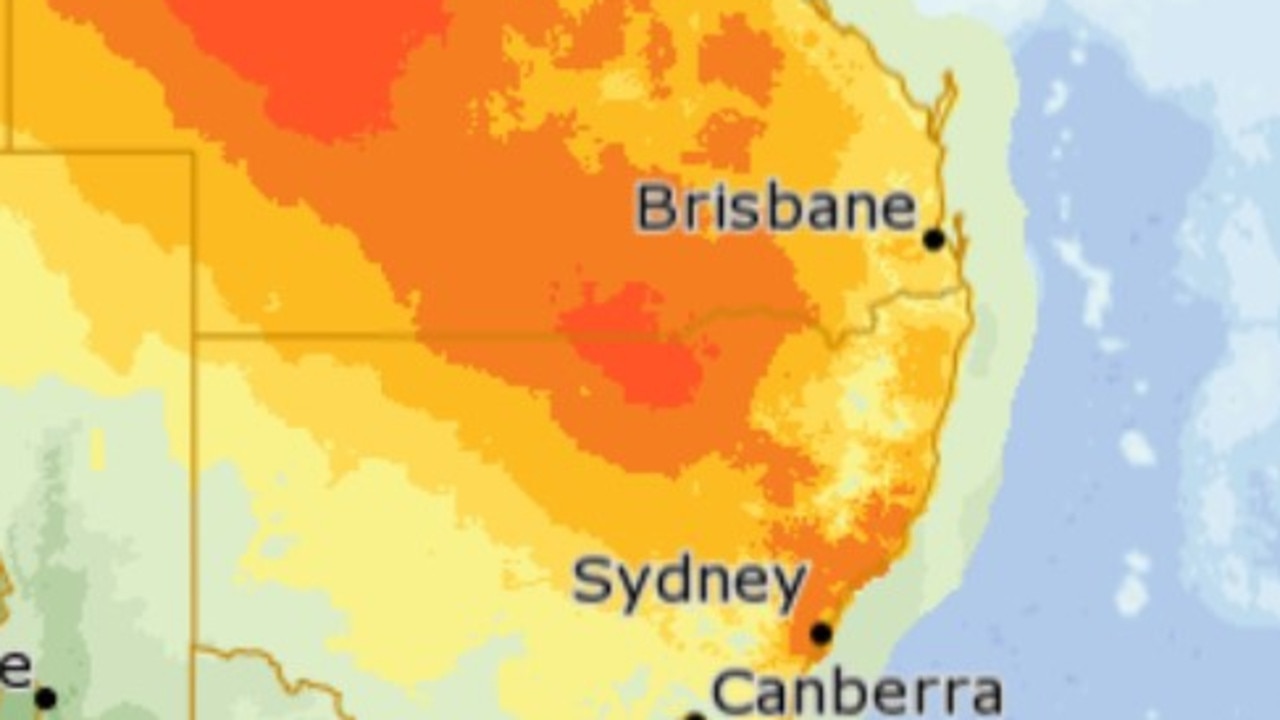
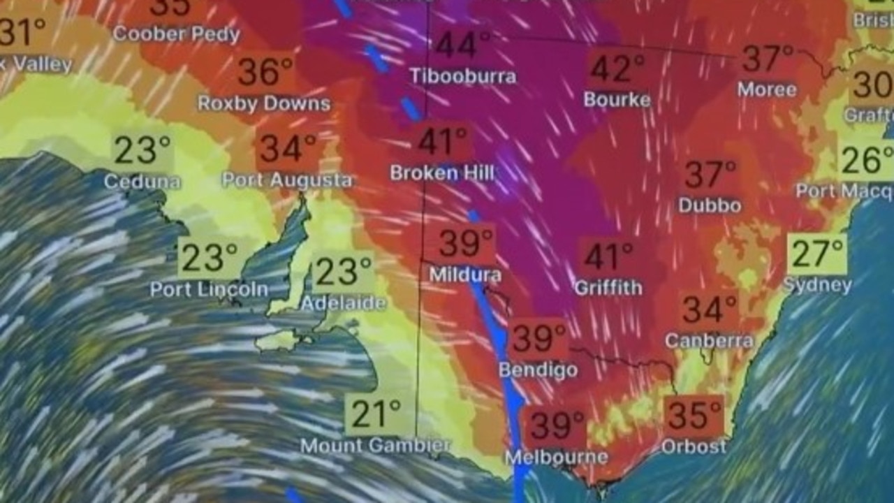
A heatwave is underway in Darwin, with maximum temperatures forecast between 35C and 36C throughout the entire week.
“Days and nights staying hotter than average right across the weekend, it should stay dry as well,” Mr Sharp said.
Rain is set to continue across NSW, with the potential for thunderstorms on Monday.
“We’re still seeing a parade of showers and thunderstorms sweeping up through the north coast and the northern ranges for today, and a little burst of showers in behind it as well, most likely for the central areas, through the middle of the day and the afternoon,” Mr Sharp said.
“And that will keep a lid on temperatures with those southerly winds that will be fairly blustery for the coastline, just below severe weather standards.”
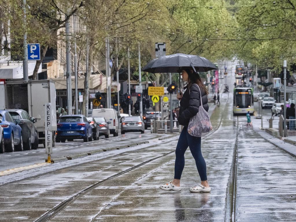
Melbourne is tipped to reach a sunny 25C on Thursday while Brisbane is set for a top of 31C on Sunday.
More Coverage
Adelaide is set to hit 26C on Thursday despite showers, while Hobart is expected to reach 21C on Thursday.
Canberra is set to reach a high of 22C on Tuesday and Friday.
It follows a wet weekend across the country, with Lismore recording nearly 150mm of rain through the weekend, marking it’s heaviest rainfall in 36 years.


