Major power stations ‘unavailable’ as heatwave worsens in NSW
People have been left without power as major power stations remain “unavailable” while a heatwave continues to sweep NSW.
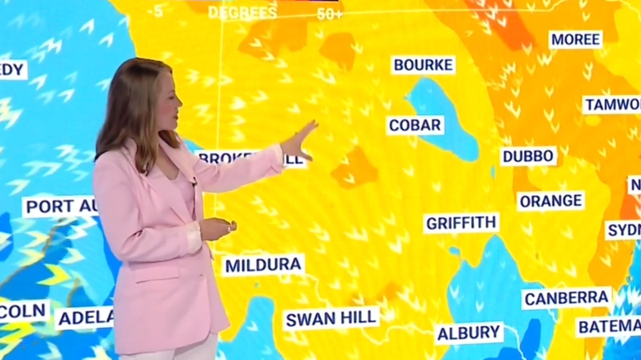
Major power stations have left people without power as NSW residents continue to swelter through a heatwave, with temperatures tipped to reach up to 39C across parts of the state.
Over the span of five days, eastern NSW has been subjected to a relentless heat spell, with residents experiencing temperatures of 35C, marking it the hottest spring in four years.
The Bureau of Meteorology has maintained its three-day severe heatwave warning for eastern NSW, including Sydney, Hunter, Illawarra, Mid North Coast, South Coast and Southern Tablelands Regions, with temperatures anticipated to soar 12C above seasonal averages on Wednesday.
Batemans Bay, Camden, Campbelltown, Hornsby, Liverpool Nowra, Penrith, Parramatta, Richmond and Wollongong are set to feel the brunt of the heat, with conditions in Sydney’s western suburbs expected to reach between 39-40C by 3pm on Wednesday.
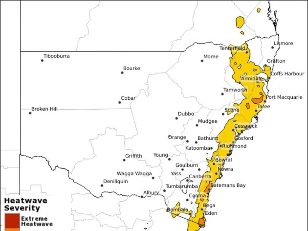
Millions of people have also been warned of possible power outages across the state, as the oppressive heatwave continue its chokehold, forcing people to stay inside and increase their energy supply to stay cool.
The Australian Energy Market Operator (AEMO) said major power stations were “unavailable” as of 11am Wednesday.
“AEMO is working with industry to manage electricity reliability during high-demand, heatwave conditions in NSW with major power stations unavailable due to forced and planned outages,” the AEMO said in a statement.
“We have flagged this risk to industry through market notices (lack of reserve) urging all available generation to return to service and restore all available powerlines across the grid to meet consumers’ electricity needs.
“In addition, AEMO is looking to procure additional reserves (reliability and emergency reserve trader, RERT) to best manage low electricity supply forecast this afternoon and early evening.
“We’re closely monitoring the situation and will keep stakeholders informed.”
The blackouts began on Tuesday afternoon in several areas of Sydney, including the CBD, where Pitt St, Sussex St and King St were plunged into darkness.
Early on Wednesday morning, the blackouts continued, with more than 6000 residents in Wagga Wagga and other areas of the Riverina region waking up to power outages.
Although energy distributer Ausgrid confirmed that Tuesday’s outages were caused by a faulty underground cable and weren’t heat-related, the AEMO warned that energy supplies might be at “risk” as the sweltering heat continued into Wednesday.
“We are experiencing some quite unseasonably hot weather … and effectively that is a summer heatwave while we are still here in spring,” AEMO chief executive Daniel Westerman said.
Combined with scheduled maintenance works on three of the state’s four coal-fired power stations in Bayswater, Vales Point and Eraring, the AEMO warned residents of a “tightness in electricity supply”.
“It is pretty normal both generation and transmission to use periods in autumn and spring to undertake maintenance activities that do need to happen,” he continued.
Residents can expect hot weather to stick around for a coupe of days before rain washes the heat away on Friday and Saturday.
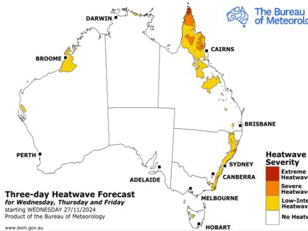
The heat is also targeting parts of northern Western Australia, northern and eastern Queensland, with maximum temperatures expected to soar to the mid-to-high 30s, with severe conditions holding strong until the weekend.
Locations likely to be most impacted in Queensland include Weipa and Thursday Island, with temperatures tipped to reach 38C by 3pm on Wednesday.
Blackout warnings have also been issued for Queensland, with the heatwave putting a strain on energy supplies.
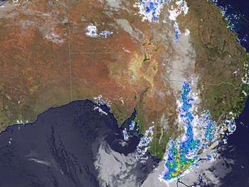
Across Victoria, bouts of heavy fog and rain have blanketed the skies, and the humidity is expected to reach levels of 100 per cent on Wednesday.
Overnight, severe thunderstorms impacted parts of northern Victoria and western, inland and southern NSW, delivering strong and damaging wind gusts and heavy rainfall, which led to flash flooding in some areas.
While rain has battered Melbourne overnight, warmer conditions can be expected to seep into the state in the next two days, with the chance of showers decreasing into the weekend.
A severe weather warning for damaging winds has been issued for people in parts of the northeast, East Gippsland and West and South Gippsland districts. Wind speeds exceeding 110km/h are anticipated to travel across the mountain peaks nut are expected to ease by the midafternoon.
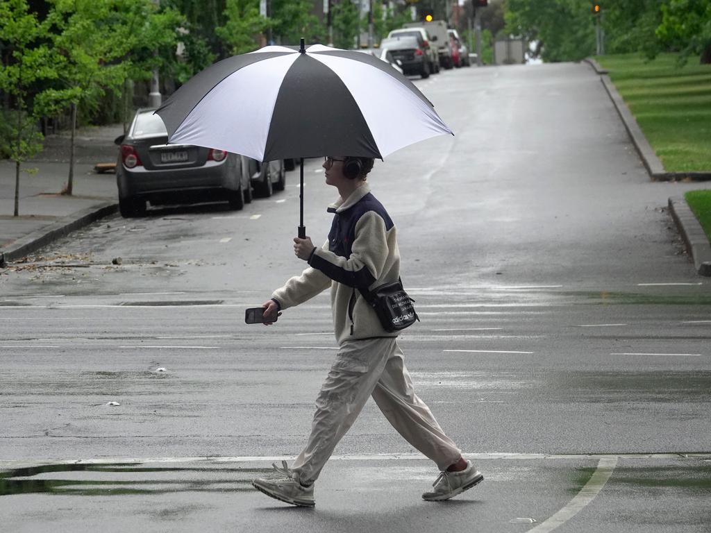
On Wednesday, Sydney will reach a top of 34C, and while conditions will be mostly sunny, people can expect cloudy skies and a chance of rain in the evening.
Melbourne will be wet and humid, with a top of 28C and an 80 per cent chance of showers in the early morning and afternoon as well as the chance of a severe thunderstorm.
Brisbane residents can expect a wet and warm day, with partly cloudy skies, a maximum temperature of 25C and a medium chance of a shower or two in the evening.
Perth will be bright and sunny on Wednesday, with a maximum temperature of 29C and top wind speeds of 35km/h.
It will be a wet day in Adelaide, with a high chance of showers in the morning and early afternoon and temperatures reaching a top of 23C.
Hobart residents will also need to grab their umbrellas, starting with a foggy morning and heading into the afternoon with a 90 per cent chance of rain and a potential thunderstorm.
Canberra will reach a maximum temperature of 29C, with a very high chance of rain and a thunderstorm. Winds will increase to 35km/h in the morning, easing off into the afternoon and evening.
People in Darwin can expect a hot and wet day, with a high likelihood of showers in the late morning and afternoon and a chance of a thunderstorm, reaching a top of 32C.


