
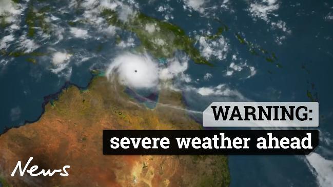
Potentially ‘destructive’ Cyclone Oma could hit south Queensland and NSW coast this weekend
Tropical Cyclone Oma is bearing down on Brisbane and the Gold Coast and could make landfall this weekend, bringing severe winds and rain.
Cyclone Oma has weakened in intensity but continues to move towards the southeast coast of Queensland and will bring with it gale force winds and heavy rainfall.
Authorities are warning people not to panic but to prepare themselves and their property for a weekend of wild weather.
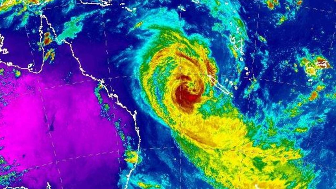
Oma was located less than 1000km northeast of Brisbane at 4pm on Wednesday, tracking slowly towards the Sunshine State at about 10km/h.
Bureau of Meteorology forecaster Adam Blazak said there was still uncertainty about which path the storm will ultimately take, but it could make landfall on the weekend.
“A crossing is not certain yet, and there are scenarios where it may linger off the coast,” Mr Blazak said.
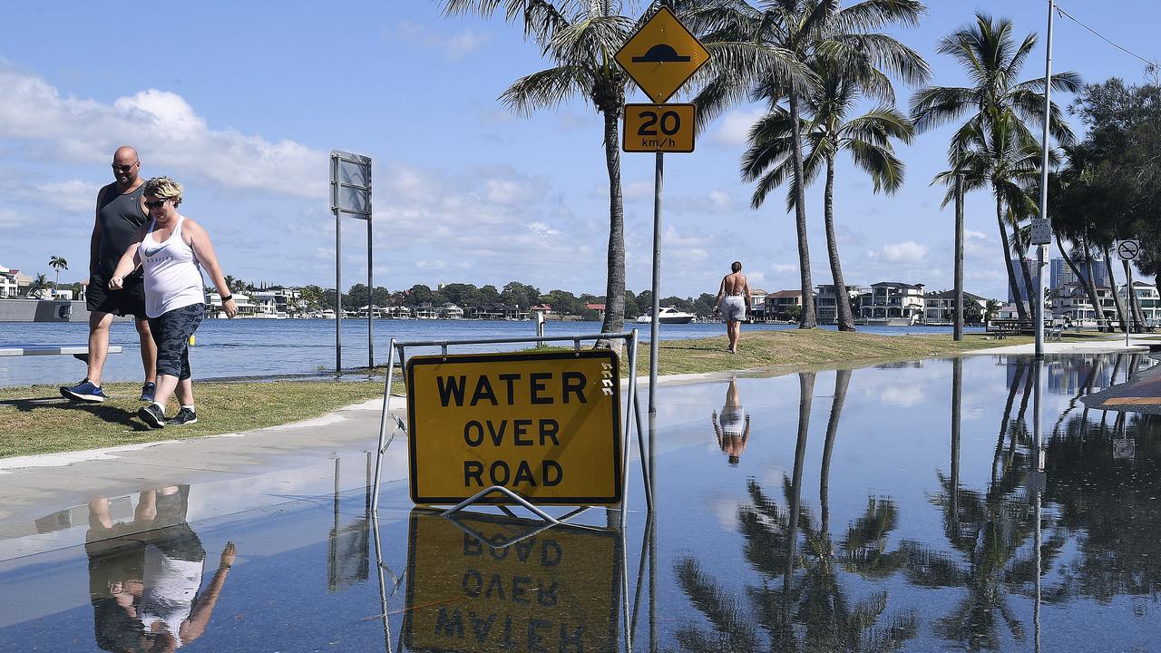
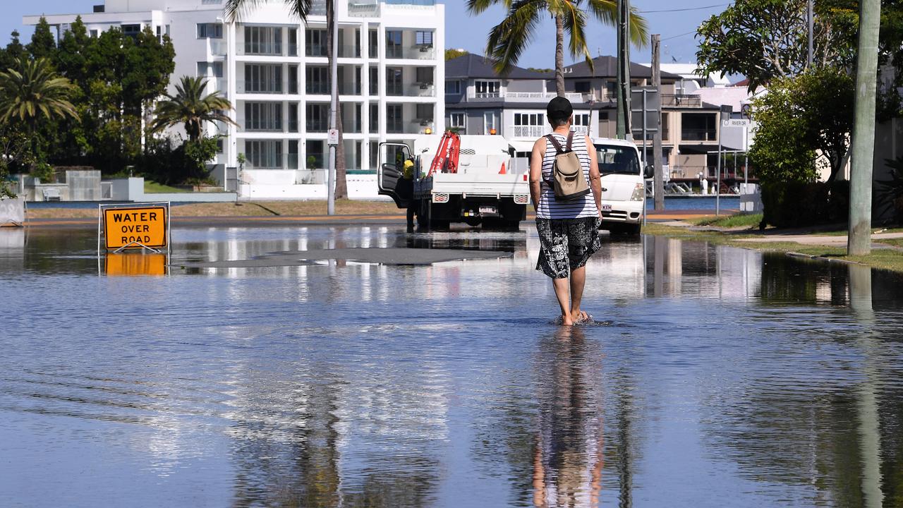
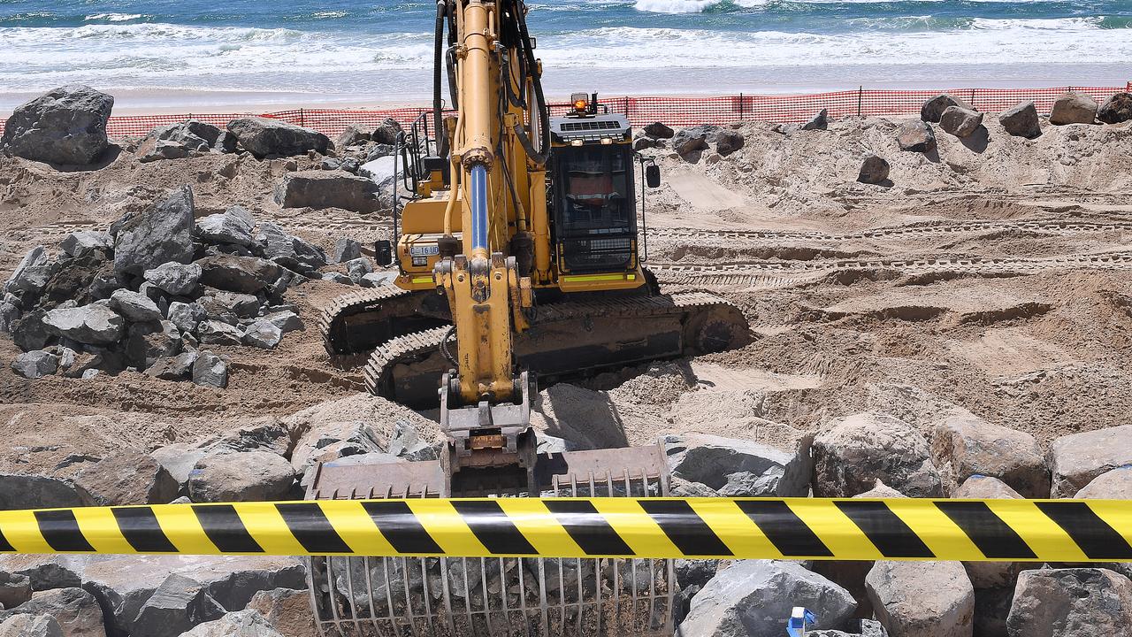
The weather system is already bringing hazardous surf conditions and abnormally high tides.
The longer it stays offshore, the greater the potential damage to beaches as waves of up to six metres pound the shoreline, he said.
Some coastal areas could be lashed by 90kmh winds and daily rainfall totals of up to 300mm if the cyclone continues its current path.
Mr Blazak said it could also potentially bring much-needed rain to drought- affected inland areas of the southeast corner.
“You don’t really want a crossing,” he said.
“But that would be maybe a better scenario than if it lingers off the coast. It would end up decaying and dropping rainfall in those dry areas.”
A severe weather warning remains in place from the Fraser Coast to the NSW border.
As Oma makes its way south west, it enters the “Australian area of responsibility”, according to Bureau meteorologist Jonathan How.
Forecasters on Wednesday morning played down the threat of the cyclone but its sudden change of direction has amplified the risk.
Mr How told news.com.au the “high-impact weather” was expected to lash Brisbane, the Gold Coast and Sunshine Coast and could hit as far south as the NSW border.
He said residents of the affected areas could expected “very heavy rainfall, gale force winds and storm surges,” and these conditions, along with abnormally high tides, could cause flooding.
Queensland has not seen cyclonic conditions like this for some time, so Mr How said it was unclear how severe the effect of Cyclone Oma could be.
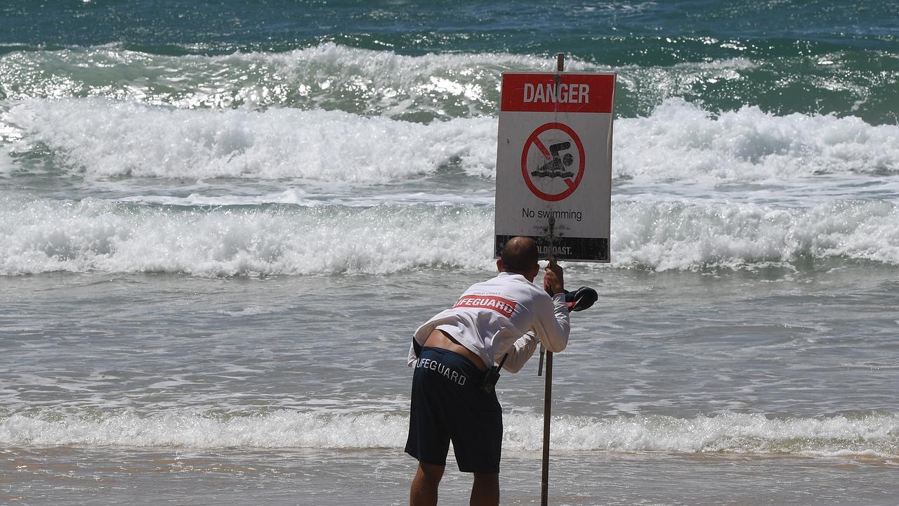
Queensland water police issued warning to swimmers, fishers and boaters to stay out of waters and away from dangerous areas for “at least the next five days” on Wednesday afternoon.
Areas in northern NSW have been issued with warnings, including Ballina and Byron Bay, where residents have been cautioned of rising tides, ocean swell and dangerous surf.
An abnormally high tide warning has been issued for Ballina.
A hazardous surf warning has been issued for Tweed Heads, Hastings Point, Byron Bay, Ballina and Brunswick Heads.
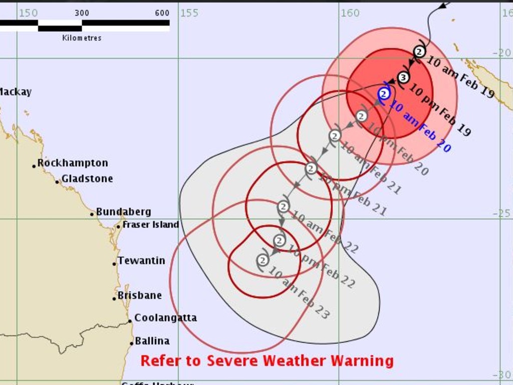
New forecasting images released on Wednesday show the predicted path of Oma.
The modelling says that while there remains “uncertainty associated with tropical cyclone forecasting”, it shows “the range of likely tracks of the cyclone centre”.
“Due to the uncertainty in the future movement, the indicated winds will almost certainly extend to regions outside the rings on this map,” the Bureau website advises.
Oma is expected to track across the northern part of New Caledonia. Where it goes then depends on which weather model prevails.
“All models agree with it going south west over the next few days,” Sky News Weather channel meteorologist Tom Saunders said on Tuesday.
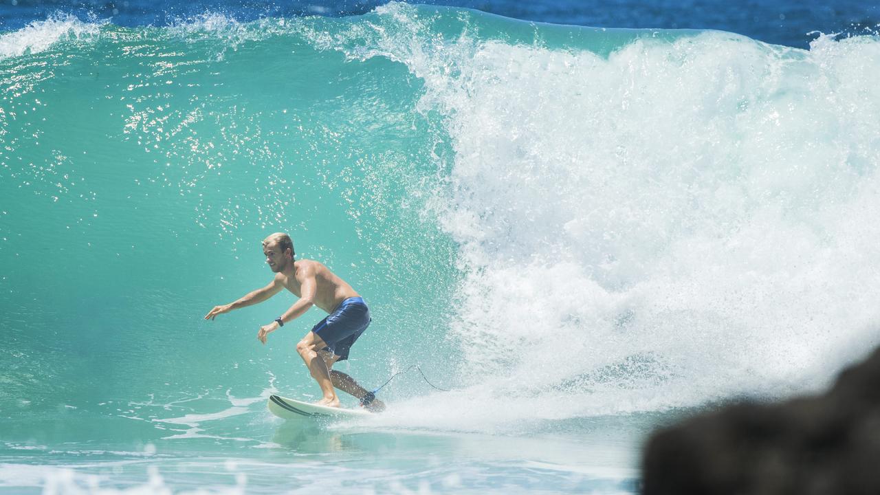
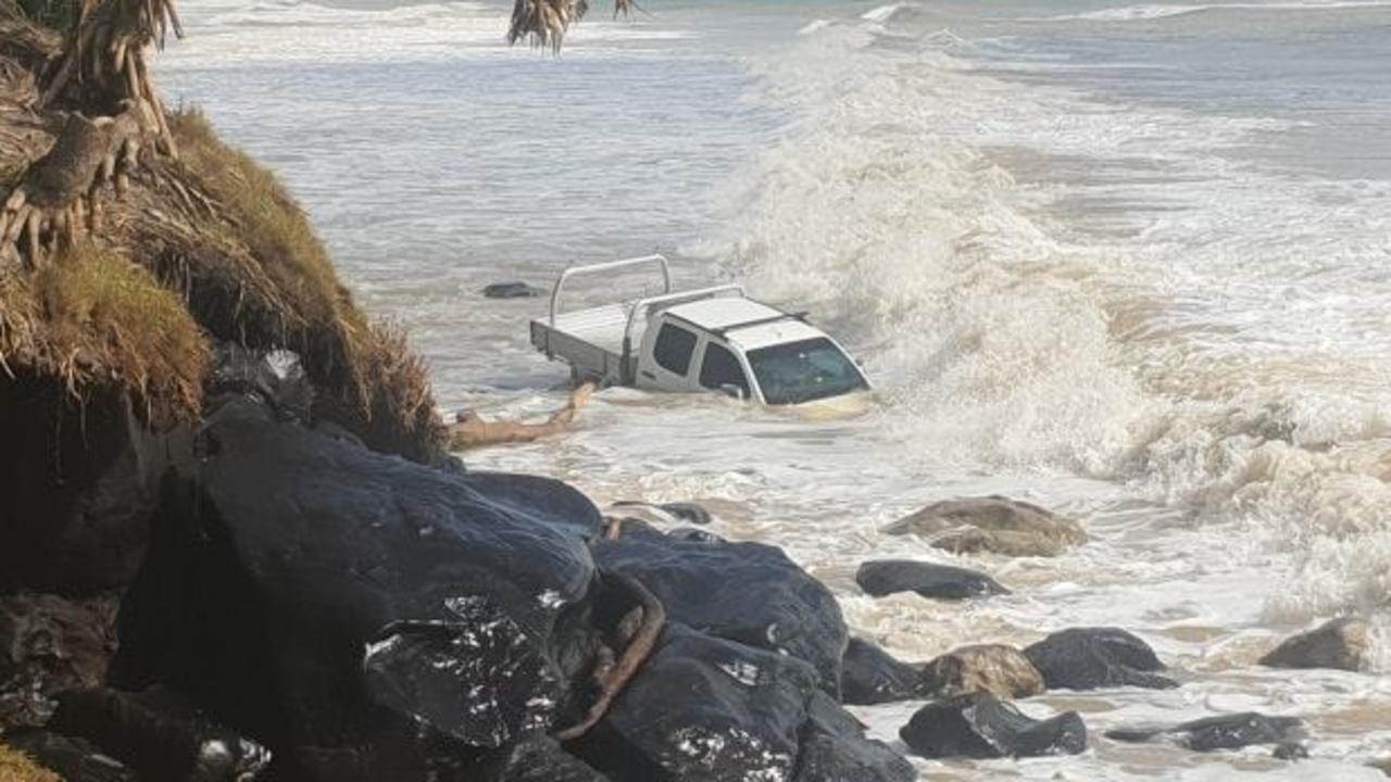
Large stretches of Queensland and NSW have already been battered with strong, dangerous swells.
On the Sunshine Coast, a ute ended up waging a battle with the swell — and losing.
Rainbow Beach Towing, which operates around the tourist hotspot of Fraser Island, posted a video to its Facebook page on Tuesday showing the embattled truck being battered by waves.
The driver was forced to abandoned the truck to the elements.
Whatever direction Oma heads in, the winds associated with it should cool the Queensland coast.
The state is currently enduring a heatwave — Brisbane is entered its 41st day with a maximum high of more than 30C.
- with AAP
Join the conversation

PM’s $500m pledge for local jobs
The Prime Minister has announced a crucial investment package during a pre-election speech, but not before he took a few healthy swipes at the opposition.
Read more
‘Flesh, fat’: Vile Aussie beach scenes
Locals claim pristine Tasmanian beaches are being overrun by a disgusting “biohazard”, sparking outrage and urgent calls for action.
Read more
How PM caused next cyclone to be renamed
The Bureau of Meteorology has had to make a rapid change as two potential tropical cyclones loom off Australia’s coast.
Read more