NSW sweats through hottest start to summer on record
Residents in one state are sweating through the hottest start to summer on record and relief is not expected until next week.
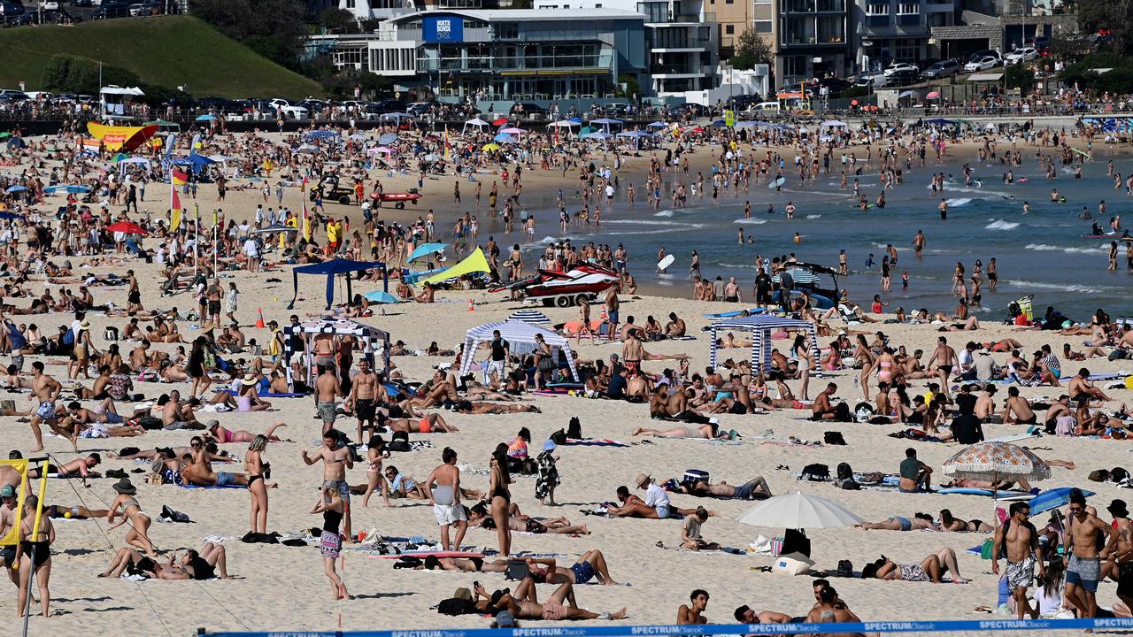
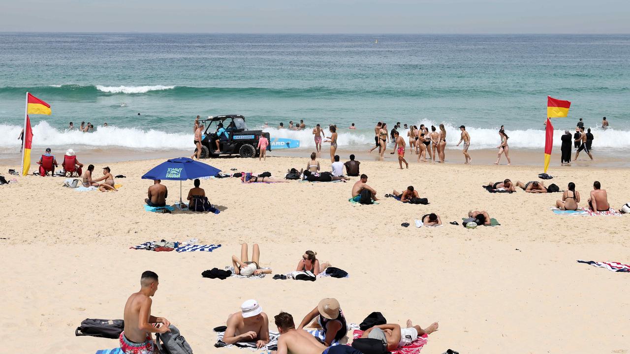
Residents of Sydney are sweating through the hottest start to summer on record, and relief is not expected until next week.
Two weeks of very warm conditions in the capital of New South Wales peaked yesterday at 38.9 degrees in the city centre and 40.3 degrees at the airport.
Temperatures in the city have been above 26 degrees every day for the past fortnight, the hottest start to summer in recorded history, according to Weatherzone.
During the first 14 days of summer, Sydney’s average maximum temperature reached 29.5 degrees, topping its 1976 record of 28.9 degrees.

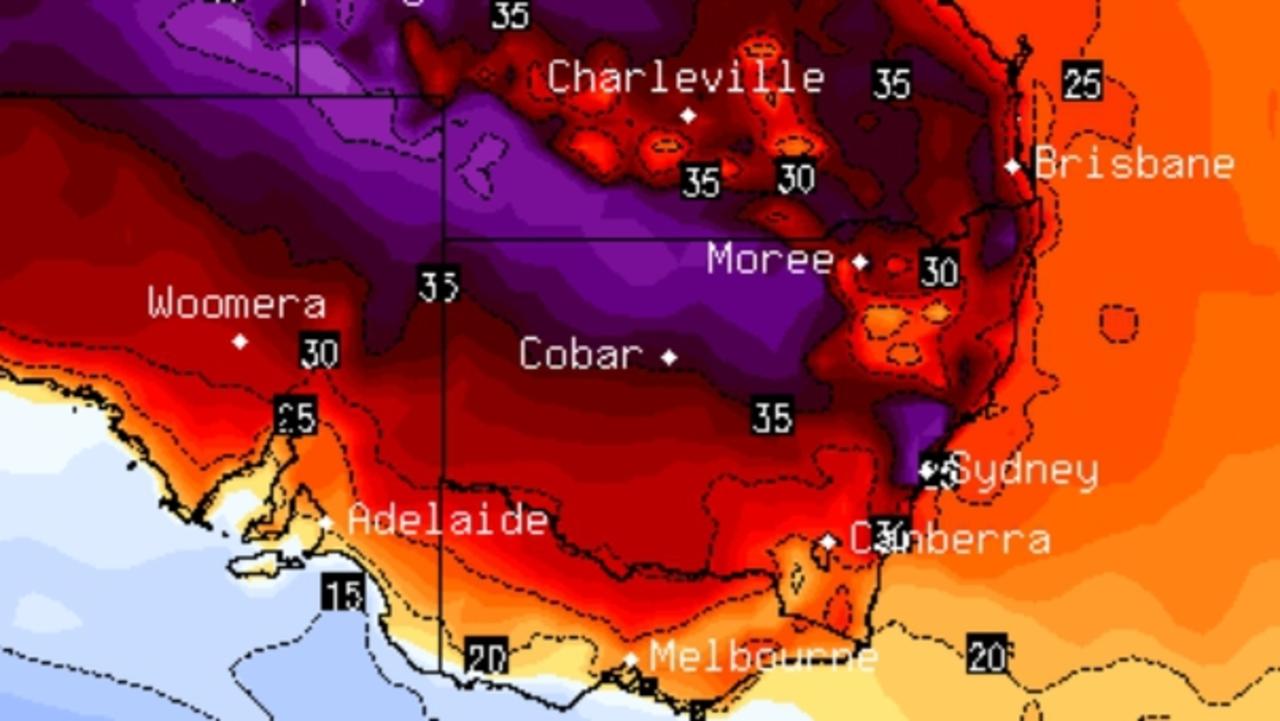
In NSW, hot air lingered for days due to a stagnant area of high pressure over eastern Australia.
Over the past couple of weeks, an unusually warm pool of water in the western Tasman Sea also reduced cooling effects in the city.
The heat is expected to continue until mid-next week with temperatures forecast to reach 27 degrees to 33 degrees today.
This comes after Sydneysiders were urged to temporarily reduce the use of non-essential electrical items yesterday, such as dishwashers during peak hours, as the mercury soared to 40C.

With scorching temperatures hitting the country, the Australian Energy Market Operator (AEMO) has warned businesses and households to prepare for electricity supply to be under pressure.
AEMO forecasts power use in NSW to have peaked between 5pm and 9pm last night.
This forecast lead to the NSW Government encouraging the community to reduce energy use between those peak hours, where possible and safe to do so.
They were asking residents to reduce non-essential appliances, including dishwashers, washing machines and dryers.

After a forecast maximum of 35 degrees next Tuesday, cooler conditions are forecast for the remainder of next week.
More Coverage
Severe heatwave conditions are being felt over coastal parts of the state with a warning in place for the Northern Rivers, Mid North Coast, Hunter, Northern Tablelands and South Coast Districts until tomorrow.

Cooler conditions are forecast for next week after a high of 35 degrees next Tuesday.
Severe heatwave conditions are being felt over coastal parts of the state with a warning in place for the Northern Rivers, Mid North Coast, Hunter, Northern Tablelands and South Coast Districts until tomorrow.


