
Major rain ‘threats’ set to shatter records and cause flooding
“Significant weather threats” have been forecast across the country, with warnings that records could be broken.
Two “significant weather threats” moving across Australia are set to shatter records and bring possible flooding.
Major rain events have been forecast in the country’s northeast and southeast as locals prepare for an unexpected winter soaking.
A deluge has already started in the country’s north, with rainfall totals of 5mm to 20mm forecast from Darwin down to Tennant Creek in the Northern Territory on Wednesday.
But the rain is expected to intensify and move through to Queensland from Friday, with Sky News meteorologist Rob Sharpe saying records will be broken as the stunning wet weather interrupts a usual dry patch.
“Records will be broken in June and July for parts of the territory and northwest Queensland,” he said.
He said over the coming eight days the total rainfall for parts of Queensland could reach 300mm.
“The average of the forecast models is now indicating more than 100mm from Cairns right down into Brisbane, with totals possibly reaching 300mm in the central east of Queensland,” Mr Sharpe said.
The total rainfall for northern parts of the NT and northwest Queensland is expected to be anywhere from 25mm to more than 50mm during that same period.
While these totals look small in comparison, Mr Shape explained they represented a significant change for those regions at this time of the year.
“Those kind of totals around Katherine would potentially be as much as 25 times the monthly average,” he said.
“The average at this time of year is 1mm or 2mm or 3mm for much of that region, so it’s a very dry time of year.”

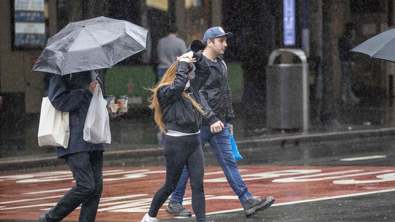
Showers are pushing through Australia’s southeast, with 4mm to 6mm of rain forecast for Adelaide on Wednesday.
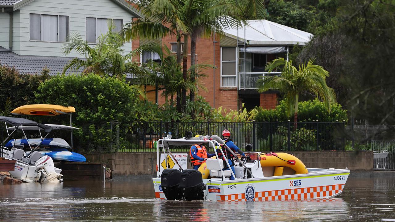
But from Friday the wet weather is expected to “noticeably pick up” in NSW and lead to possible floods.
“It’s on the weekend that the most nasty weather is likely to take shape,” Mr Shape said.
“There’s a possibility of an east coast low or at least a deep coastal troth and the target zone is probably going to be the southern half of the NSW coastline.
“So Sydney and further south are at risk of heavy, rain leading to flooding.”
He said rainfall totals could potentially reach 400mm to 500mm in isolated pockets, meaning major flooding “is at least likely” in some rivers.
The Bureau of Meteorology is forecasting possible rainfall of up to 50mm in Sydney and the Central Coast and 45mm in Wollongong on Monday.


