
Heavy rainfall set to return to eastern Australia over coming days
Urgent flood warnings have been issued with heavy rainfalls, thunderstorms and snow dumps set to smash two states.
A cold front sweeping across Australia will bring heavy rainfall to large parts of NSW and Victoria over the latter part of this week.
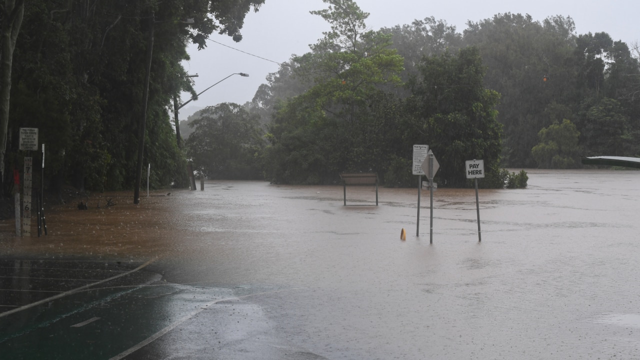
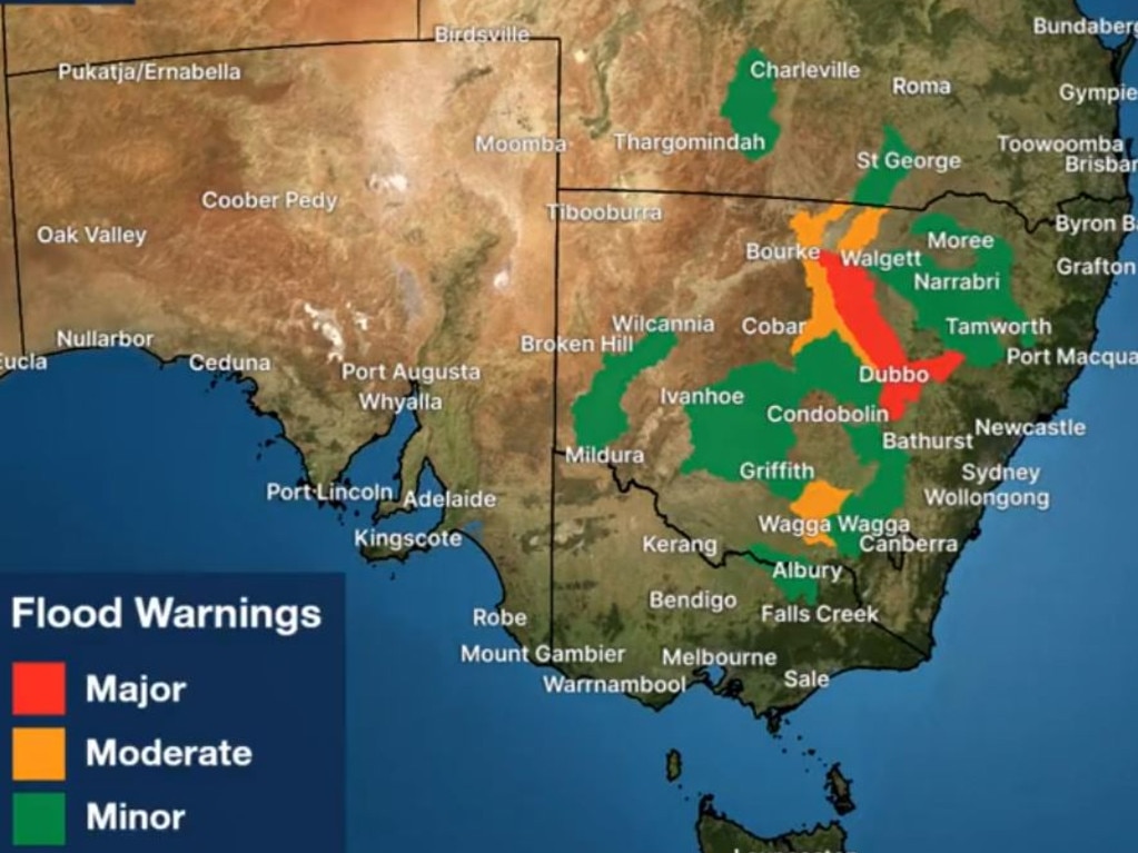
Flood warnings have been issued ahead of predicted deluges across western NSW, including a major warning stretching from Bourke to Dubbo.
Widespread rain and possible storms are predicted from Thursday until Saturday.
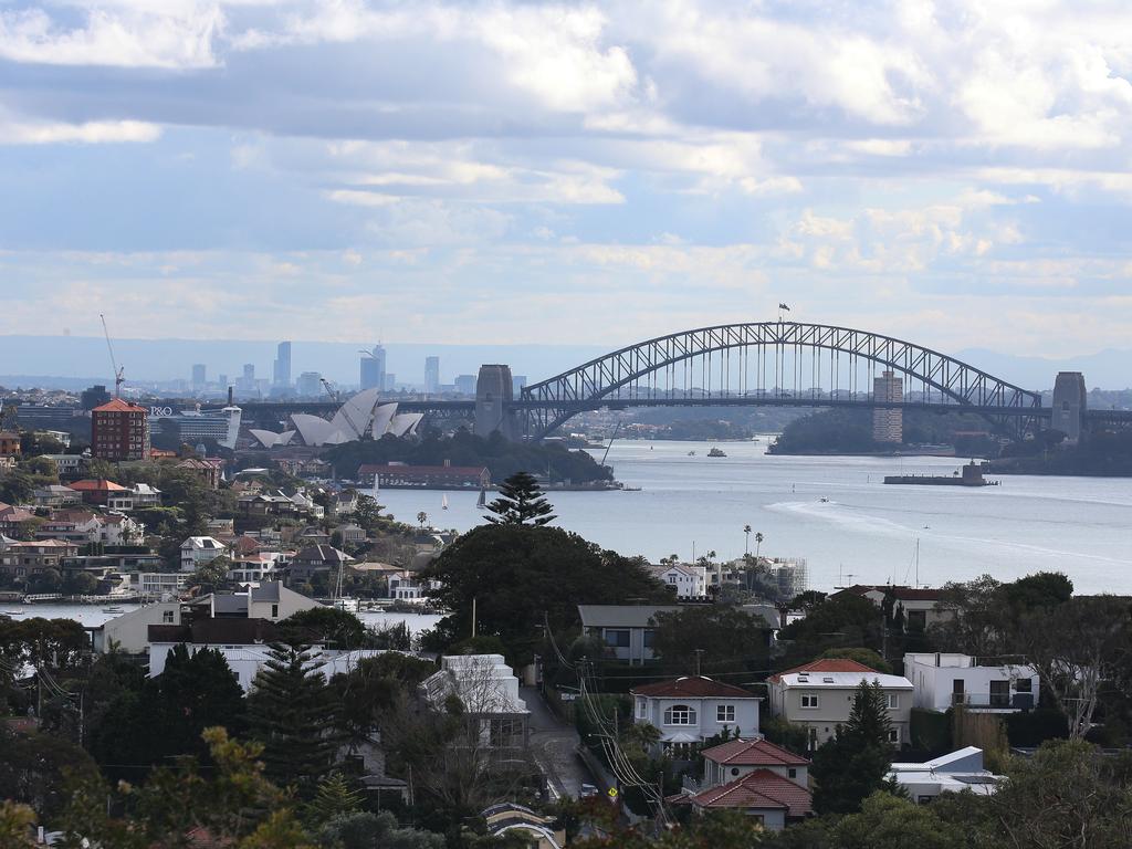
Sydney is tipped to see “increasing showers” and up to 10mm of rain over Friday and Saturday.
“Rain is expected to return to southeast Australia later this week due to a front and low-pressure system moving across Australia,” the Bureau of Meteorology posted online.
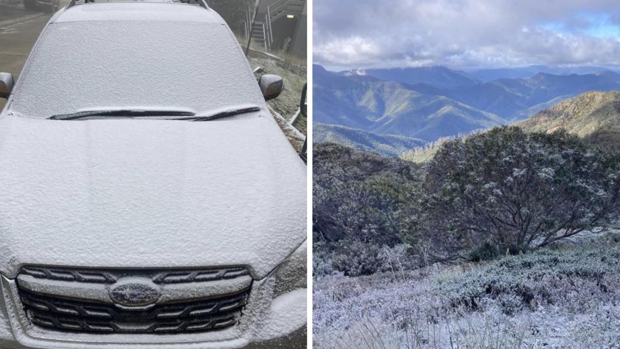
The cold front moved across Western Australia earlier in the week bringing rain, isolated thunderstorms and even snow to parts of the state.
A cold front will sweep across south-west #WA today, bringing rain, isolated thunderstorms, strong winds and colder temperatures. Cold and gusty winds behind the front will bring showers, small hail and isolated thunderstorms on Tuesday. Latest: https://t.co/yFJNSX7Uwupic.twitter.com/TjAFdDkV3u
— Bureau of Meteorology, Australia (@BOM_au) August 8, 2022
Last month was the wettest July on record for much of the NSW east coast including Sydney, with rainfall around four to eight times more than the July average.
The latest bout of bad weather comes as a new report into deadly floods in northern NSW at the start of 2022 found agencies grossly under reacted to the scale of the disaster.
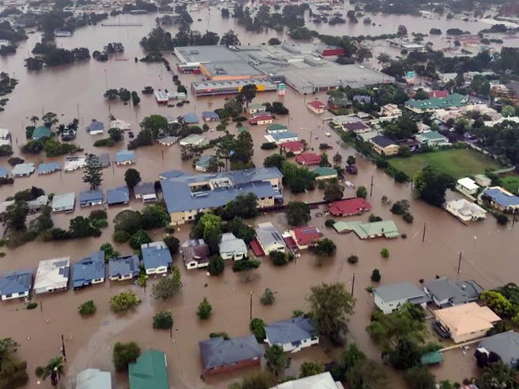
“NSW Government agencies and the Bureau of Meteorology were not prepared for, nor did they comprehend the scale of the February-March 2022 floods,” the report stated.
It concluded information being provided by the NSW State Emergency Service and Bureau of Meteorology was “incorrect and out of date”.

Greens push for $4bn cut to insurance costs
The minor party has proposed a five-pronged attack to lower rising insurance premiums which they say could save households a total of $4bn.
Aussies freeze as temperature plummets
Australians have been warned not to pack away their puffer jackets just yet after one state recorded temperatures up to 10C below average.
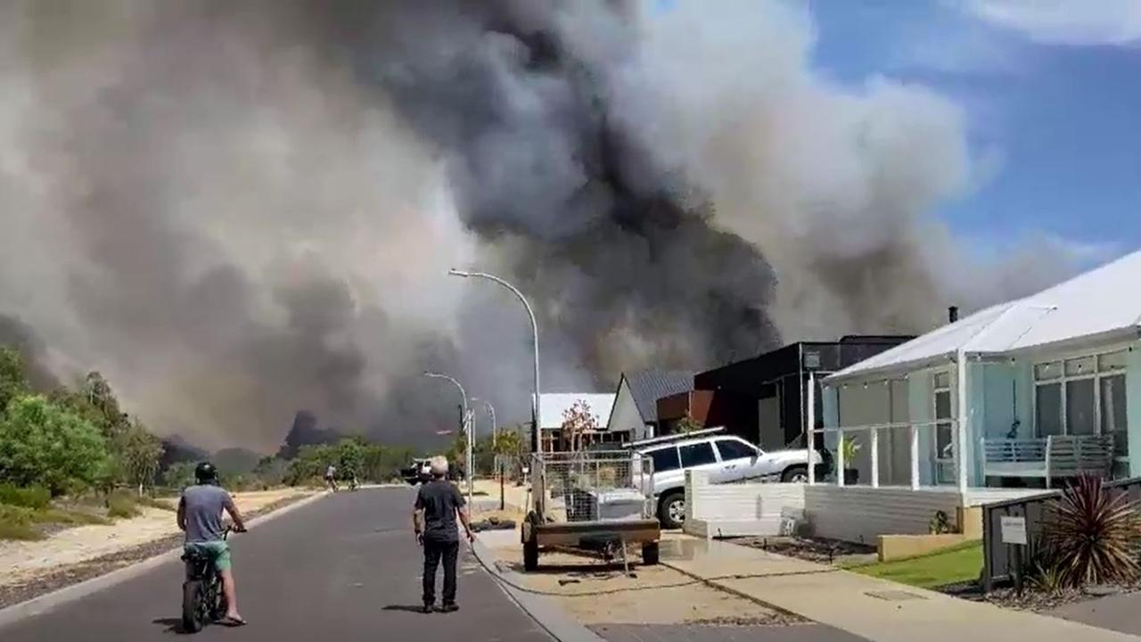
‘Avoid the area’: Bushfire threatens town
Authorities have warned residents of Dunsborough in West Australia to avoid the area as a major bushfire threatens homes.