
Heavy rain returns to flooded regions with fears of further devastation
Heavy rainfall has returned to the flooded parts of eastern Australia, with warnings of more flash flooding events for already devastated areas.
Heavy rainfall has returned to eastern NSW, with warnings of more flash flooding events in already devastated areas.
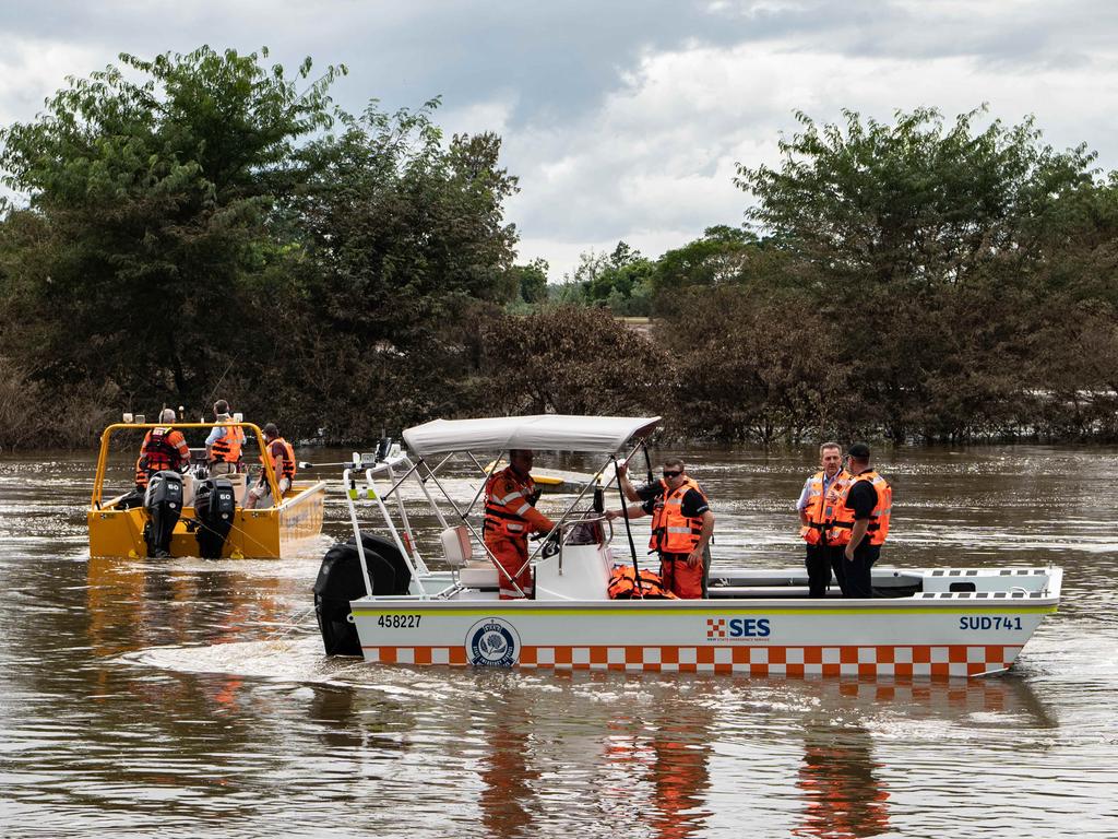
Authorities are gearing up to respond to river level rises, with additional personnel and resources deployed.
On Friday evening the Bureau of Meteorology (BOM) updated a severe thunderstorm warning to include the Northern Rivers.
Flash flooding warnings were also in place for parts of the Mid North Coast in the vicinity of Port Macquarie and Wauchope, as well as the Hunter Valley, north of Sydney.
“Heavy rain and thunderstorms to bring possible flash flooding and renewed river level rises to parts of Queensland and NSW,” BOM scientist Dean Narramore said.
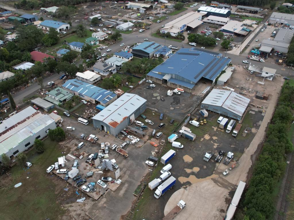
Communities in the Northern Rivers, including Lismore, are still recovering from devastating flooding earlier this month.
The NSW SES said it was gearing up for a busy weekend and warned residents in affected areas to be on alert for updates.
“The devastation caused by the Northern Rivers floods is still being processed by residents, many of whom are still trying to clean up the aftermath. We know that for those people this latest warning will come as very unwelcome news,” NSW SES Acting Commissioner Daniel Austin said on Thursday.
“These latest floods have proven just how dangerous severe weather events of this kind can be, which is why we are appealing for people to start making a plan now and to be prepared to leave early should they need to evacuate.”
An incident management team was activated in Grafton to monitor the situation, as well as additional flood rescue and storm damage teams.
Earlier in the week, ADF personnel delivered 200,000 sandbags and other equipment for use across the state.
“This type of rainfall may lead to dangerous and life threatening flash flooding,” the BOM said.
“Monitor conditions and take care when out or travelling – flash flooding is likely.”
Across the weekend widespread falls of 25-50mm are predicted through large parts of Queensland and NSW.
“A lot of this rainfall is expected to fall on already saturated soils and catchments, so we could see renewed river level rises of many rivers, creeks and streams, particularly through flood impacted areas of southeast Queensland and northeast NSW,” Mr Narramore said.
“What’s driving all this, we’re seeing a band of cloud and that’s combining with moist air in the lower levels to produce widespread shower and thunderstorm activity through parts of southern Queensland and parts of northern and north eastern NSW.
“While this system is forecast to bring widespread rainfall across eastern NSW, rainfall totals are not expected to be as high as in late February and early March.”

‘Diabolical’: Fury as mansions swallowed up
A row of waterfront mansions are close to collapsing into the ocean as massive swell erodes the beach. One fed-up homeowner says it exposes a “diabolical” failure.

If you live here, work from home today
Millions of Aussies have been told to stay home and avoid travelling if necessary after a freak “cyclone bomb” sparked commuter chaos and led to services being cancelled.

Wild storm throws trains, buses into chaos
Train and bus routes across NSW have been thrown into chaos as a freak storm – equivalent to a category 1 cyclone – smashes the east coast of Australia.