Devastating scenes after grandfather found dead in floodwaters
Police have made a tragic discovery while searching a car stuck in floodwaters as authorities warn more rain is on its way.
Devastating scenes have unfolded after a man was found dead in his stranded car in floodwaters as a powerful weather system stirs over the east coast of Australia.
The man has been identified as Peter Wells, 71, and has been remembered as a loving grandfather and a car enthusiast.
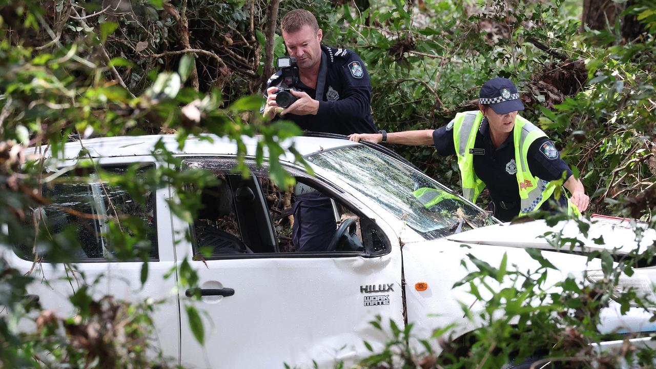
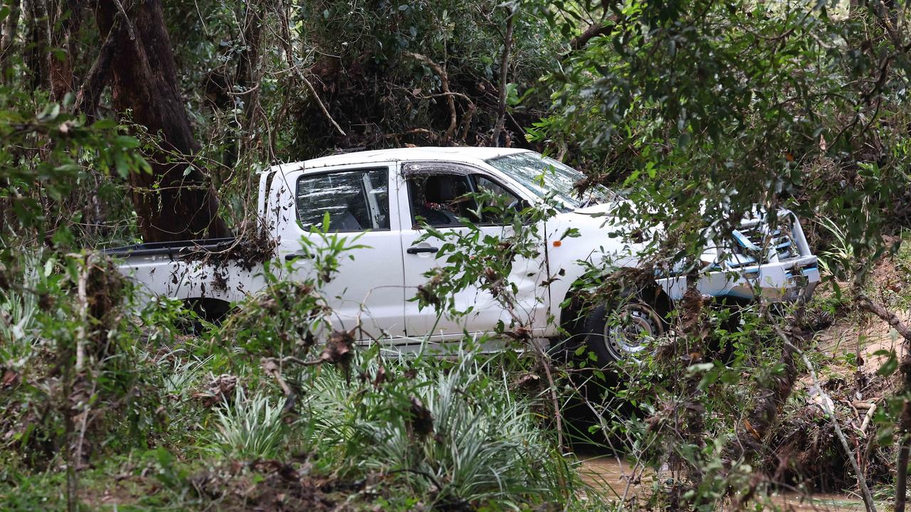
His body was found near a car after it became submerged in floodwaters at a private property in Greenbank about 5.20am on Thursday.
The death is not being treated as suspicious.
Mr Wells’ neighbour and friend Keith Draper said Mr Wells was a genuine family man.
“He was such a humble man, he has so many good friends and family,” Mr Draper said to The Courier Mail.
“I only met him eight or nine years ago and we became really good friends. We did a lot of things for each other, car things. He was just a lovely man.
“He’s part of Greenbank, and he’s part of the car world.
“I just cannot believe he died this way. Just down the road from his own house.”
A car enthusiast to his core, Mr Wells used to enjoy working on vintage vehicles and would “drop everything” to help out a friend.
Mr Draper said Mr Wells and his wife, Beverly, had lived in the area for more than 30 years.
“They were high school sweethearts. He would always tell stories of how he would take her out in his father’s car, how he would court her,” he said.
“She must be very, very upset, very devastated.”
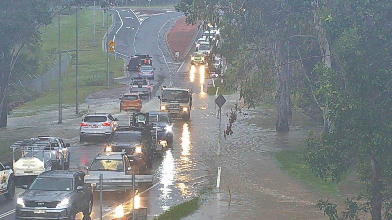
Flooding is occurring in South East Queensland, with multiple warnings in place for the end of the week.
Up to 100mm of rain fell near the lower Brisbane catchment on Wednesday night and into Thursday morning, with isolated rainfall totals up to 150mm.
A moderate flood warning is in place for Eyre Creek and a minor flood warning is in place for the Georgina River.
VERY DANGEROUS THUNDERSTOM likely to produce intense rainfall that may lead to dangerous and life-threatening flash flooding near #Greenbank and #RedbankPlains, moving towards #LoganCentral#Woodridge#SunnybankHills#Wacol#Archerfield. Latest warning at https://t.co/vYLHCna3orpic.twitter.com/zb9XD264HH
— Bureau of Meteorology, Queensland (@BOM_Qld) April 3, 2024
Transport routes may be disrupted and communities may become isolated as a result.
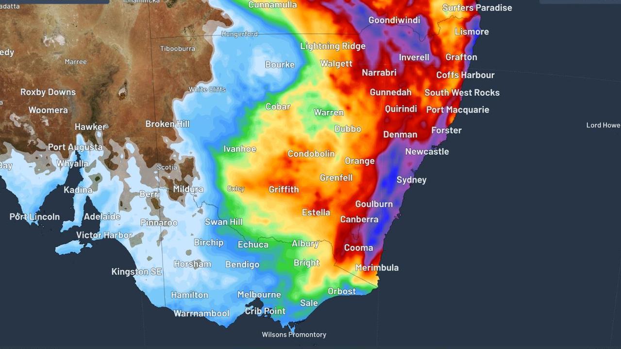
Some parts of South East Queensland and eastern NSW could be hit by up to 300mm of heavy rainfall in the 48 hours from Friday to Saturday, with Sydney, the Blue Mountains and the Illawarra likely to receive these significant totals.
Drivers have been warned to steer clear of roads where possible in the coming days across NSW.
With up to 300mm of rain anticipated in the next 48 hours, those travelling to or from the Illawarra and Hunter, Nepean and Blue Mountains have been warned to expect severe weather impacts.
Executive Director of Customer Journey Management Craig Moran said motorists should avoid all non-essential travel and expect delays on our roads and public transport.
“For those who need to travel, please take your time and plan ahead by checking Live Traffic NSW to see if your route is impacted by severe weather,” Mr Moran said.
“Drive to conditions, turn your headlights on and allow plenty of distance between you and the car in front.
“Do not drive through flooded roads. If weather conditions become too severe, find a safe place to stop and wait until it passes.”
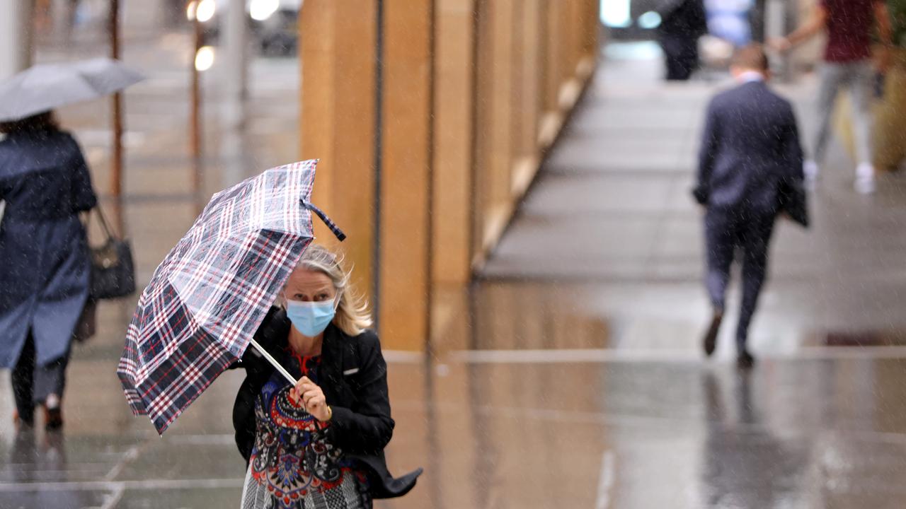
The worst of the weather will arrive on Friday, with areas from Brisbane down to the NSW south coast forecast to get between 50 and 100mm of rainfall.
Residents of the two states are being warned of increased flood risk as some catchments in Queensland and northern NSW are relatively wet.
Minor to major flooding is possible along the Hawkesbury Nepean River from late Friday.
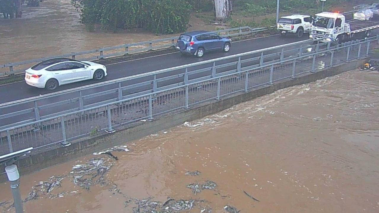
Thunderstorms are possible over the Northern Rivers ranges and damaging wind gusts of up to 100km/h could develop along the coastline.
While powerful and erosive surf could bring waves of up to 5 metres on Saturday, with vulnerable areas like Collaroy Beach possibly in the firing line.
Over the weekend, the system will then drift south towards Victoria and eastern Tasmania.
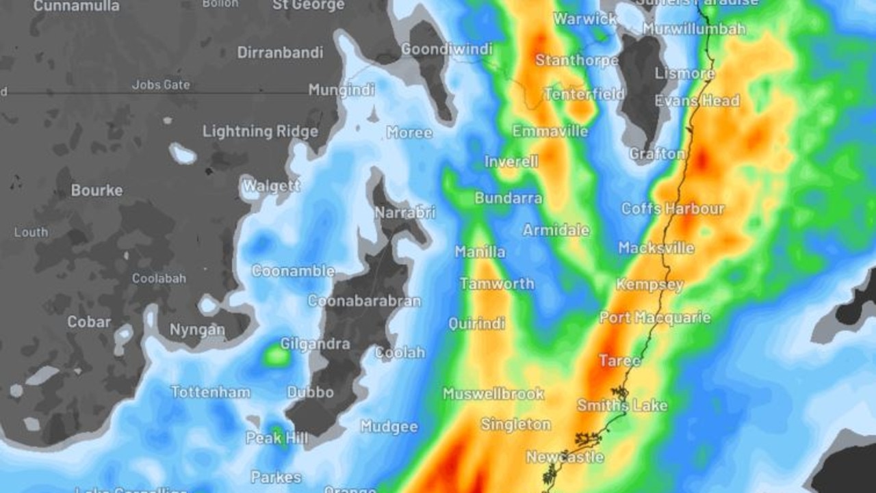
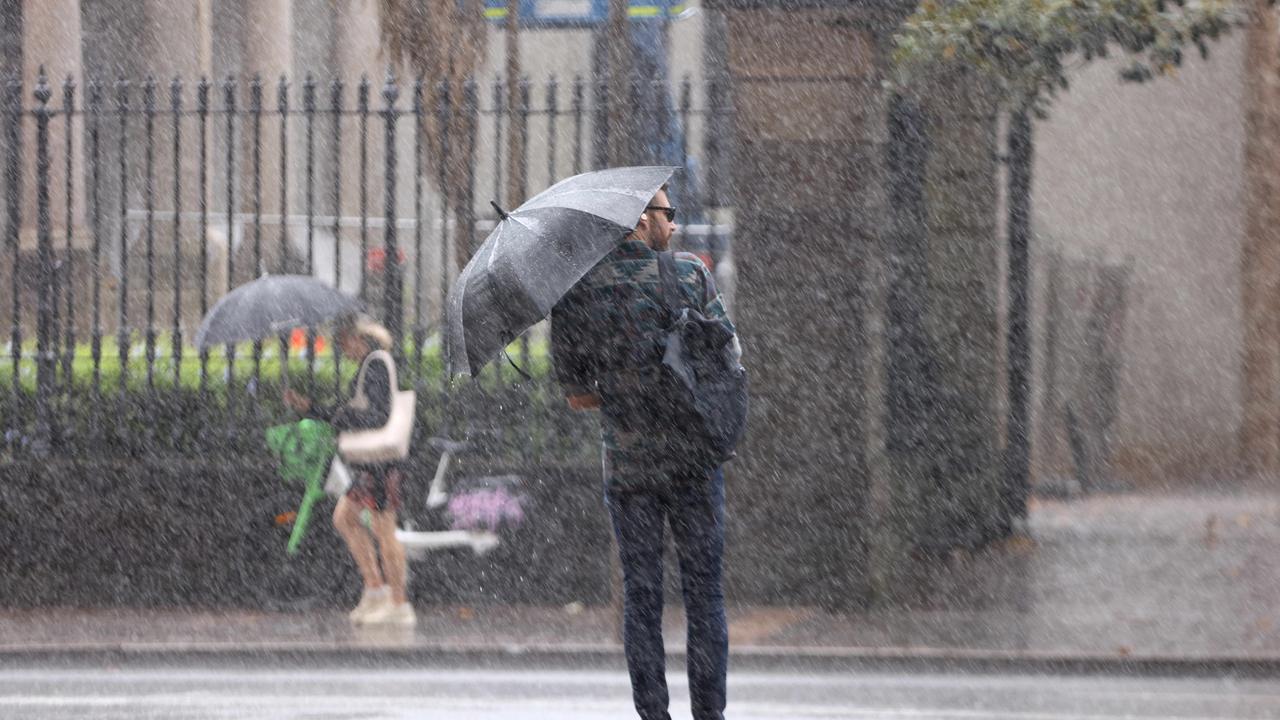
Here’s what the weather is looking like in each state in the coming days.
NSW
Up to 40mm could fall in Sydney on Thursday with a high of 23C. Heavier falls will arrive on Friday with up to 150mm possible in just 48 hours. The sun will likely return on Sunday with a high of 28C.
ACT
The nation’s capital is in for a wet weekend with showers expected from Friday to Sunday.
A high of 20C for Thursday and the temperature unlikely to hit the mid twenties all weekend.
Victoria
Melbourne residents will escape the worst of the wet weather this weekend.
However cooler temperatures have arrived for the first week of April, with a high of 21C every day.
Queensland
Brisbane is in for a steady stream of rainfall, with about 25mm expected to fall each day until Monday.
The temperature remains warm with a high of 27C on Friday and Saturday.
Western Australia
The west of the country is experiencing a final blast of heat before the cooler weather kicks in. The mercury should crack 32C every day this weekend and stay mostly sunny.
South Australia
Adelaide locals will get a largely dry but cloudy weekend with a high of 25C on Saturday.
Showers are possible on both days.
Tasmania
Hobart is in for a mostly sunny, cool weekend with a high of 20C on Friday.
NT
A thunderstorm is possible in Darwin on Friday. A high of 34C forecast for Saturday and Sunday, with showers easing.
Read related topics:Weather


