East coast drenching set to end after ‘heaviest August rain in a decade’ in some parts
Parts of Australia’s east coast have been soaked with the heaviest August rains in a decade, but relief is on the way.
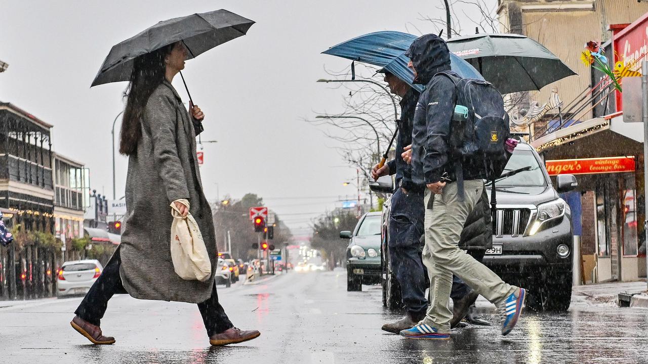
A days-long rain dump for millions of people in eastern Australia should ease on Wednesday night.
The largest rainfalls for a decade have soaked parts of the NSW northern rivers.
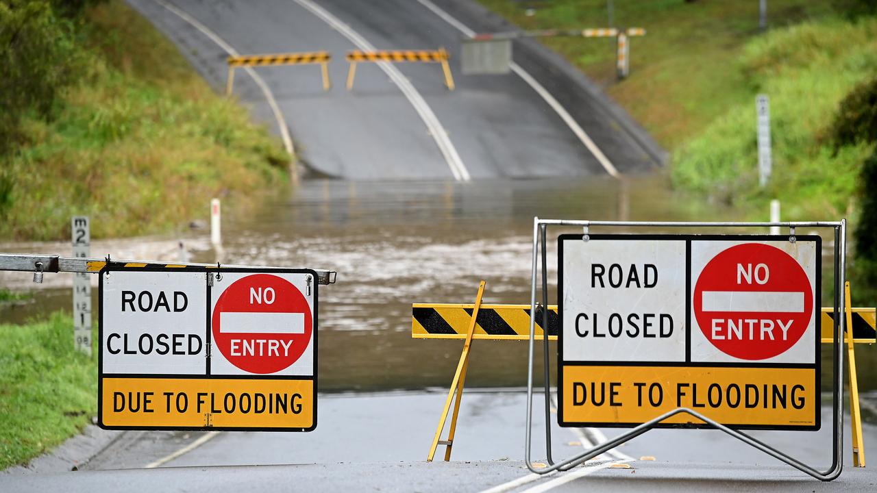
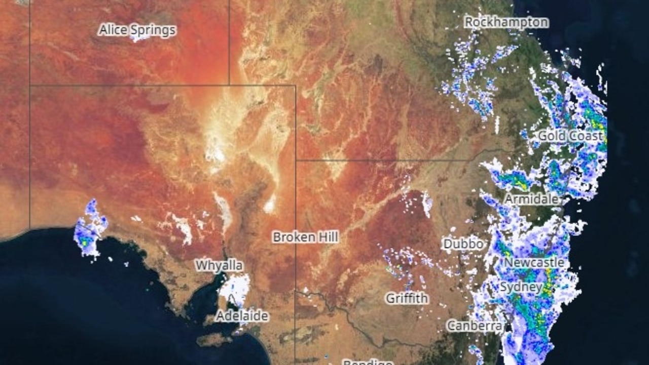
Because of the already drenched conditions, minor flood warnings are in place for some NSW and Queensland river catchments, but the Bureau of Meteorology says the showers should be dragged offshore on Wednesday night.
Senior bureau meteorologist Sarah Scully said overnight Tuesday into Wednesday heavy rain eased following heavy falls to start the week.

A couple of weather stations near Port Macquarie recorded 15mm of rain.
But the rain moved north and inland toward the Queensland border, including 24mm at Mullumbimby and 22mm at Limevale.
On Tuesday, weather stations in the Capricornia and Wide Bay and Burnett regions, particularly near Yeppoon, recorded more than 100mm of rain in just six hours.

On Tuesday night, the heaviest rain moved southeast into the corner of Queensland. From 6pm on Tuesday to 6am on Wednesday, more than 50mm was recorded at Upper Springbrook (64mm) and Maleny near the Sunshine Coast (66mm). Mount Morgan had more than 60mm and Townsville had 76mm of rain.
Flood watches had now been contracted to just north of Rockhampton, down to just south of Coffs Harbour, Ms Scully said.
The Kolan, Burrum and Sherwa, Burnett and Boyne rivers in Queensland, and the Tweed and Rous rivers, Brunswick River and Marshalls Creek in NSW are subject to minor flood warnings.

“For many parts of the northern rivers, including Ballina and Lismore, it’s been the heaviest August rain in a decade,” Sky News meteorologist Rob Sharpe said.
Surf warnings are in place across the Gold and Sunshine coasts because of strong winds creating large waves.
“We’ve had a really moist onshore flow which has brought a lot of moisture onto the coastal areas and adjacent inland areas,” Ms Scully said, explaining the heavy rain.
“And that’s combined with a trough sitting just off the coast and an upper-level low sitting over Queensland that’s really amplified the shower and the rain activity.”

Wednesday was going to be another wet day in southern Queensland and northern NSW, she said.
Isolated falls of more than 20-40mm are possible before drier conditions spread on Thursday, but isolated “quite light” showers are still possible south of Rockhampton.
Widespread moderate rain was forecast for central and eastern NSW on Wednesday, but the trough could spark heavier falls around the northern rivers and Coffs Harbour that could lead to flash flooding.
“Keep an eye on the radar and stay up to date with our latest warnings,” Ms Scully warned.
But the bulk of the showers will be dragged offshore on Wednesday.
Because of the moisture around, widespread fog is expected for Thursday and Friday mornings, including in Sydney and Brisbane.


