
US ‘polar vortex’ to bring weather ‘extremes off the scale’ in time for Christmas
CHRISTMAS in the US is going to be extreme. Snow melting in Alaska. Ice in the Rocky Mountains. And it’s all due to a ‘drunk’ polar airstream.

WEATHER weirding is getting real.
And the United States is about to experience an extreme Christmas, according to forward forecasts.
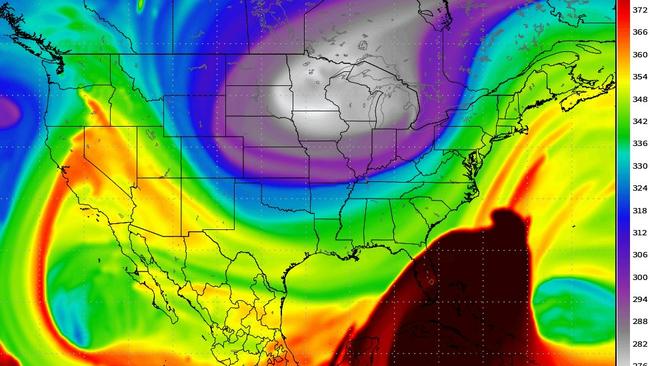
Something very odd is happening to the jetstreams of air that circle the globe.
And it’s about to generate another of the ‘polar vortex’ effects that has slammed the United States with heavy snow falls much further south than usual in recent years.
GFS 00z coming in like wrecking ball. +180 hr troposphere polar vortex location in Dakotas ... still a week away but Barney is lurking. pic.twitter.com/Ld3W8lvoT9
— Ryan Maue | weather.us (@RyanMaue) December 17, 2017
But mother nature demands balance.
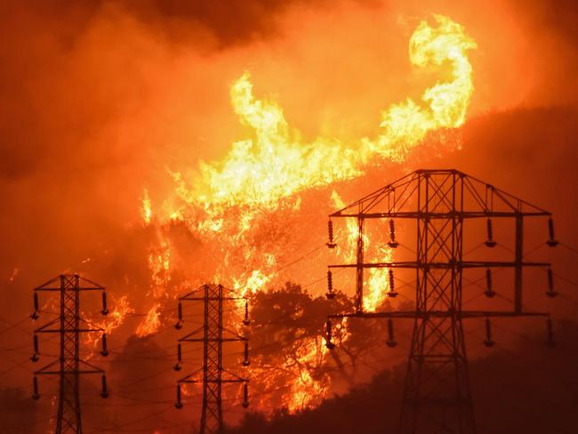
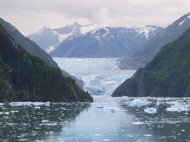
Alaska will be sweltering. California is already embraced by midwinter wildfires.
“Also, because I know this isn’t actually obvious, but the warmth over Alaska isn’t occurring because the sun is burning bright in the daytime sky,” says weather.us metrologist Ryan Maue. “(It’s) advection. Relentless marine flow from Pacific piling up.”
Essentially, strong currents of abnormally hot water are moving north towards Alaska out of the Pacific Ocean. This hot water in turn warms up the air, and it’s expected to move over the Arctic ice cap itself — forcing the cold air that was there down towards the United States.
High amplitude or wavy pattern has enormous ridge-o-saurus rex over Alaska. 50°F above average to the Arctic North Slope of Alaska. That is above freezing into Arctic. Christmas Eve: pic.twitter.com/DAurkrPrhK
— Ryan Maue | weather.us (@RyanMaue) December 17, 2017
“On the ‘drunk jet stream’ or ‘jet weirding’ scale of climate disruption, the upcoming next 7-10 days will see extremes off the scale,” Maue says.
Alaska and parts of Canada will experience Christmas temperatures some 10C above normal. “That is above freezing into the Arctic (on) Christmas Eve,” he says.
Current weather models predict this will force a blast of frigid air to punch down over North America, through the mainland United States and into the Rocky Mountains with air some 10C cooler than normal.
If you're West of the Mississippi River on Christmas Day, then you may want to ask for coal in your stocking. Extreme cold arriving via Polar Express. Off the charts Arctic cold. pic.twitter.com/1nKrF6lyKM
— Ryan Maue | weather.us (@RyanMaue) December 17, 2017
“If you’re West of the Mississippi River on Christmas Day, then you may want to ask for coal in your stocking,” Maue says. “Extreme cold arriving via Polar Express. Off the charts Arctic cold.”
Expectations are it will hit Denver, Colorado, particularly hard. Surface pressures are expected in the high 1040mb to 1060mb range.
“Now that would be a memorable trip to return your gifts on the day after Christmas in Denver,” he says. “-30°F (-34C) showing up on the 10 day highlights potential for deadly cold — regardless of exact number, the bottom will drop out.”
White Christmas update (8 days) less festive for snow on ground in the big cities from D.C. to NYC and Boston. Too warm along coast.
— Ryan Maue | weather.us (@RyanMaue) December 17, 2017
(Map is % chance of snow on ground of at least 1-inch) pic.twitter.com/aEcjvTjBd4
Women injured by lightning amid Anzac deluge
Two women have been injured in separate lightning strikes after one Aussie state was pounded by more than 200mm of rain over Anzac Day.

‘Nonsense’: Albo slams Greens over salmon
The prime minister has gone after the Greens in Question Time over salmon farming in Tasmania.
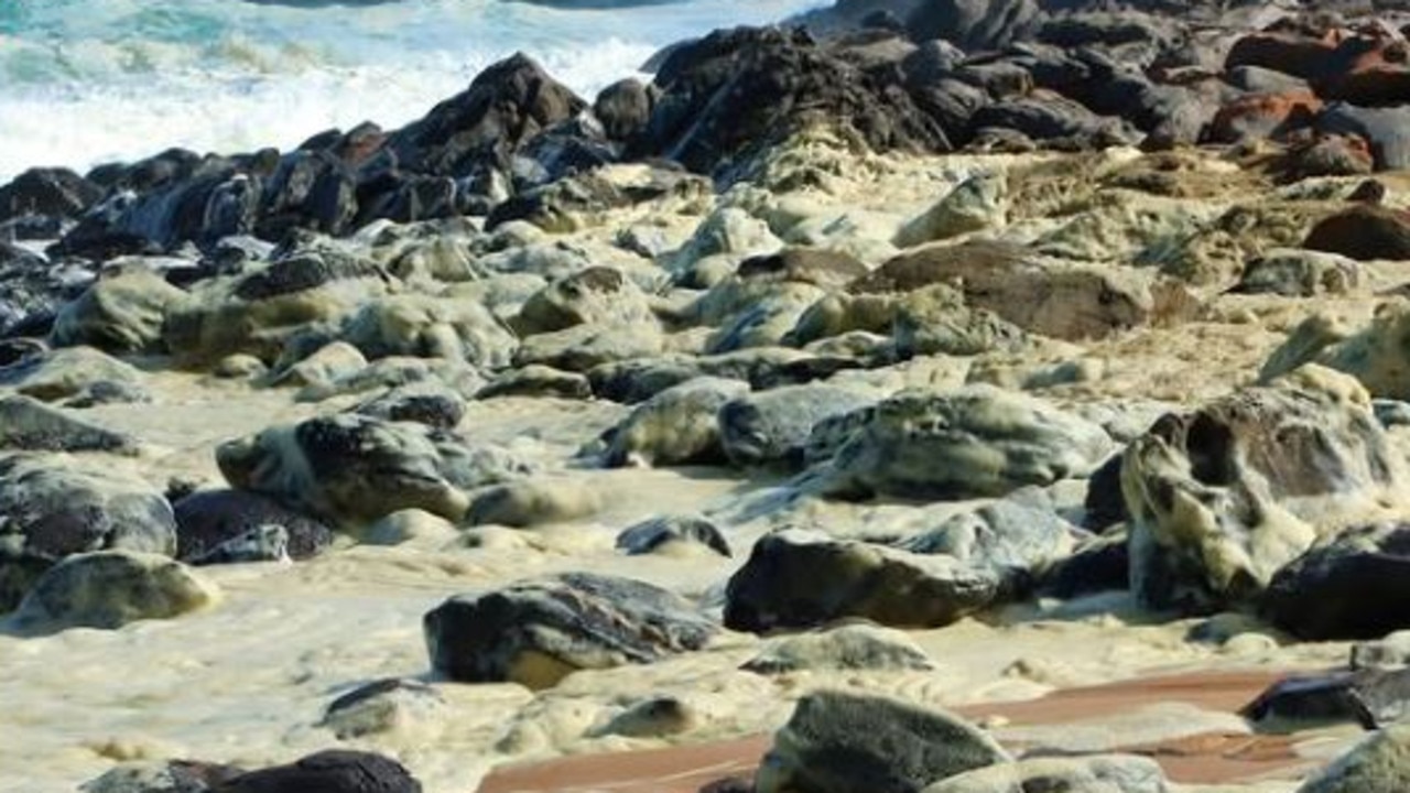
Shock scenes at iconic Aussie beach
Shocking scenes have unfolded at an iconic Aussie beach, with swimmers reporting feeling sick and marine life dying after toxic foam washed ashore.