
A CSIRO tool shows the expected average climate in your home town in 2090
WE know, we know. Meteorologists struggle to predict what the weather will be like next week, let alone in 50 years. But this is a different kind of forecast.
DEBATE and speculation around the causes of global warming is one thing, but the scientific evidence of a warming planet is a trend that is undeniable.
Global warming is believed to be responsible for rising temperatures across the planet but amid all the fiery rhetoric and mountains of data, it can be difficult to understand how it will affect us.
But a new website released by the CSIRO today will help people put it all into perspective and shows how it will impact 400 towns across the country.
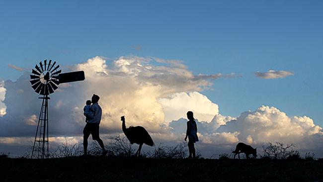
So if you’re wondering what Australia is going to look like for your kids, you’re in luck.
The website boasts a “Climate Analogues Tool” which allows people to see what the average climate will be like in their home town in the years 2030, 2050 and 2090.
It does this in a way that can be easily pictured by the user. After selecting a number of specifications such as emissions scenarios (low, intermediate, or high), it gives an example of another Australian town that currently has the climate which the chosen town will exhibit in the future.
For example, with intermediate emissions, in 2050 Sydney’s climate could resemble that of Port Macquarie, and Coffs Harbour’s weather would be akin to the climate of current day Gold Coast.
Later in the century, the predictions become understandably more dramatic. Melbourne’s climate could look more like that of Dubbo in 2090, according to the interactive map.
Dr Whetton is an Honorary Research Fellow with CSIRO and was instrumental in the research and data collection that led to the creation of the tool.
She hopes it will help “people to understand what climate change means to their location.”
She admits that there isn’t going to be a perfect analogy, but the website is an accessible public tool that “allows people to imagine” the climatological impact of global warming on their town.

The website allows people to receive data based on a broad range of climate predictions, offering the choices of, “least hot and wettest,” “hottest and driest” and the “maximum consensus.”
Users can also adjust the alteration in temperature and rainfall to see what kind of impact such changes will have on their chosen location. While there is plenty to play with, the range of specifications are for the “slightly more keen users,” Ms Whetton told news.com.au.
According to the CSIRO, by 2090, Australian average temperature is projected to increase by 0.6 to 1.7C for low emissions, 1.4-2.7C for intermediate emissions, and 2.8 to 5.1C for high emissions.
While that data is tough to digest and visualise in a real way, you can log on to the map to see what such predictions really mean for you.
Climate analogues can be useful for a number of purposes such as agricultural planning, urban planning, or natural resource management. But according to Ms Whetton and her colleague, Leanna Webb, other elements cannot be accounted for with climate analogy methods. Such as “frost days, solar radiation, soils and other local climate influences.”
Ms Whetton says the website is “not designed for serious adaptation or planning” but is rather a “first cut tool” to assist people in understanding global warming.

‘Never seen before’: Shock pics of algal bloom
A federal minister has spoken out about the dead marine life from a toxic algal bloom as new pictures reveal the extent of the devastation.

Greens demand PM act on toxic bloom
As one Aussie state continues to suffer from a “disaster” algae bloom that is putting the future of the fisheries industry in crisis, the Greens have made a simple demand from Albo.

‘Doomsday glacier’ could swallow cities
The collapse of this one glacier could raise sea levels enough to swallow cities all over the world.