Wild footage captures moment cars left stranded after flash flooding sweeps Qld, Sydney left sweltering in 42C scorcher
Wild footage has captured the moment cars were left stranded as flash flooding swept one Aussie state, amid a crazy bout of weather where the mercury tipped to 42C in some regions.
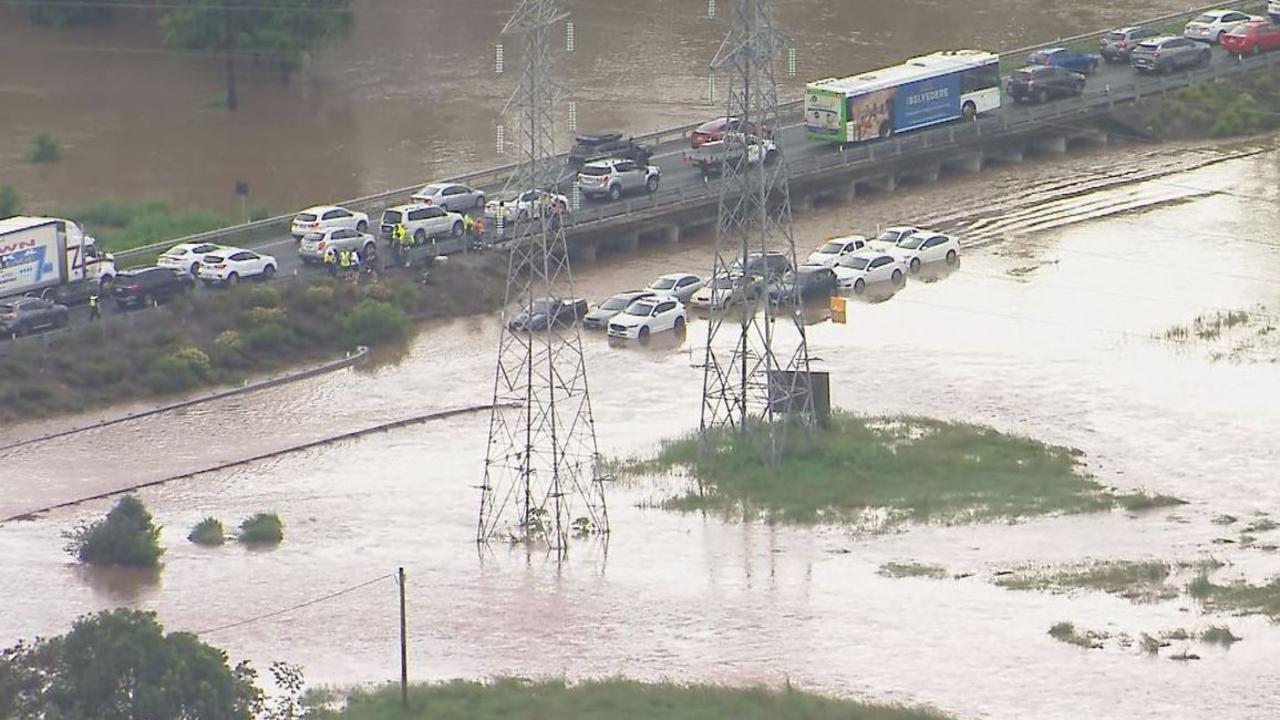
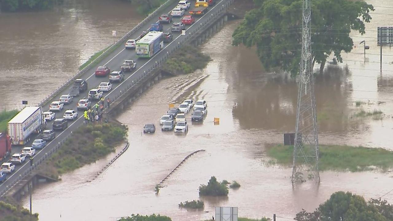
Wild footage has captured the moment cars were left stranded in water after flash flooding swept through Brisbane’s north.
The Bureau of Meteorology (BOM) issued flood warnings for parts of the Upper Brisbane River as water reached minor flood levels.
BOM meteorologist Angus Hines said Cedar Creek Road received 127mm of rain in 12 hours, and other areas around Brisbane received 100mm of rain.
In aerial footage, 9 News captured the moment multiple cars became stuck on Gympie Rd in Bald Hills amid the deluge.
More rain and thunderstorms are expected to hit Queensland’s east on Wednesday which could impact areas from Townsville to Brisbane.
“The primary threat with those storms is areas of heavy rain could lead to flash flooding or riverine flooding,” Mr Hines said.
Further south, thousands of Sydneysiders are facing blackouts as the city sizzles during the ongoing heatwave that continues to wash over the state, with temperatures reaching 42C in the outer western pockets of the city.
More than 2,500 people were left without power in Sydney on Tuesday morning, with blackouts first reported about 10am, spanning Macauley Ave, Chapel Rd and surrounding streets of Bankstown.
Power was restored to the area shortly before midday.
The blackouts come as the state sizzles under another wave of oppressive temperatures in the ongoing heatwave battering the majority of Australia.
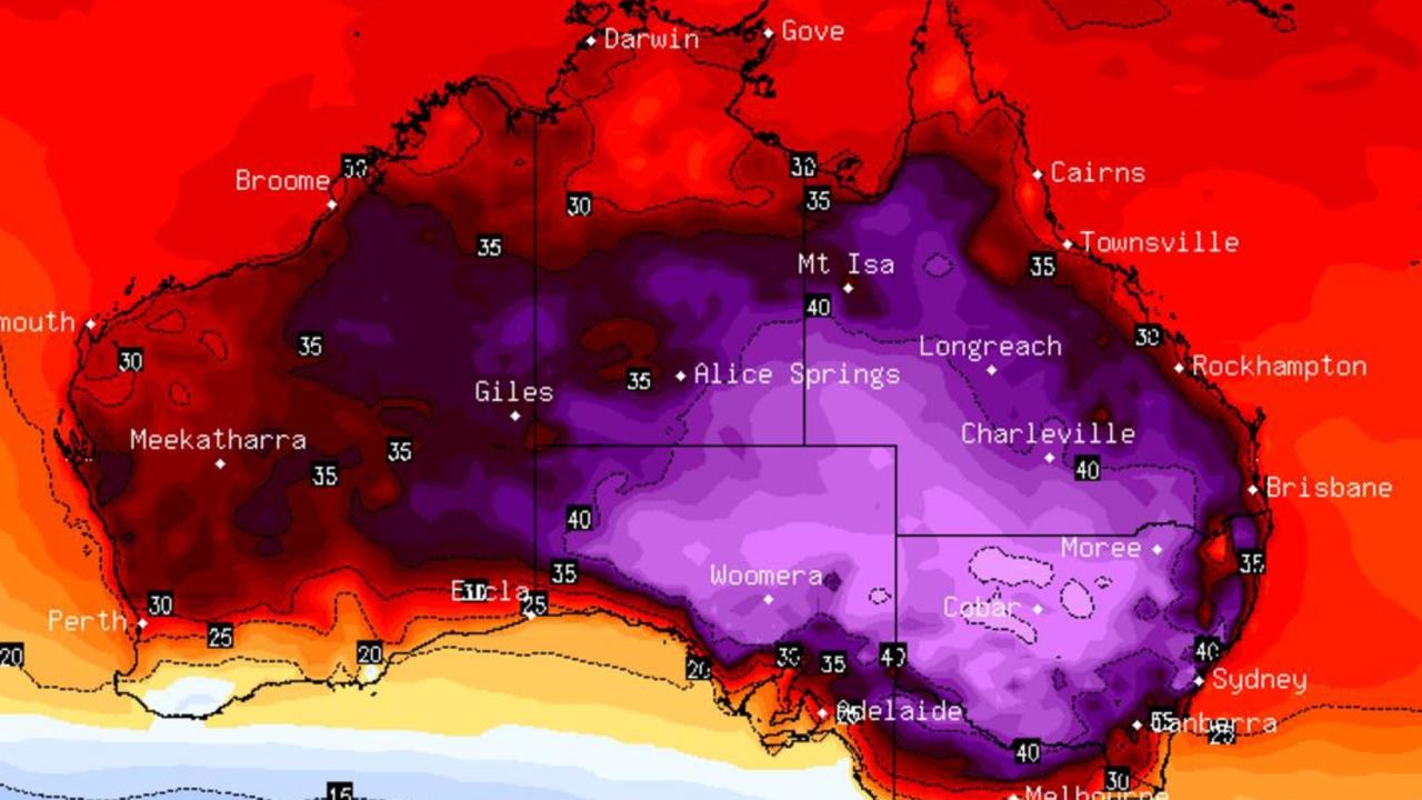
While the east coast can breathe a sigh of relief as the oppressive heat cools down halfway through the week and into the weekend, there’s no end in sight for the western and central regions of the country.
Heading into the weekend, the majority of the country will face sizzling conditions, with temperatures in the high 30s in Western Australia, South Australia, Northern Territory, parts of southwest Queensland and inland NSW, with some pockets exceeding 40C.
Over the weekend, the mercury will soar to the high 40s in the Gascoyne and Pilbara regions in WA and 35C in Perth.
It will be just as scorching in the central and eastern regions of the country, with temperatures reaching the low 40s in far west NSW and a sunny 27C in Sydney.
As the heat continues to grip the state, Health Minister Ryan Park told residents to be extra cautious if heading outside.
“During our periods of high temperatures our health system can see a significant increase in heat-related presentations” he said.
“It’s a timely reminder for all of us to do what we can to stay cool and stay hydrated.
“Things like closing blinds and curtains early, staying indoors where possible, and carrying a water bottle outside can make an important difference,” he said.
Mr Park reminded locals to be aware of others who may be in distress, particularly elderly people, young children and those living with medical conditions.
“These could be your neighbours, friends and family,” he said.
“Be on the look out for heat-related illness including headaches, dizziness, nausea and vomiting, fatigue and cramps.”
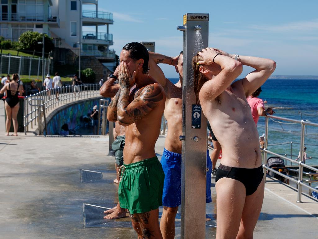
NSW faces another “very hot” day on Tuesday in its eastern and central regions, while there is some relief on the way for Victoria and South Australia.
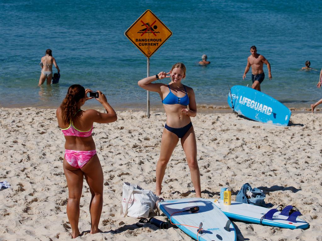
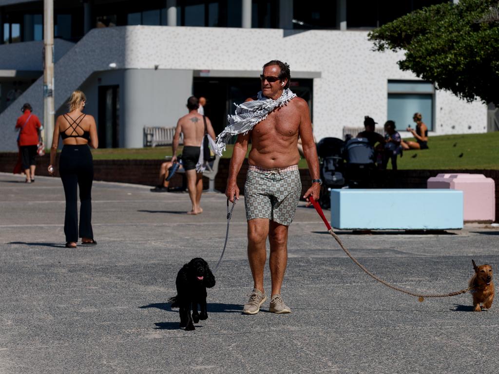
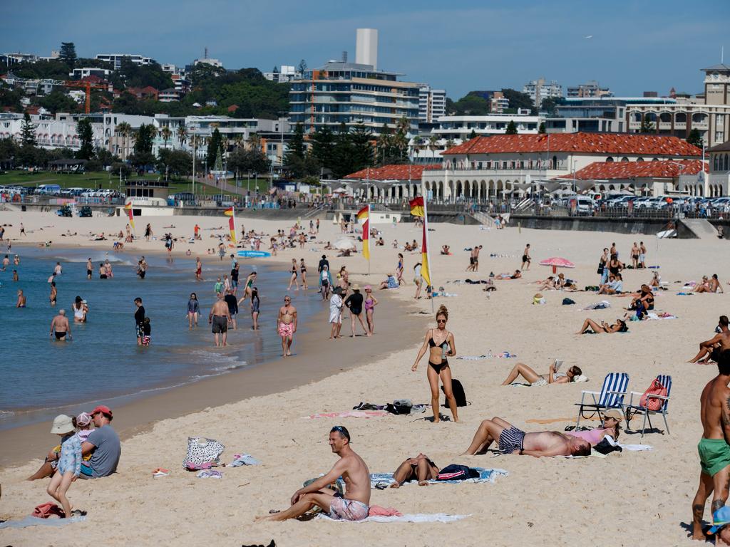
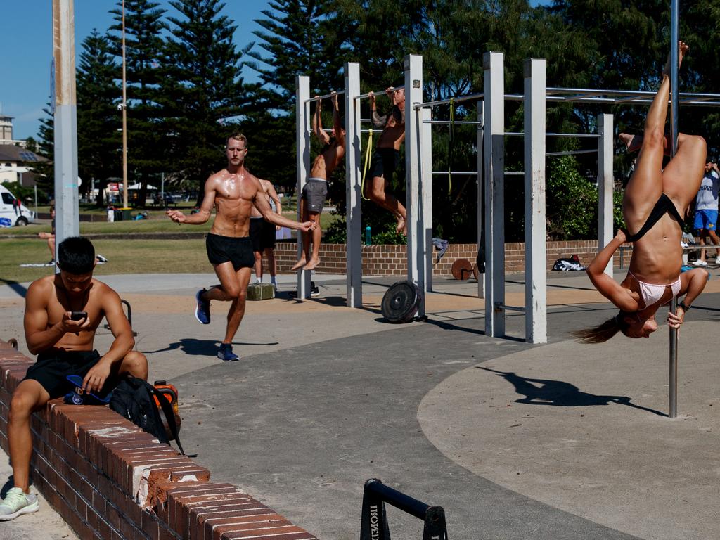
Beaches and pools across NSW will be packed with punters eager to cool down as the mercury reaches 33C in the CBD.
Far hotter conditions are anticipated in the western suburbs, particularly in Penrith and Richmond, where temperatures are anticipated to reach a sweltering 42C.
Locals in southwestern suburbs areas like Liverpool and Blacktown are expected to sweat through a 40C day.
“(Conditions are) much hotter as we head into the western suburbs, up to the low 40s there,” Bureau of Meteorology meteorologist Sarah Scully said.
It won’t be just the state’s capital that sizzles on Tuesday; some of the state’s outback towns will continue to suffer through hot weather, Ms Scully added, with Dubbo forecast to hit 38C and Bourke expected to hit 41C.
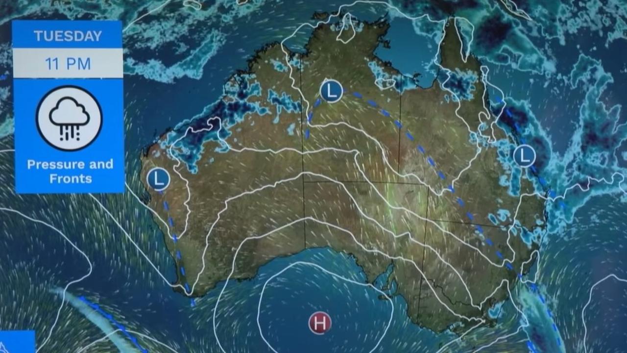
The heat isn’t expected to stick around for long, as a “southerly buster” is anticipated to move up the east coast in the midafternoon and evening, suppressing daytime temperatures by five to 15 degrees across the Illawarra, Sydney and Hunter regions.
Ms Scully said a cold front would deliver “relief” to “really high temperatures in the southeast” across Tuesday and also produce some showers and possible thunderstorms.
“This ridge of high pressure will build in quickly behind it, seeing a return of mild and settled weather,” she said.
On Tuesday, Canberra will see a mostly sunny morning with a slight chance of a shower late in the afternoon, likely reaching a top of 35C.
Rain is forecast for much of Queensland’s east coast, which Ms Scully attributed to a low pressure system sitting on the state’s central coast.
Showers and possible severe thunderstorms could stretch from Yeppoon in Central Queensland to Brisbane in the southeast, she said.
There is also a chance of flash flooding and quickly rising rivers as a result of the downpour, said Bureau of Meteorology senior meteorologist Angus Hines.
“(The) ground is wet and the river catchments are saturated in parts of southeast Queensland, meaning rivers and creeks are likely to respond quickly to further rainfall, increasing the risk of both flash flooding and riverine flooding,” he said.
Flood warnings and watches have been issued for the southern Wide Bay–Burnett and the south coast catchments.
People should be on alert for a moderate flood warning in the Mary River downstream from Gympie.
A minor flood warning has also been issued from the Brisbane River to the Wivenhoe Dam.
A max temperature of 29C is expected for Brisbane.
But Queensland’s central and outback regions will continue to suffer through hot weather.
The bureau forecasts a top of 42C for Longreach and 44C for Birdsville.
Victoria will be “much cooler” from Tuesday, Ms Scully said.
“It will be a wet morning for Melbourne, with showers and even a possible thunderstorm that will mostly clear by the afternoon,” she said.
The city is forecast to experience a max temperature of 24C.
A top of 21C is forecast for Hobart, and BOM expects some showers to wash over the city.
Dry and sunny conditions will likely hang over much of South Australia, with Adelaide forecast to hit a top of 26C.
BOM predicts a hot and sunny day in Perth, with a maximum temperature of 36C, before the city cools off to 30C on Wednesday.
Ms Scully warned “extreme heatwave conditions” were developing across parts of the central Northern Territory.
A top of 43C is forecast for Tennant Creek.
Darwin is expected to hit 36C and Alice Springs 37C.


