BOM slaps severe weather warning on NSW, VIC, and Tasmania, with snow later in the week
A “destructive” weather front that has lashed much of southeast Australia is expected to continue, forecasters warn.

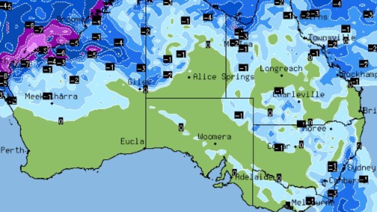
There’s snow on the way for parts of Australia’s southeast this week, as a high pressure system over central New South Wales and Victoria bring chilly mornings.
While severe weather warnings, issued for multiple states across the southeast, will continue into the new week a strong winds whip about.
Damaging winds of up to 125km lashed parts of Tasmania on Sunday morning as the blustery cold front sweeps across the country’s southeast, with wild weather persisting throughout the day.
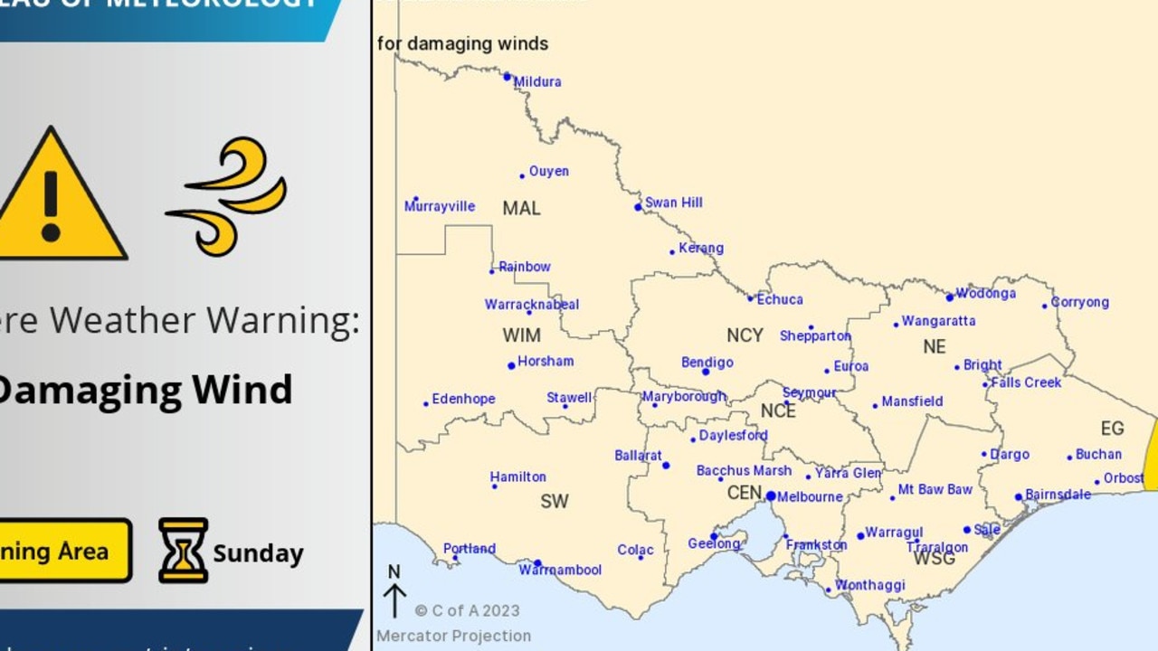
The Bureau of Meteorology issued similar warnings for parts of eastern Victoria, which were warned of wind gusts in excess of 90km on Sunday morning — particularly in coastal or higher-up areas, including Mallacoota and the Cann River.
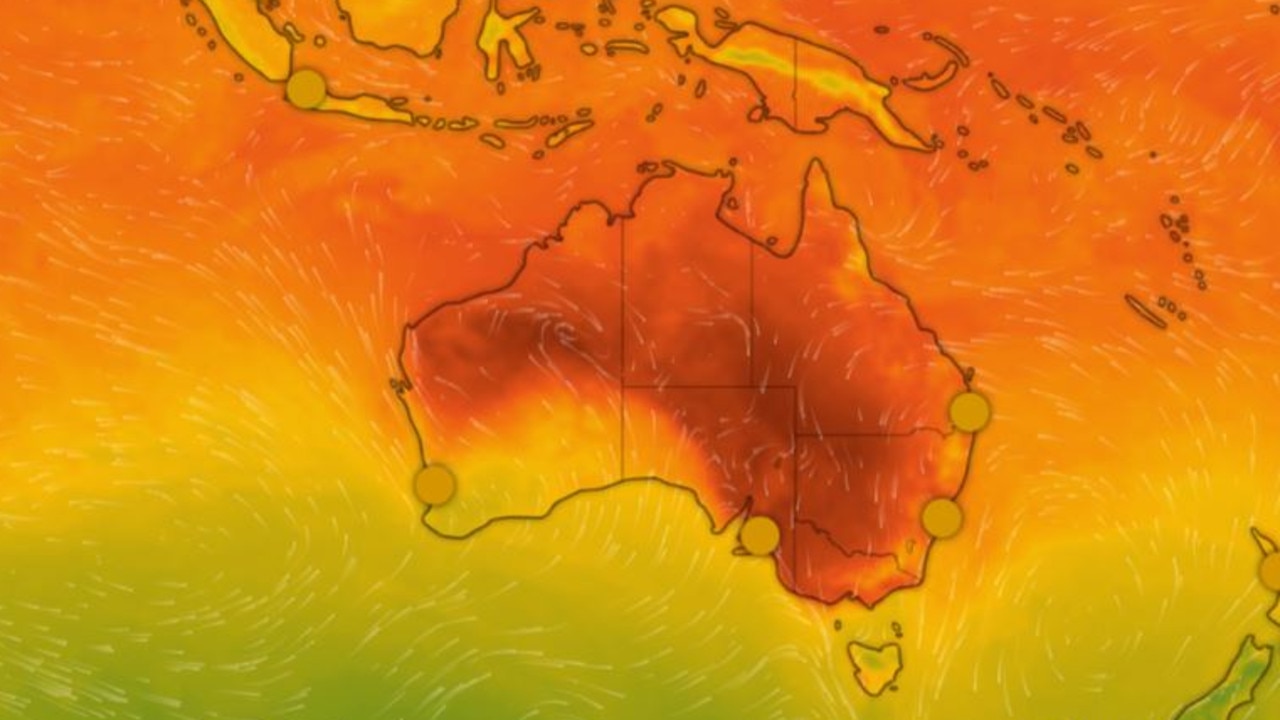
A high pressure system over the southeastern states is also likely to drop temperatures during the week, and bring snow to those areas with higher elevation — including the Alps, Perisher, and areas of Tasmania.
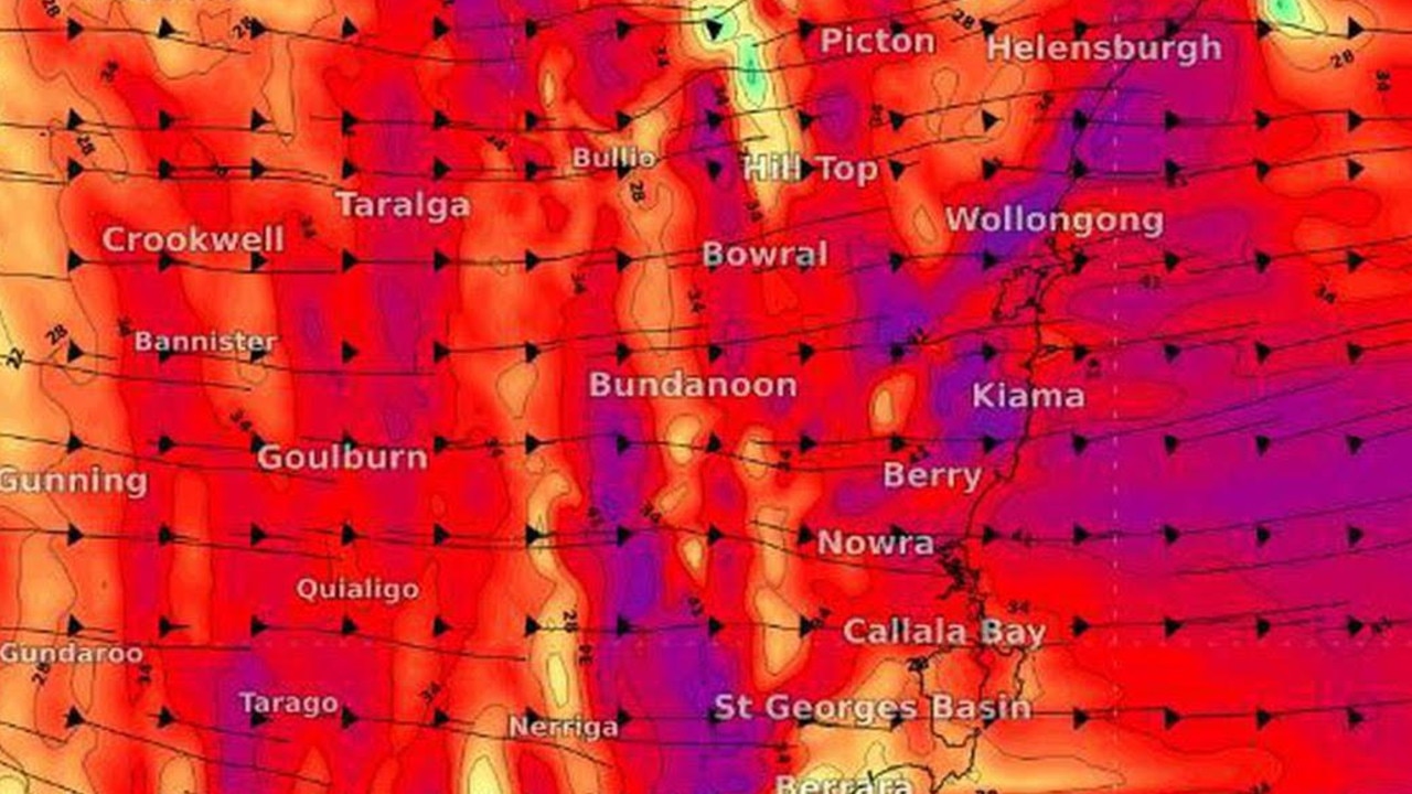
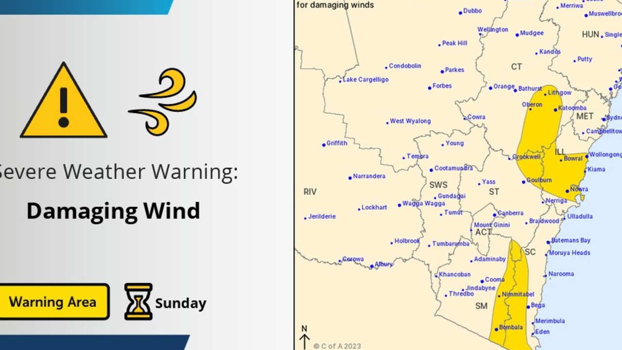
The NSW snowfields were forecast to receive a lashing of up to 100km, with the damaging winds also whipping across the state’s south coast, central and southern tableland, and Illawarra districts on Sunday morning.
Areas which were expected to be affected including Wollongong and Nowra on the coast, as well as Natoomba, Bombala, and Nimmitabal.
In Nowra, wind gusts had reached as much as 60km, while in Wollongong in had reached 70km.
“Into Monday morning there’s widespread frost potential through NSW, Victoria, the ACT,” said Sky News meteorologist Bradlyn Oakes, “a couple of areas of South Australia and Tasmania, also frost up into southern Queensland.”
“Just be prepared for that almost every day this week,” she said.
“Thursday night into Friday, that’s when we see that snow starting to fall.”
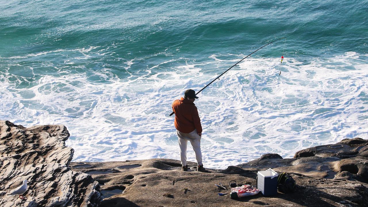
Surfers, rock fishers, and all boat users were also warned that gale force winds could lead “very heavy surf” and large waves across the NSW coastline, including the Illawarra, Sydney, and Hunter coasts regions — namely Seal Rocks and Nelson Bay.
Sydney was shielded from much of the wild weather with sunny skies and a maximum on 19C.
More Coverage
The nation’s capital will likewise dip to a maximum temperature of 14C, with wind gusts recorded up to 50km.
Another front is lining up to cross the south-eastern states from late tonight into Sunday, bringing damaging winds to parts of NSW, VIC and TAS.
— Bureau of Meteorology, Australia (@BOM_au) May 20, 2023
More: https://t.co/rPVVCpWPCkpic.twitter.com/RZCG6Dfky2

The area of possible damaging wind gusts about #Tas has been increased in the latest issue of the severe weather warning to include #Burnie and other nearby parts of the Northwest. The full warning: https://t.co/8cvZh1myxcpic.twitter.com/q6h0uxFmCo
— Bureau of Meteorology, Tasmania (@BOM_Tas) May 20, 2023
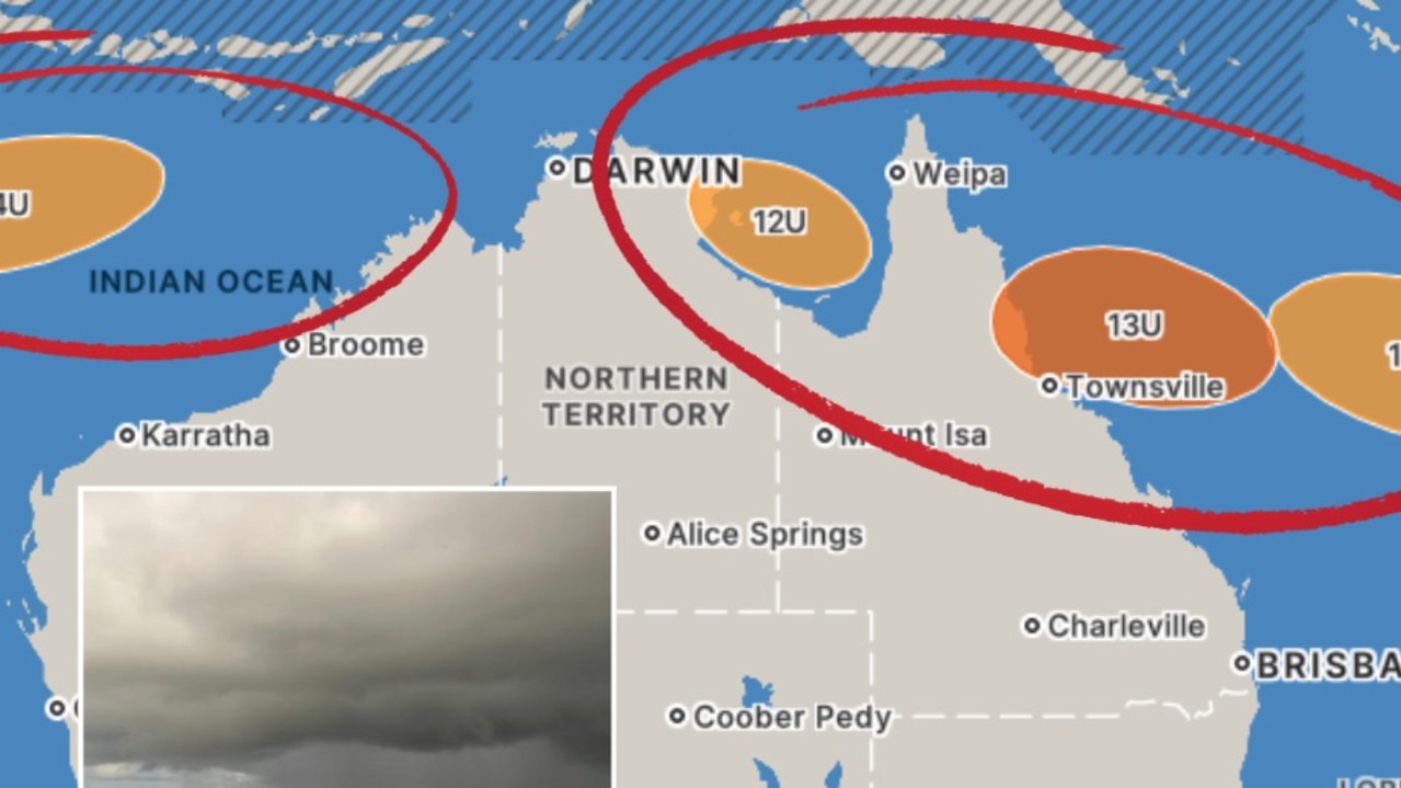
While the state’s northeast is largely expected to escape the worst of the wild weather, BOM forecasters issued a strong wind warning for marine areas of the South East Gulf of Carpentaria, Peninsula Coast, Cooktown Coast, and Moreton Bay.
Brisbane is forecast to be sunny with winds up to 40km in the morning cooling down before a top of 22C.


