Bureau of Meteorology says flooding at Penrith to eclipse 1961 flood
A ‘record rainfall event’ is continuing to smash NSW but Premier Gladys Berejiklian brushed off suggestions a dam should have reduced flood risk.
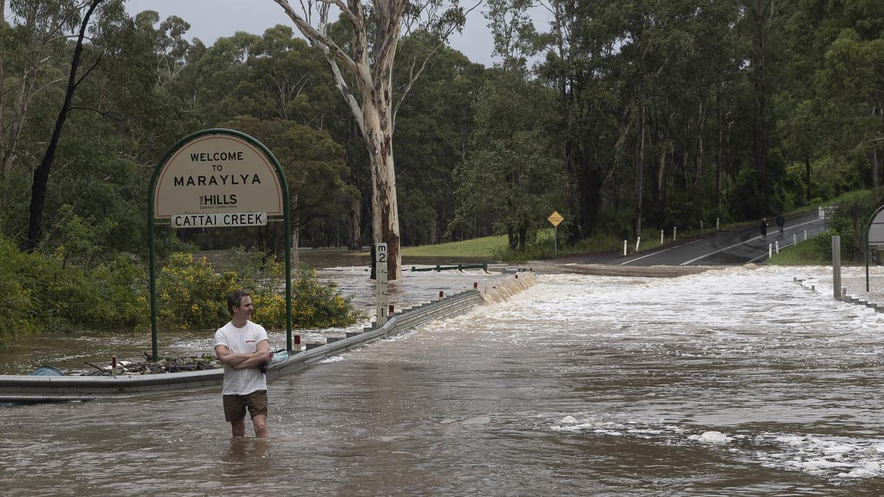
New South Wales is being lashed by a “record rainfall event” which is expected to surge to flood levels not seen in 50 years but Premier Gladys Berejiklian rubbished claims dam management could have reduced the devastating water rise.
Nearly 800mm of rain has swept across parts of the state with more on the way as authorities warn of a potentially “life-threatening” event.
The weather bureau revealed it was particularly concerned by flooding in the Nepean Valley where the Warragamba Dam began to spill on Saturday as water levels continue to rise in Sydney’s west.
“At Penrith we are expecting river levels to be near the 1961 flood,” weather bureau flood operations manager Justin Robinson said on Sunday.
“To give you some context, that is bigger than the February 2020 flood, bigger than the 1988 flood, bigger than the 1990 flood and bigger than the 1964 flood.
“That floodwater at Penrith is then expected to move downstream and impact communities like North Richmond and Windsor.”

State Emergency Service Assistant Commissioner Dean Storey said up to 1500 volunteers and assisting crews were on the ground in the communities grappling with the historic water levels, urging residents to prepare immediately across the state.
“This is, as the bureau has outlined, a dynamic weather situation and it is changing rapidly,” he told reporters on Sunday.
RELATED: ‘Serious risk’: 33 weather warnings issued
“The North Coast is about to get hammered again, the south coast is potentially going to cop some weather as well.
“This is very much a statewide weather event, which requires a statewide response.”

Ms Berejiklian brushed off suggestions the dam should have released water in the lead up to the heavy rain last week to limit the risk of flooding, insisting “we can’t underestimate the ferocity” of the deluge.
She told reporters on Sunday afternoon that water had been released over the last month but nothing could have been done to manage the current surge in Sydney’s west.
“Given the rainfall that we are experiencing in the next few days, you would have had to reduce the capacity of the dam to around 20 to 25 per cent, it just would not have been feasible,” the premier said.
“It is a one in a century event. It is not just the dam, it is the rivers which are overflowing, it is sustained rainfall.”
Weather bureau senior climatologist Agata Imielska revealed 795mm had fallen in Red Oak over the last several days but the deluge will continue across the state.
“Over the next 12 to 24 hours the focus will be on the mid North Coast once again,” she said.
“We’re already seeing rainfall there but we are expecting it to reintensify, particularly tomorrow.
“Broadly, we are seeing rainfall across the NSW coast in the next 12 to 24 hours and it will continue through until Wednesday, which will be the first day that we will see a break in the weather.”
Read related topics:Sydney


