Australians to continue to be hit by severe weather for rest of summer
It’s been a cruel summer for a lot of Australia with wild weather hammering multiple states, and things aren’t looking better for the rest of the season.
Anyone hoping for an end to the severe weather battering all parts of the country will have to wait months, with warnings that more extreme rain and temperatures are on the way for the remainder of summer.
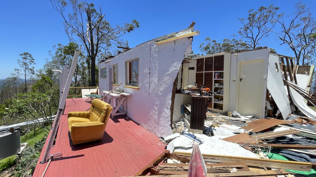
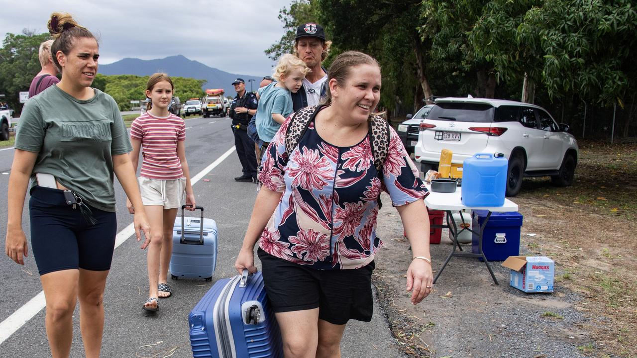
This summer is likely to be remembered for floods and cyclones, with Queenslanders particularly impacted by metres worth of rain dumped within days by ex-Cyclone Jasper and other wet weather systems that have plagued the state since December.
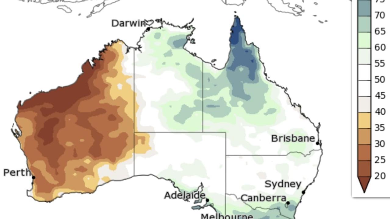
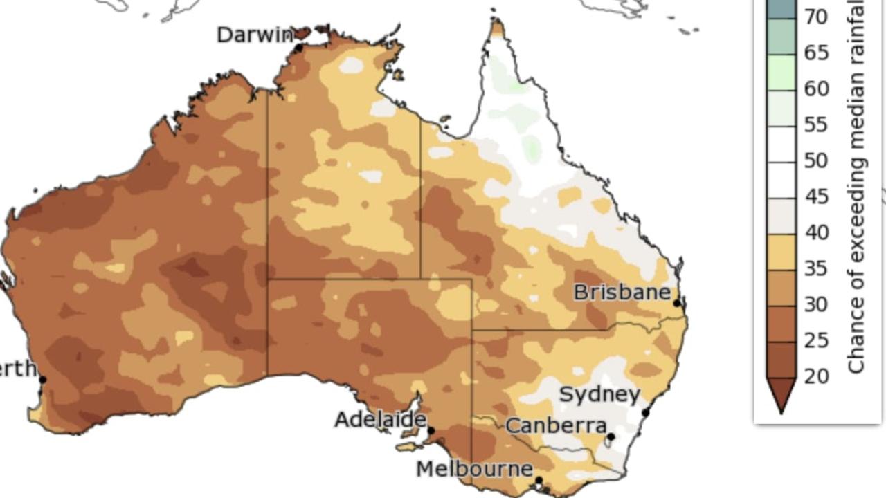
Large parts of Victoria and South Australia have also been inundated by water, having already reached their entire summer’s worth of rainfall.
While the east is drenched in water, the west has been sweating through extreme temperatures, as waves of hot air regularly raise the mercury toward 40C degrees.
Perth beaches are now facing the prospect of algae blooms brought on by the heat, and there’s grim news for those hoping for a cool change, with the Bureau of Meteorology expecting dry conditions to continue.
NEW CYCLONE
It’s grim news for Queenslanders already struggling to deal with the aftermath of ex-Tropical Cyclone Jasper, as another extreme weather system could be on the way for the Far North.
Just over a month after Jasper devastated Cairns and surrounding areas, a developing tropical low 600km off the east coast could turn into quite a storm over the coming days, according to Weatherzone meteorologist Ben Domensino.
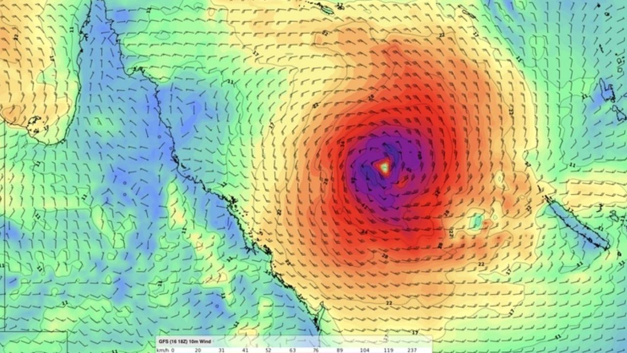
“Most forecast models expect the low to strengthen over the warm waters in the eastern Coral Sea during the weekend, with a high chance of the system becoming a tropical cyclone on Sunday or Monday,” he said.
With the weather system currently brewing, forecasters are uncertain about where the cyclone will move and how strong it will become. However, Mr Domensino says the storm will begin to move east in the coming days before it will stall over eastern parts of the Coral Sea where it will pick up steam.
The Bureau of Meteorology has forecast the Cyclone could impact residents between Cooktown and Mackay by Wednesday next week.
“There is a significant risk that this system may impact the Queensland coast during next week. A severe impact is possible,” the Bureau warns.
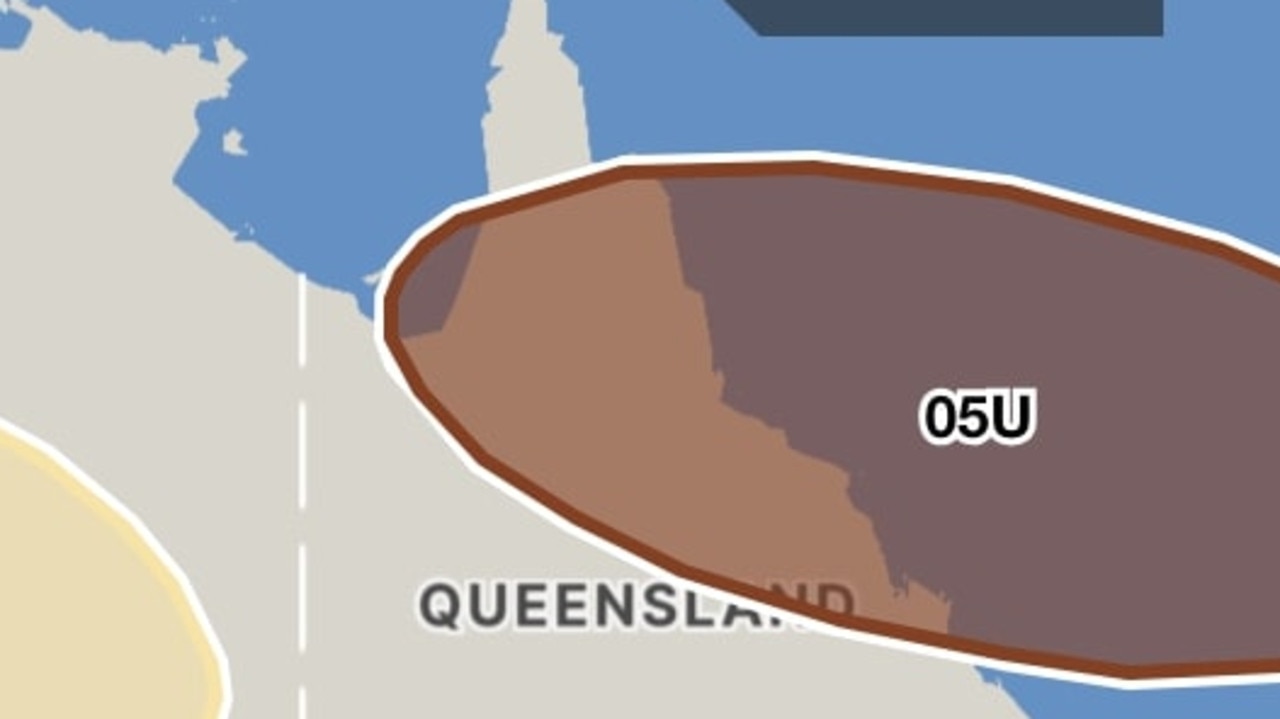
Residents are asked to keep an eye on official warnings from the Bureau as the storms develop.
RAIN, RAIN, RAIN
After a turbulent few months of storms, things are set to get wetter before they dry up according to the Bureau’s long-range forecasts.
The forecaster is predicting a wet end to January for the east coast as well as in the north of the country thanks to a strong monsoon trough that’s soaking the Top End and Far North.
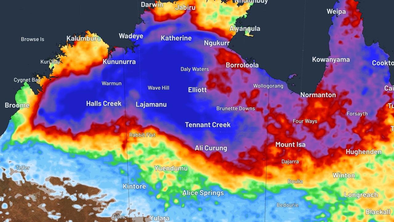
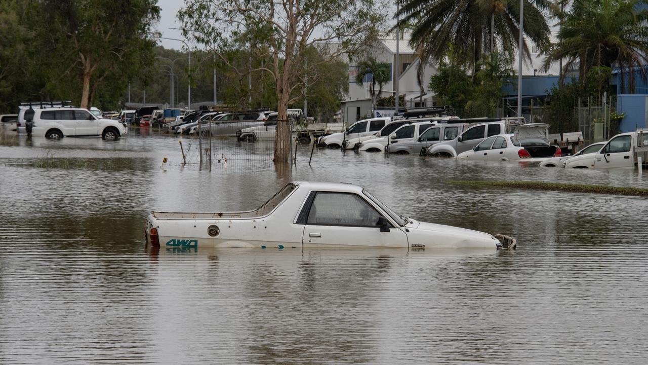
Those in Katherine, Tennant Creek, Nhulunbuy, Elliot and Kalkarindji in the Northern Territory have been warned that dangerous and life-threatening flash flooding is still on the way, with up to 200mm of rain likely to fall in just six hours over the weekend.
Residents have been urged to make their own sandbags to fight back against flooding, with authorities urging people to stuff pillowcases or shopping bags with sand and place them in doorways.
Things aren’t much better in Queensland, with an 80 per cent chance of higher-than-average rainfall in the north next week.
To make matters worse, the Bureau is predicting that parts of the state could be two and a half times more likely to see extreme wetness in the same period.
CRUEL SUMMER
After the drenching, El Nino is tipped to finally bring in the dry heat it’s famous for -- and it’s likely to be ferocious.
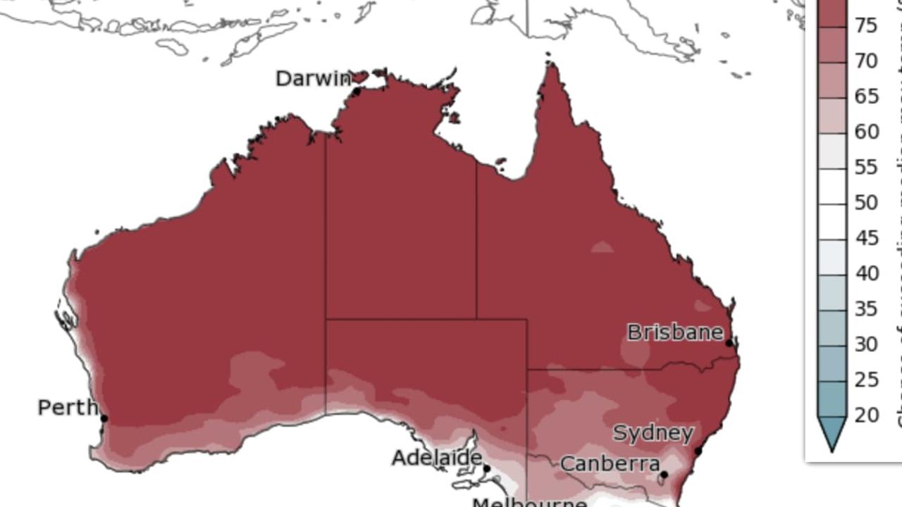
From February, the Bureau is predicting that the mercury will soar across the majority of Australia, with its prediction map of the country’s heat covered in red.
There’s up to 80 per cent chance of temperatures above the average across the board, save a cool spot in eastern Victoria.
The worst of the heat will impact parts of WA, which has already been hit by high temperatures this summer.


