Storms set to smash ‘all states and territories’
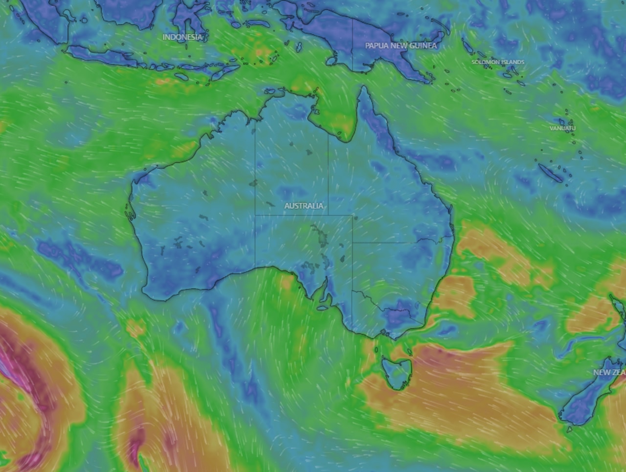
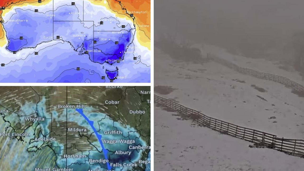
Warm waters around Australia are providing the perfect conditions for a hectic week of weather with storms just about everywhere and heatwaves.
It’s set to be a grim week of weather with forecasters predicting rain and storms in every state and territory.
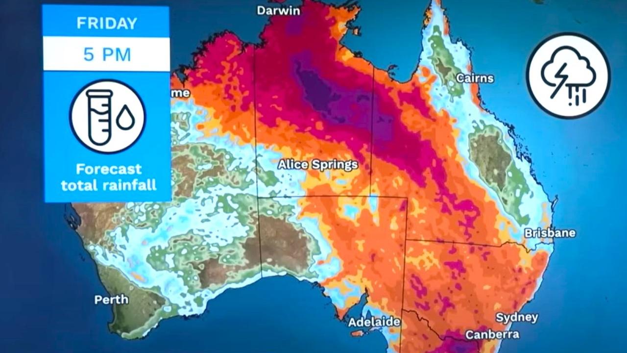
In places, the entire average rainfall for November could fall in just the next few days, possibly north of 100mm.
The last week of spring could also see heatwaves.
Adelaide could reach 33C on Tuesday, Sydney the same on Wednesday and Perth 35C on Friday. Parts of Sydney could breach 40C this week as a heatwave continues along the NSW coast.
The unsettled conditions are being driven by warm ocean waters around Australia. Off Western Australia’s northwest coast, sea temperatures could get as high as 32C.
As a result, millions of Australians have been warned of potential electricity blackouts as the grid struggles to cope with the sudden and sustained use of air conditioning units.
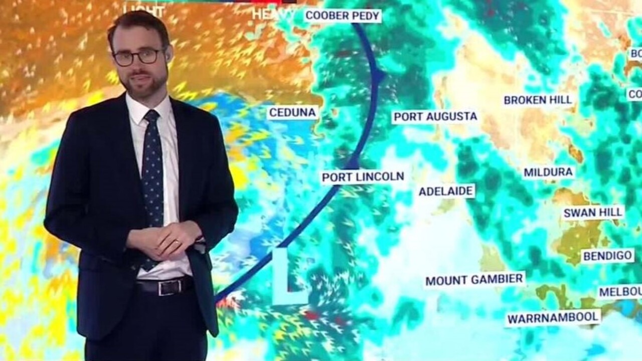
“As sea surface temperatures rise, the amount of water vapour in the atmosphere, or moisture increases, and this is fuel for thunderstorms,” said Bureau of Meteorology (BOM) meteorologist Jonathan How.
The stormy conditions, driven by all that moisture, are bubbling up in the country’s tropical north and then being dragged down toward the east and south east. Meanwhile, water vapour in the Pacific Ocean is adding to the weather mix.
“It’s going to be a wet week ahead for much of Australia, with rain and storms expected across every state and territory,” said Mr How.
“By Wednesday, we could see accumulated rainfalls exceed 50mm across parts of Victoria and the Northern Territory.
“From Thursday and Friday, that’s when we start to see rainfall totals building in NSW and southern Queensland.
“This will help to ease some of those heatwave conditions through there and by Friday night we could see large parts of the country approach or even exceed the average monthly rainfall for November.”
Mr How said the rainfall was expected to come down mainly in the form of thunderstorms and showers and therefore it would be possible for one area to get a sudden drenching while nearby might get very little rain.
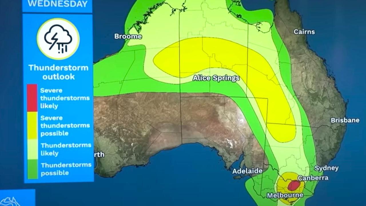
On Tuesday, severe thunderstorms are possible across central Australia, Adelaide and western Victoria and in a line heading down from central NSW to eastern Victoria. Many other parts of western Queensland, all of the Northern Territory and northern WA could see less severe storms.
On Wednesday, the area for possible severe storms moves into Victoria and Tasmania with lesser storm risks in Darwin, Canberra and Sydney.
Perth will see temperatures in the mid to high twenties for the next couple of days with the prediction for 32C on Thursday and 35C on Friday. It should be sunny with little to no rain or storms.
It’s forecast to be cloudy and hot in WA’s north west with mid-thirties maximums in Karratha. Derby could see storms on most days.
Stormy in Darwin with up to 15mm of rain on Tuesday and then 10-15mm for subsequent days. The mercury will bob around 33C.
There could be a possible storm in Alice Springs during the afternoon and evening on Tuesday.
Katherine is also looking wet with multiple days of possibly around 15mm or 20mm falling all the way into the weekend. If the upper range of forecasts eventuate, Tennant Creek could record 90mm of rain between Wednesday and Friday.
A high of 33C in Adelaide on Tuesday with the chance of a thunderstorm from late morning bringing up to 6mm of moisture.
Further rain for Wednesday but the storm threat should diminish and the maximum will also dip to 23C.
Melbourne could see an afternoon storm on Tuesday and another on Wednesday bringing anything from 5-10mm of rain. Temperatures will peak at 25C on Tuesday and then 28C on Wednesday before parking around the mid-twenties.
Storms most days up to the weekend are forecast for Wangaratta with 6-30mm of rain on Wednesday.
In the east, Portland could see storms of Tuesday and Wednesday with similar in Gippsland in the east.
Hobart will max out at 24C on Tuesday and Wednesday before dropping to around 17C highs for the rest of the week. Wednesday could see up to 20mm of rain and a thunderstorms with Thursday bringing a possible 15mm.
Southern NSW is looking to be stormy and soggy. Wagga will see multiple days around 28-29C this week with storms possible every day until Sunday. Between 5 and 25mm of rain could fall on Wednesday.
NSW heatwave - blackouts feared
Sydney will see days above 30C until Friday with Wednesday set to hit 33C. In Penrith, in the city’s west, 40C is on the cards for midweek.
Storms in Sydney are possible on Thursday and Friday. The nights will be warm too with a minimum of 22C early on Thursday.
The BOM has forecast a heatwave for almost the entire NSW coast, with the exception of the northern rivers. A severe heatwave is expected from Sydney southward possibly stretching into Thursday. Nowra may get up to 35C on Wednesday.
NSW Premier Chris Minns on Monday acknowledged the electricity grid could be under pressure.
“We will be as quick as possible with updates to the community about potential interruptions with supply,” Mr Minns said.
NSW Minister for Energy Penny Sharpe urged people to conserve energy, asking them to consider whether it was necessary to “have every single light on in the house” on a hot day.
“Do you need to have your airconditioning down at 19 degrees?” Ms Sharpe asked.
Queensland conditions
Crossing into Queensland, and Mt Isa has a forecast of thunderstorms from Tuesday until Friday. If they arrive they could bring large amounts of rain with 3-30mm possible on both Wednesday and Thursday.
For Townsville, storms are unlikely but there could be showers here and there this week.
Brisbane may also miss out on the storms with intermittent showers and highs of between 29 and 30C for the coming days. The weekend could be wetter, however with Sunday possibly getting falls of up to 20mm.
Authorities have also issued blackout warnings for Queensland, with the highest-risk of blackout times being between 3.30pm and 7.30pm.
With NCA Newswire


