
NSW, Victoria hit by low pressure system
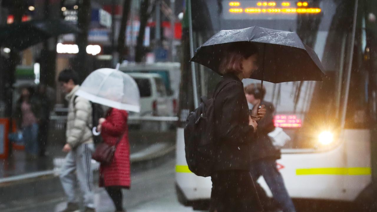
A large, complex weather system is sweeping Victoria and parts of NSW dumping heavy rain carrying the risk of flash flooding.

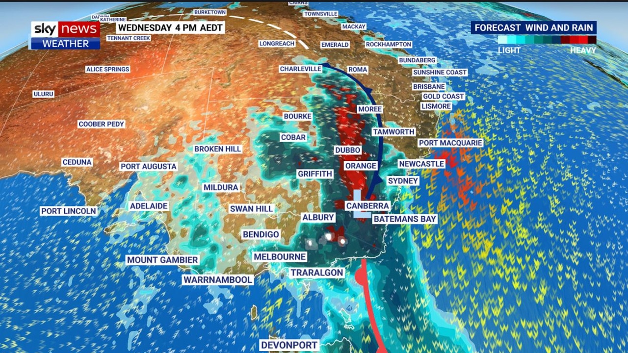
A massive weather system straddling two states is dumping heavy rain and carrying the risk of flash flooding in Victoria and southeast and inland NSW.
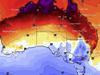
The low pressure system has intensified over the eastern states with wind gusts reaching 100km/h in parts of Victoria and rainfall totals exceeding 150mm in Gippsland — which is in the southeastern part of Victoria.
Sky News meteorologist Alison Osbourne told news.com.au that over the last 24 hours heavy rain has been building through eastern Victoria extending into southern NSW.
“That rain has broken daily rainfall figures and triggered a number of river rises,” she said.
“For the remainder of the day that threat persists with more heavy rain while thunderstorms through outback NSW are forecast to intensify as they push towards the coast and they are looking quite nasty with risk of wind damage and potential flash flooding.”
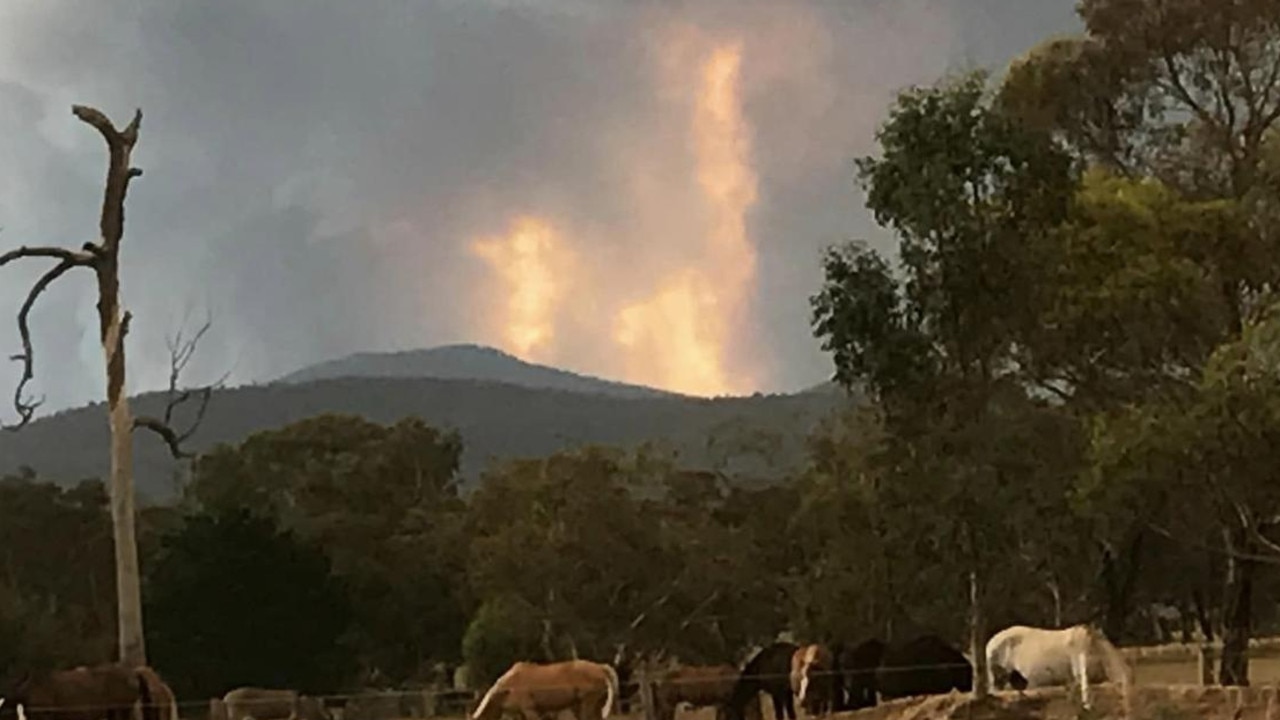
The weather system comes as bushfires ravaged the NSW south coast on Tuesday night with numerous homes destroyed.
‘Two major stories’
Bureau of Metereology senior meteorologist Angus Hines told news.com.au that Aussies should be watching for “two major stories” developing across the country.
Mr Hines said the “significant weather system moving across southern Australia over the last couple of days alongside a cold front has enhanced the strong winds and widespread rain associated with the weather system”.
Mr Hines said there had been totals in the mountains of Victoria over 200mm with Mount Hotham recording a whopping 207mm.
He said if there was a “silver lining” it was that the weather event has helped “subdue a number of large fires burning in Gippsland prior to this weather event”.
But the rain had resulted in flood watches being issued for eastern parts of Victoria and NSW – the Macalister River and the Avon River in Gippsland.
The most serious this morning is for the Acheron River at Taggerty in central Victoria, where people are warned to avoid the flooded area.
It could possibly reach 2.6 metres, a moderate flood level, on Wednesday.
Mr Hines said there is a “likely to be more flood warnings” as the day unfolds.
Fire risk in NSW
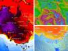
The “second story”, according to Mr Hines is that there is still “elevated fire weather with dry and strong northerly winds for parts of NSW as well as the centre of the country with a number of spots at extreme fire danger” before the rain is expected to hit.
Mr Hines said there was particular concern for a large fire near Bega on the NSW South Coast.
Overnight an unknown number of homes were lost in the fire which had been burning since Tuesday.
“This fire was burning at emergency warning level yesterday evening and overnight and is now down to watch and act warning,” he said, describing it as a “watch point”.
Some very “active thunderstorms” will move through the day eastwards and could include “large hail”.
“As this rain sweeps across the state from the south west it is likely to move up the coast of NSW probably reaching Sydney and other populated strips late afternoon and evening,” he said.
A hazardous surf warning has been issued by the BOM for most of the NSW coast from the Macquarie to Eden coast.
These conditions will ease across NSW and Victoria during Thursday with cooler temperatures lingering into the weekend.
carla.mascarenhas@news.com.au

Millions brace for brutal cold fronts
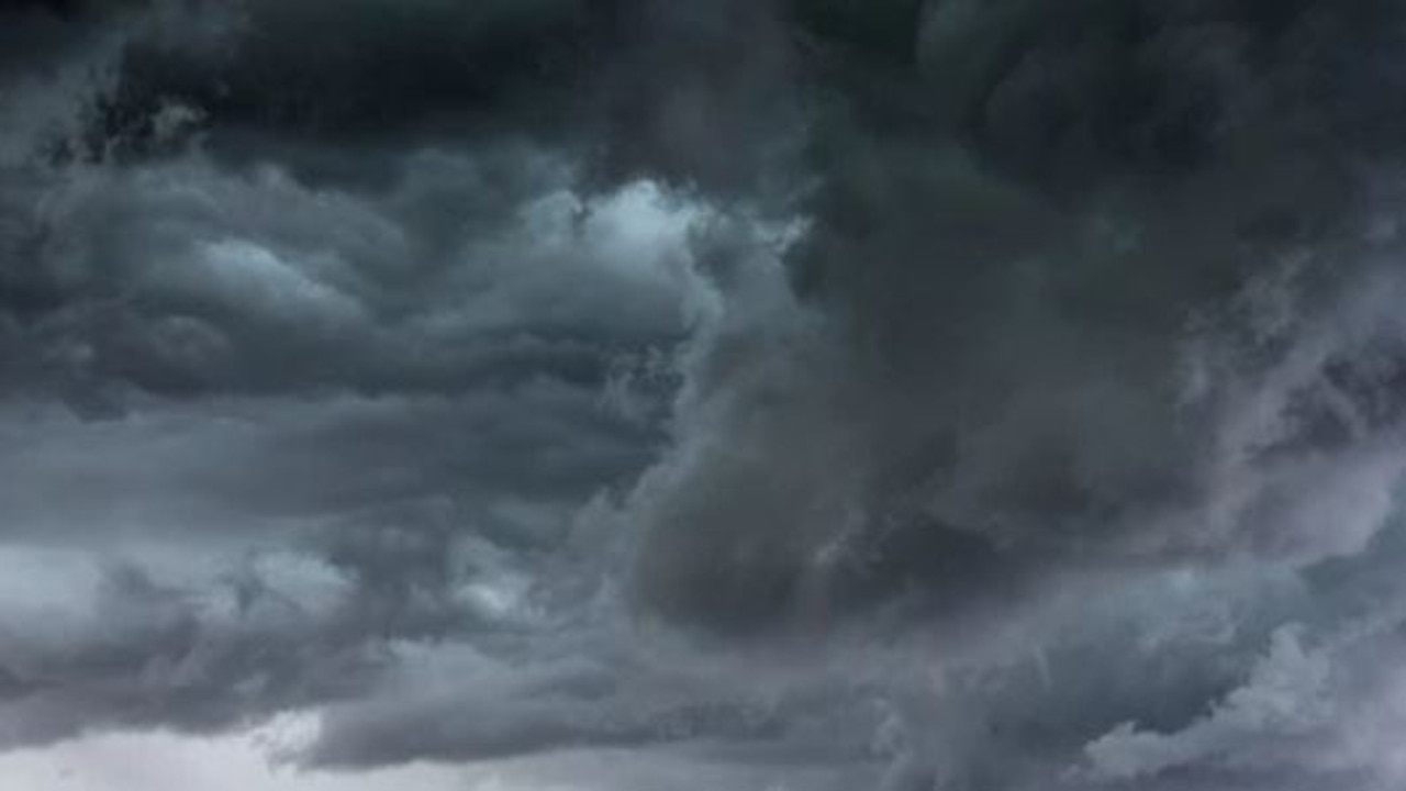
A fresh wave of wild weather is preparing to lash Australia, bringing freezing winds, thunderstorms and icy blasts to millions.

Wild weather warning for this capital city
There will be “one last sting in the tail” of the polar air blast that has marched across Australia, with wild winds to continue battering the nation.

‘Lost everything’: ‘Bomb cyclone’ no fizzer
Just because you weren’t affected didn’t mean the “bomb cyclone” weather event was overhyped. Not everyone was so lucky.