Flood warning issued for multiple Qld rivers as east coast stares down 50mm+ downpours
The east coast of one Aussie state is forecast to cop isolated rainfall totals of over 50mm in the coming days, with multiple flood warnings being sent out for rivers across the state.

Multiple flood warnings have been issued for rivers and creeks across Queensland as the state braces for storms which could dump more than 50mm on some parts of the state in the coming days
The Bureau of Meteorology has forecast heavy rainfall to hit the eastern parts of Central and Southeastern Queensland from early next week, with totals of up to 40mm in some areas.
“It’s not eye-popping rain, not too alarming … (but) it’s decent rain for sure,” meteorologist Angus Hines said.

Mr Hines said an onshore easterly flow developing across Thursday and Friday and then an “upper level weather feature” early next week would deliver the dark clouds and rain.
“I think plan ahead, definitely,” he said.
In its latest update from Friday afternoon, BOM said the rain dump would likely begin brewing in North Queensland from Sunday before hitting the southeast on Monday and Tuesday.
The bureau warns “isolated minor flooding” could develop from the weather event.
Rainfall to increase about northeastern Queensland from late this weekend, and central and southeastern Queensland early next week. Moderate to locally heavy rainfall possible. Showers should ease in southeastern Queensland from Wednesday.
— Bureau of Meteorology, Queensland (@BOM_Qld) August 9, 2024
See forecasts: https://t.co/jD6i6N90SS pic.twitter.com/xixBFg9kZO
“Rainfall will increase about northern Queensland later on Sunday and is expected to move south and intensify from Monday into Tuesday,” BoM’s alert states.
“Heavy rainfall is forecast over the flood watch area from Monday until Wednesday morning.
“There is a significant uncertainty in the timing and location of the rainfall, although the coast and adjacent ranges are most likely to see the heaviest falls.
“Localised river level rises and flash flooding are likely within the areas of heaviest rainfall, with isolated minor to moderate riverine flooding possible.

“Due to the localised nature of the heavier falls, at this stage it is not possible to be more specific about the areas of highest flood risk.
“Flooding may result in disruption to transport routes and isolation of some communities.”
BOM said the Mary River, Noosa River, Sunshine Coast Rivers and Creeks, Pine and Caboolture Rivers, Upper Brisbane River, Lower Brisbane River, Logan and Albert Rivers and Gold Coast Rivers and Creeks catchment areas were the most likely to be affected.

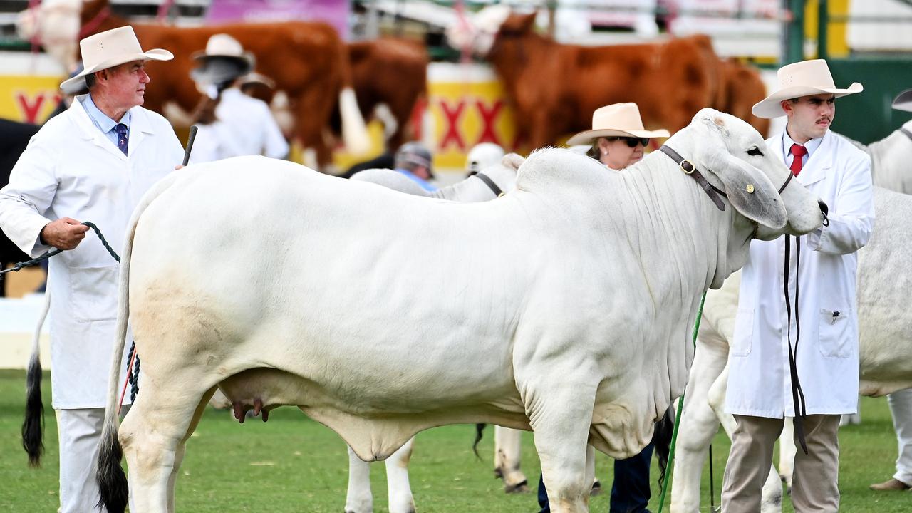
The rain dump is also expected to hit the state’s beloved EKKA festival in Brisbane.
The EKKA, or The Royal Queensland Show, runs from Saturday, August 10, through to next Sunday, August 18.
The rain dump looks set to hit on August 12 and 13.
The show is held at the Brisbane Showgrounds in the centre of the city.
It boasts a mix of agricultural display with thrill rides, dodgem cars, showbags, performances and food.
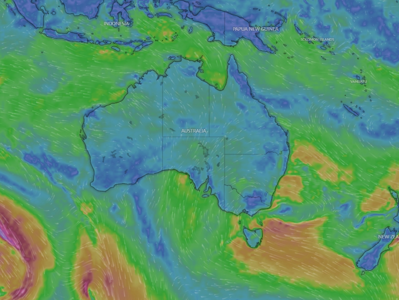
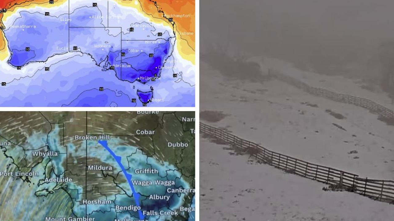
For the rest of the country, Mr Hines said Australians could expect warm weather through to Wednesday, with the heat rising first in Western Australia and then spreading to South Australia, Victoria and Tasmania.
“It’s going to be a predominantly fine, sunny weekend,” he said.


