Elevated fire risk for east coast ahead of widespread rainfall for most of the country
Much of the country is set to receive a drenching this week, but one state has been warned of an elevated fire risk before the rain arrives.
Hot spring air is predicted to elevate fire warnings on the central east coast before a rain dump hits northeast New South Wales this week.
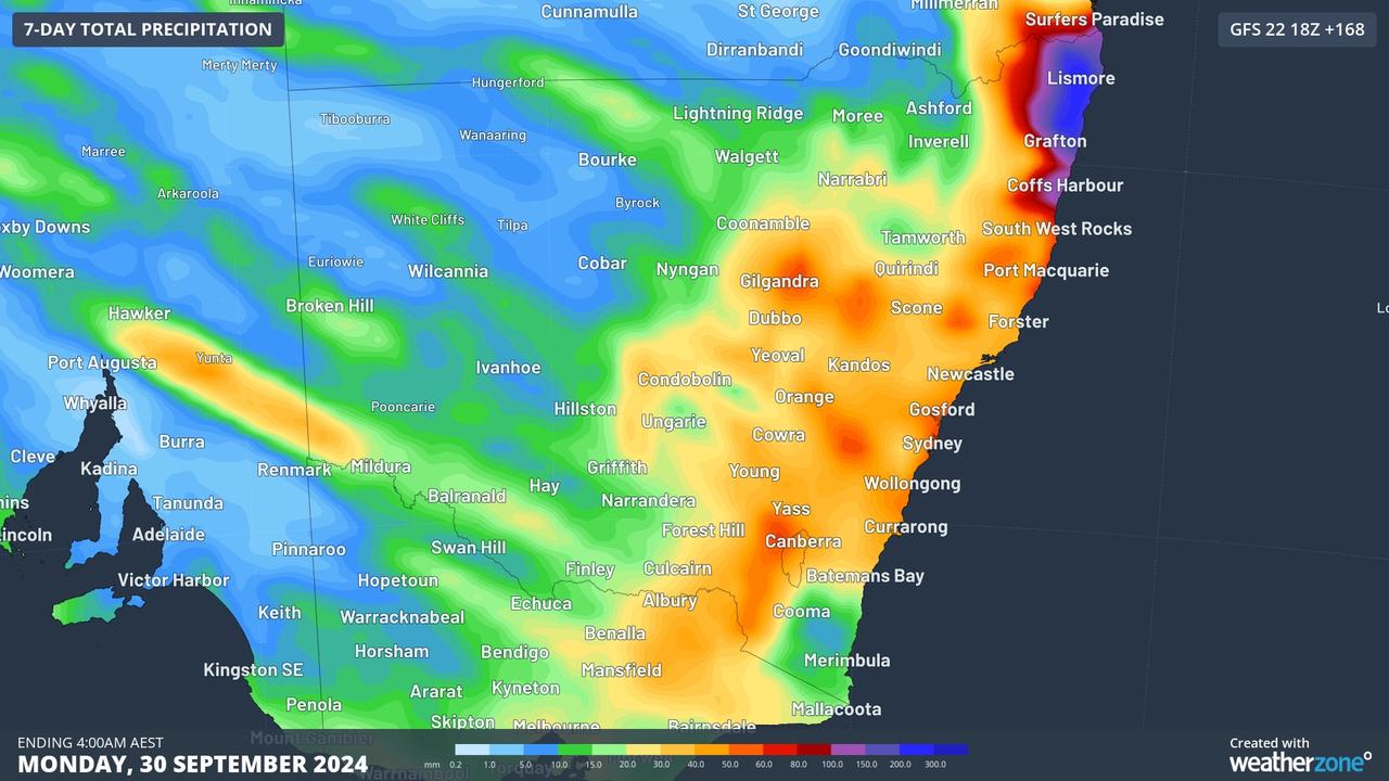
Forecasts from the US National Centers for Environmental Prediction shows the most cumulative rain over the coming seven days is centred around Lismore.
At this stage the Bureau of Meteorology expects Lismore to get up to 25mm of rain on Friday and Saturday, combined.
The wet weather is being driven by clouds coming across the desert, which means hot air.

Combined with gusty conditions, WeatherZone predicts an elevated fire risk for eastern New South Wales.
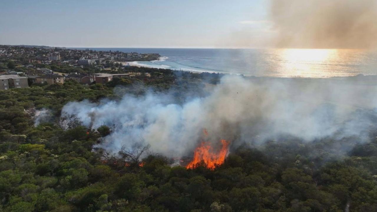
A hazard burn in Sydney’s northern beaches got out of control for a time on Saturday because of windy conditions.
Firefighters have been called to other large bushfires in northeast New South Wales in the past few days.

On Tuesday morning, firefighters were at a 270ha bushfire in the Richmond Valley council area, inland between Lismore and Grafton. As at 12.30am Tuesday, that fire was being controlled, information from the NSW Rural Fire Service shows.
That cloud system, which is heading across the country toward the east coast, dumped heavy rain on WA’s Pilbara region over the weekend.

The towns of Wyndham, Newman and Fitzroy Crossing had their wettest September days in 50 years overnight Saturday into Sunday.
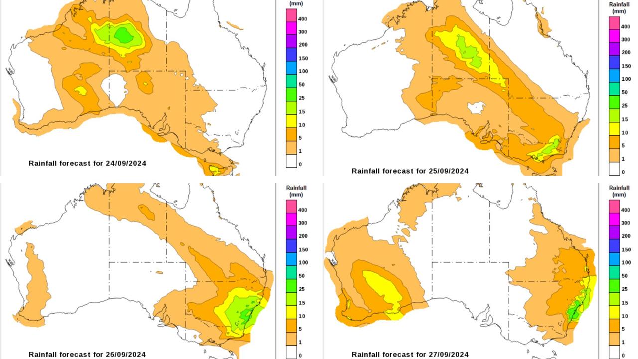
More than 80 per cent of Australia is expected to see rain this week, with rain and thunderstorm activity to continue to spread across central and southern Australia on Tuesday before heading across the southeast from Wednesday, followed by eastern areas of the country on Thursday.
BOM meteorologist Dean Narramore said heavy rains and thunderstorms across the Northern Territory and into eastern Western Australia could cause problems for locals and travellers later in the week.
“Forecast rainfall could lead to flash and riverine flooding in these areas,” Mr Narramore said.
“But of more concern are our dirt roads and travellers in this area as rainfall will likely lead to muddy and impassible roads and travel restrictions and possible brief isolation of any residents in this area.”
He urged locals and travellers to stay across the forecasts.
Despite the forecasts for the east coast, footy fans from the AFL heartlands of Sydney and Brisbane should not fret; Conditions for the Grand Final on Saturday in Melbourne are forecast to be “perfect”, according to WeatherZone.
The MCG will be measuring about 21 degrees at bounce down at 2.30pm local time, with sunny skies and just a few gusts of wind.


