
Cyclone Kirrily: 250,000 people around Townsville at threat as storm set to hit
Cyclone Kirrily could hit Townsville within just hours with warnings of 140km/h wind gusts and rain totals of 200mm.

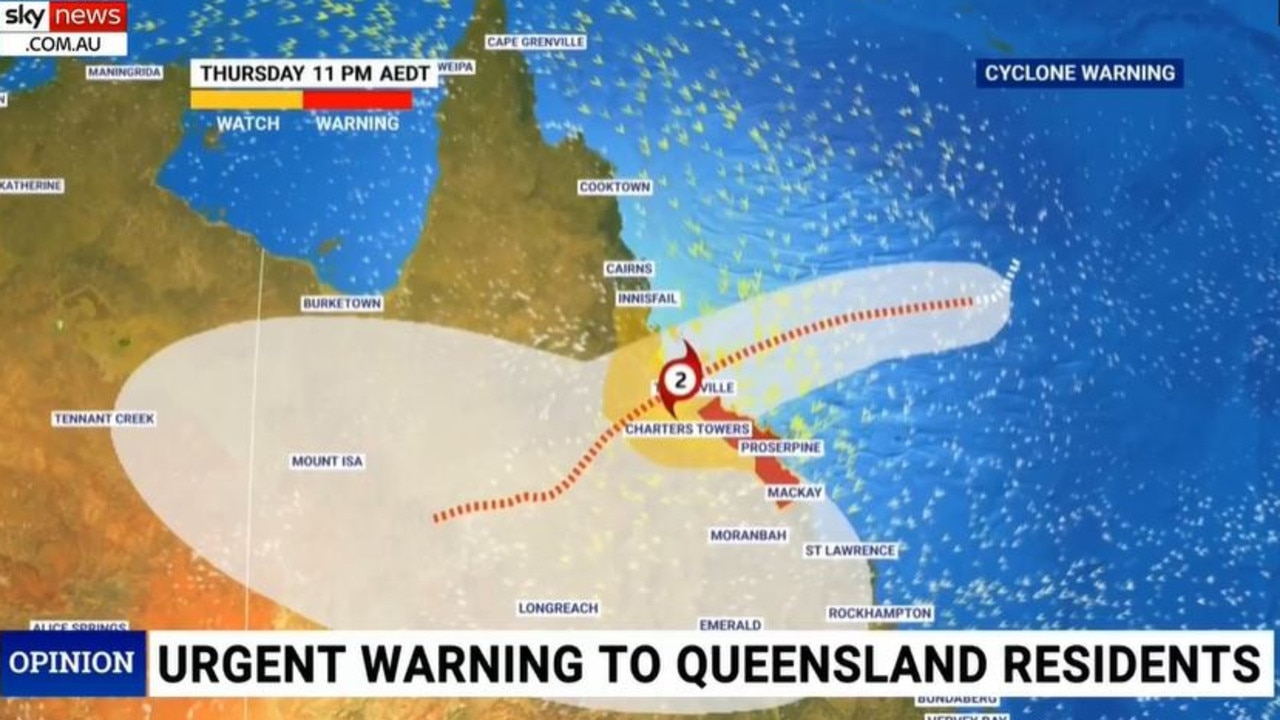
More than 250,000 Queenslanders are being warned to prepare for up to 24 hours of “life threatening” weather mayhem with Cyclone Kirrily within hours of making landfall.
It could bring with it up to 200mm of rain and gusts of 140km/h.
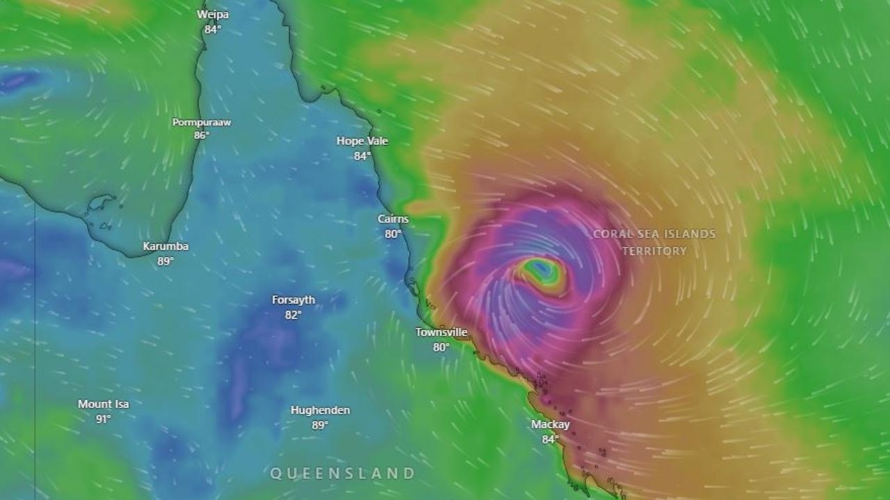
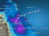
Kirrily went from a tropical low to a tropical cyclone, as a category 1 storm, on Wednesday afternoon.
It is expected to cross the coast as a category 2 cyclone late on Thursday, or possibly first thing on Australia Day.
Early on Thursday morning it was situated around 400km north east of Townsville in the Coral Sea.
It’s currently thought that Townsville could see a direct hit from the cyclone. Although cyclones can change course – as such it could make landfall anywhere from south of Innisfail to Mackay.
The cyclone is then expected drive inland towards Charters Towers weakening back to a tropical low as it goes.
For residents of Cairns it looks like Kirrily’s path will avoid the north Queensland city.
“If you live near where the cyclone crosses, or just to the north and south, you’re likely to experience damaging and destructive winds that can bring down trees and power lines and cause some property damage,” said Bureau of Meteorology (BOM) meteorologist Dean Narramore.
Gusts of up to 140km/h are expected to develop on Thursday night along the coast. A storm tide could lead to minor flooding along foreshore areas that threatens to damage homes.
“People between Innisfail and Sarina, including Townsville, Bowen, Mackay, and the Whitsunday Islands, should immediately commence or continue preparations, especially securing boats and property using available daylight hours,” the BOM stated.
“People in inland areas to Charters Towers should take precautions and listen to the next advice.”
‘Category we deem life threatening’
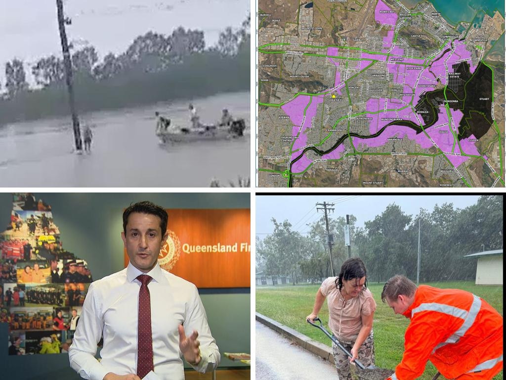
Townsville mayor Jenny Hill said up to 12,000 homes in the city could be damaged particularly in suburbs on the ocean.
Evacuation centres have opened in Townsville at the Secondary College and on Walker Street in the CBD.
In the potential impact zone, more than 120 schools have been closed as a precaution.
“We’re expecting (rain) accumulations well over 200 kilometres in a 24 hour period,” said Sky News Weather meteorologist Alison Osborne.
“That is the category that we deem life threatening.
“When rain comes down that heavily, we generally see water rushing through the streets and very dangerous driving conditions.
“That water has to go somewhere; it’s going into the rivers so we could see minor and even major flooding,” Ms Osborne added.
Tropical Cyclone Kirrily has offically developed in the Coral Sea as a category 1 system about 630 km east northeast of Townsville. It's likely to cross the Qld coast Thursday night between Cardwell and Bowen as a cat 2.
— Bureau of Meteorology, Australia (@BOM_au) January 24, 2024
Latest: https://t.co/Y45zee6v5Fpic.twitter.com/E7ksLR6FSh
Airport, ports closed
Queensland Premier Steven Miles said 54 emergency services personnel had been deployed to Townsville.
“It is important Queenslanders consider what travel is necessary from Thursday and into the weekend,” he said.
Townsville Airport will shut down from noon on Thursday.
On Thursday morning, Virgin Australia had cancelled all flights due to arrive in Townsville, most before the airport closed.

Jetstar flights to Townsville from Brisbane and Sydney have continued to operate. Qantas and Jetstar flights due to depart before noon were still on track to leave.
Whitsundays Coast Airport said it was “monitoring” the weather situation and warned flights could be disrupted. In a statement, Mackay Airport said it was remained open but some flights services from Thursday afternoon would not operate.
Ports across the area have already been closed with vessels in those facilities now unable to be moved.
‘Dangerous situation’: Grim weather warning
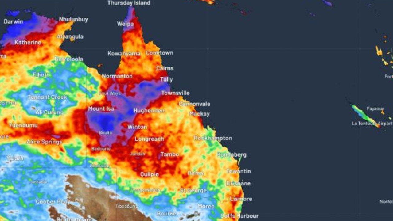
Forecasters are warning of a “dangerous … multi day outbreak” of dire weather, with storms, heavy rains and floods all possible.
‘Expect more’: Dire warning after floods
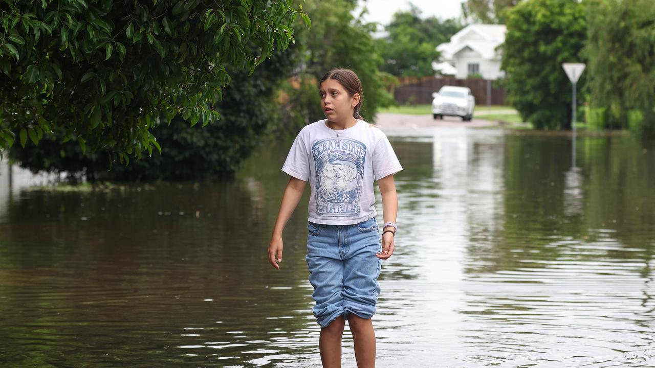
North Queensland has recorded its second “once-in-a-century” flood since 2019, and one thing made the rainfall heavier.
‘Leave now’: Urgent plea amid flooding event
A person has died and thousands remain without power as dangerous floodwaters inundate towns and cities in north Queensland.