
More wild weather tipped to lash eastern Australia, bringing flash flooding and dangerous conditions
Victoria will be largely spared on Friday as wild weather is set to lash eastern Australia but some towns are at risk of flooding after heavy rain.
Victoria will be largely spared on Friday as wild weather is set to lash eastern Australia before easing into the weekend.
But a major flood warning remains in place for parts of the state.
The Bureau of Meteorology says a low-pressure system off the southern NSW coast will linger near East Gippsland on Friday, before moving over the Tasman Sea by Saturday.
More than 80mm of rain fell at Mt Elizabeth and Mt Moornapa in the state’s east on Thursday, but Gippsland residents have been told to no longer expect heavy rainfall.
Bureau duty forecaster Richard Russell said rain in the region was “tapering”.
“Thankfully, we’ve been seeing a good easing,” he said.
“But (the state’s east) will still see light rain and drizzling.”
Heavy rain through Gippsland yesterday saw rainfall totals of 50 to 100mm. Heavy rain is no longer occurring but rain & showers will continue through Gippsland today, easing later. A number of flood warnings are current, as river levels rise. Check here: https://t.co/FrpDyBQi4Kpic.twitter.com/6dinEmbZop
— Bureau of Meteorology, Victoria (@BOM_Vic) December 9, 2021
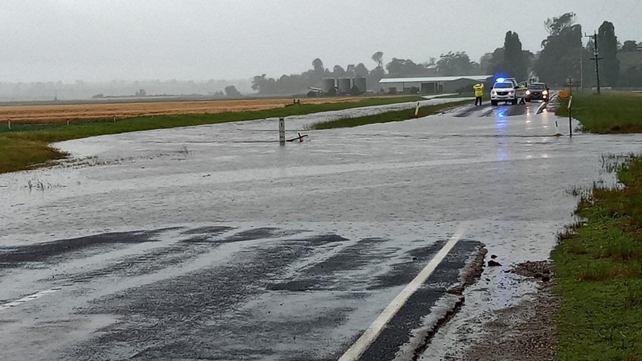
However, major flooding is possible at Buchan and along the Snowy River from McKillops Bridge to Orbost, while moderate flooding may occur at Glenaladale, Bairnsdale and Weeragua.
“Water that has fallen in the previous 24 hours still has to get into river systems,” Mr Russell said.
A severe weather warning for damaging winds issued for parts of East Gippsland, North East Gippsland and West and South Gippsland has been cancelled.
Motorists in East Gippsland were put on alert for flash flooding on Thursday, with the SES posting a photo to Facebook of the floodwaters between Lindenow and Walpa.
A car also became stuck in floodwaters in Altona Meadows in Melbourne on Thursday, trapping three of its occupants.
Melbourne is heading for a top of 19C on Friday, with a medium chance of a light shower or two.
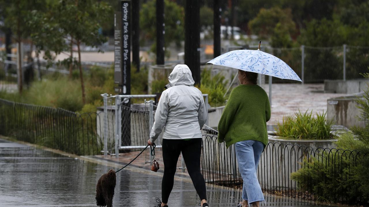
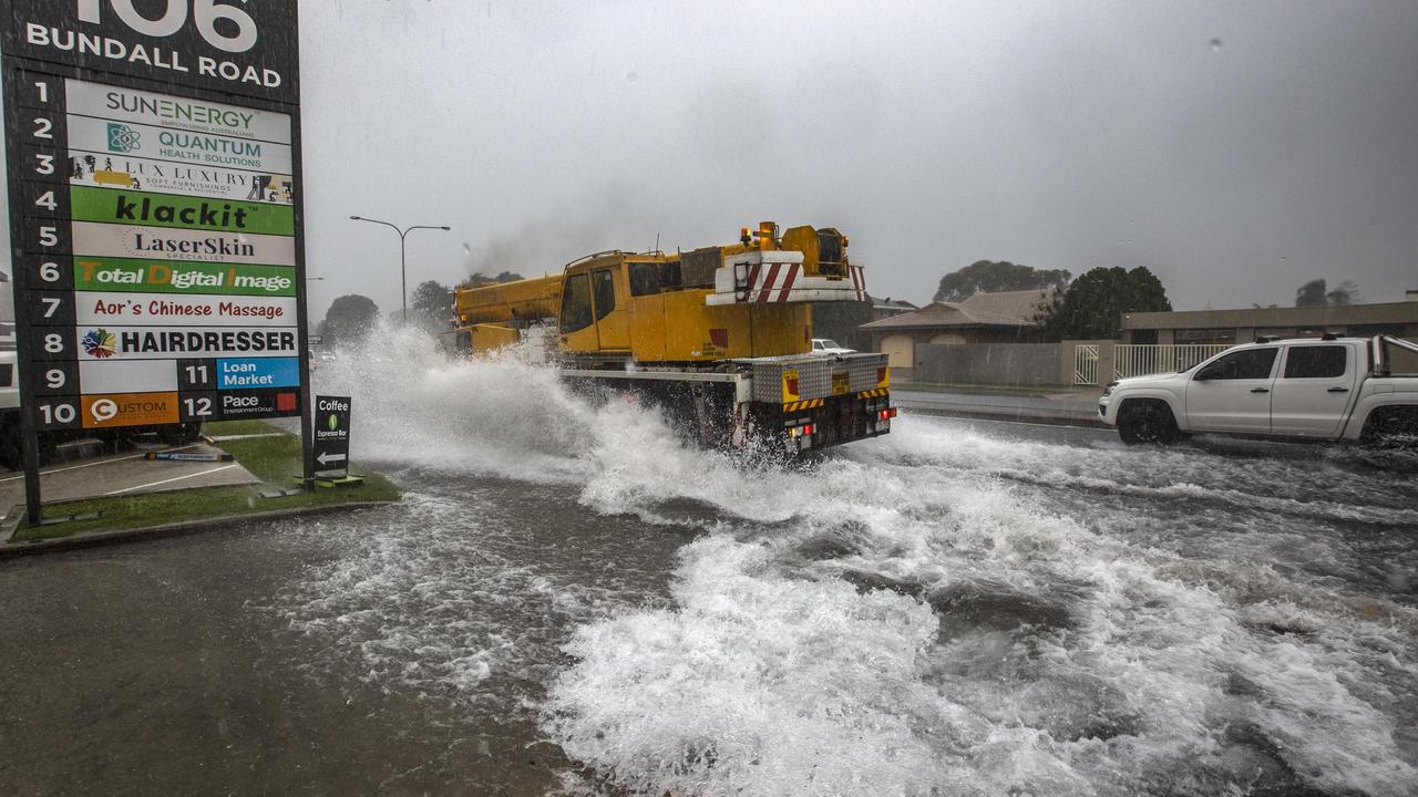
The wild weather expected across eastern Australia is tipped to bring torrential rain and the chance of flash flooding to much of NSW.
Overnight, heavy rainfall increased for NSW and Victoria’s east, continuing throughout Friday with predicted falls of as much as 100-200mm in some coastal areas.
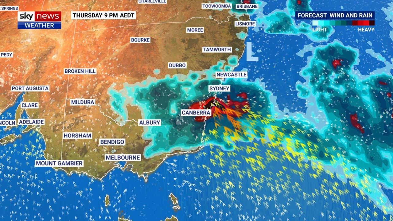
Showers and thunderstorms are expected to affect much of NSW, bringing large hail, damaging winds and heavy rainfall, with major flood warnings in place for many inland rivers.
The Genoa and Snowy Rivers are of particular concern, with moderate to major flooding predicted.
Queensland is also facing severe thunderstorms for the back part of the week, ranging from Brisbane up to Rockhampton and central parts of the state, prompting flood warnings for river areas.
Meanwhile, the country’s west faced vastly different conditions, with temperatures in Perth reaching 40C on Wednesday, the city’s hottest day since January.
Hot and dry conditions brought elevated fire danger, and on Thursday a large number of bushfires continued to burn over the western parts of the South-West Land Division.
“The heat will gradually ease over southern Western Australia in the coming days, lowering the risk of fire dangers across the weekend,” the bureau said.
It’s been a week of wild weather for much of the country, including Sydney, where a series of afternoon storms brought destruction and flooding, primarily in the city’s west.
Storms on Wednesday brought heavy rain, large hail and damaging winds including 115km/h at Coonamble in NSW and 91km/h at Tamworth.
Responsible for the carnage is a low pressure system sitting over NSW, which isn’t expected to move offshore until early on Saturday morning.
At that time, however, it will still create dangerous surf conditions including waves of up to six metres, with the potential for significant coastal erosion.
“A low is developing through upper parts of southern NSW and that’s going to induce a surface low on the central coast and it’s also going to drag in really moist air coming in off the ocean,” Mr Narramore explained.
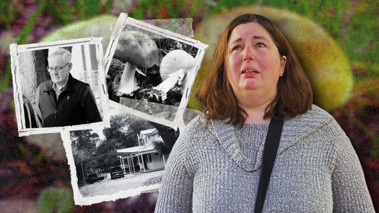
Your ultimate guide to the Erin Patterson mushroom murder trial
Trying to keep up with the trial of mushroom cook Erin Patterson? We’ve compiled all the evidence, witnesses and timeline details for you to keep track of the proceedings.

How Celia Pacquola blew a role in the world’s biggest TV show
Comedian Celia Pacquola has mustered up the strength to tell her darkest story — how she lost out on a role in TV sensation Bluey.

‘Best mates gone’: Heartbreak for teens killed in Orbost crash
Two teenagers, a 15-year-old and 18-year-old, have been remembered as “best mates” who would be “loved forever” after they were killed in a horror car crash in East Gippsland.